120 Beavertail Rd Henderson, NC 27537
Estimated Value: $325,000 - $375,000
3
Beds
2
Baths
1,709
Sq Ft
$203/Sq Ft
Est. Value
About This Home
This home is located at 120 Beavertail Rd, Henderson, NC 27537 and is currently estimated at $346,241, approximately $202 per square foot. 120 Beavertail Rd is a home located in Vance County with nearby schools including Dabney Elementary School, Vance County High School, and Kerr-Vance Academy.
Ownership History
Date
Name
Owned For
Owner Type
Purchase Details
Closed on
Feb 24, 2005
Sold by
Lesher & Associates Inc
Bought by
Silver Larry D
Current Estimated Value
Home Financials for this Owner
Home Financials are based on the most recent Mortgage that was taken out on this home.
Original Mortgage
$127,200
Outstanding Balance
$64,786
Interest Rate
5.68%
Mortgage Type
New Conventional
Estimated Equity
$281,455
Create a Home Valuation Report for This Property
The Home Valuation Report is an in-depth analysis detailing your home's value as well as a comparison with similar homes in the area
Purchase History
| Date | Buyer | Sale Price | Title Company |
|---|---|---|---|
| Silver Larry D | $159,000 | -- |
Source: Public Records
Mortgage History
| Date | Status | Borrower | Loan Amount |
|---|---|---|---|
| Open | Silver Larry D | $127,200 |
Source: Public Records
Tax History
| Year | Tax Paid | Tax Assessment Tax Assessment Total Assessment is a certain percentage of the fair market value that is determined by local assessors to be the total taxable value of land and additions on the property. | Land | Improvement |
|---|---|---|---|---|
| 2025 | $2,727 | $321,409 | $14,414 | $306,995 |
| 2024 | $2,641 | $321,409 | $14,414 | $306,995 |
| 2023 | $1,717 | $163,172 | $18,000 | $145,172 |
| 2022 | $1,717 | $163,172 | $18,000 | $145,172 |
| 2021 | $1,597 | $163,172 | $18,000 | $145,172 |
| 2020 | $1,714 | $163,172 | $18,000 | $145,172 |
| 2019 | $1,709 | $163,172 | $18,000 | $145,172 |
| 2018 | $1,524 | $163,172 | $18,000 | $145,172 |
| 2017 | $1,629 | $163,172 | $18,000 | $145,172 |
| 2016 | $1,629 | $163,172 | $18,000 | $145,172 |
| 2015 | $1,409 | $164,180 | $17,000 | $147,180 |
| 2014 | $1,471 | $164,186 | $17,000 | $147,186 |
Source: Public Records
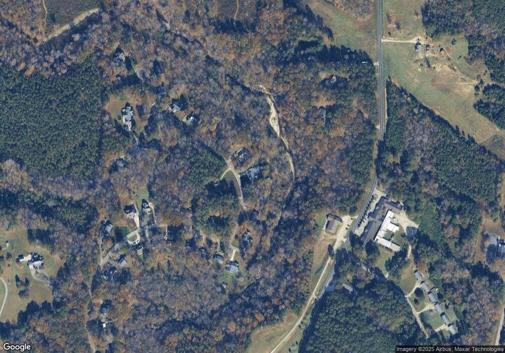
Map
Nearby Homes
- 84 Weybossett Rd
- 0 Us Hwy 158 Hwy Unit CAR4105253
- 1.21 Turner Ln
- 160 Shadowbrook Dr
- 2535 Fairway Dr Unit 3
- 1822 Ruin Creek Rd
- 1630 Ruin Creek Rd
- 206 Beechwood Trail
- 204 Par Dr
- 731 Lakeview Dr
- 126 White Oak Dr
- Lot 5 Sidney Hill
- 131 White Oak Dr
- 00 Oxford Rd Southern Ave Rd
- 1612 Lynne Ave
- 42 Tall Pines Dr
- 1249 Oakridge Ave
- 1231 David Ave
- 114 Dorsey Place
- 2064 Oxford Rd
- 160 Beavertail Rd
- 105 Beavertail Rd
- 112 Beavertail Rd
- 000 Beavertail Rd
- 337 Weybossett Rd
- 102 Beavertail Rd
- 101 Beavertail Rd
- 261 Weybossett Rd
- 228 Beavertail Rd
- 2176 Ruin Creek Rd
- 370 Weybossett Rd
- 292 Weybossett Rd
- 254 Beavertail Rd
- 320 Weybossett Rd
- 45 Beacon Hill Ln
- 260 Weybossett Rd
- 250 Weybossett Rd
- 221 Weybossett Rd
- 2130 Ruin Creek Rd
- 2100 Ruin Creek Rd
Your Personal Tour Guide
Ask me questions while you tour the home.