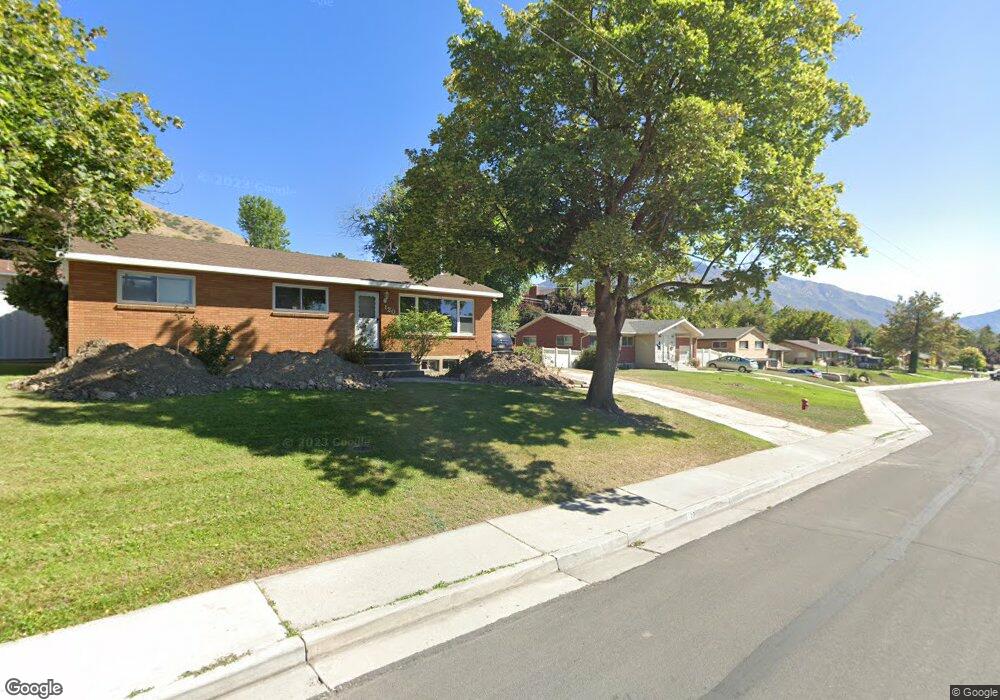
120 N 1300 E Springville, UT 84663
Estimated Value: $464,000 - $504,000
3
Beds
2
Baths
1,242
Sq Ft
$386/Sq Ft
Est. Value
About This Home
This home is located at 120 N 1300 E, Springville, UT 84663 and is currently estimated at $479,765, approximately $386 per square foot. 120 N 1300 E is a home located in Utah County with nearby schools including Art City School, Springville Junior High School, and Springville High School.
Ownership History
Date
Name
Owned For
Owner Type
Purchase Details
Closed on
Jul 21, 2023
Sold by
Terry Maralene
Bought by
Terry Jared David and Terry Shauna Joye
Current Estimated Value
Home Financials for this Owner
Home Financials are based on the most recent Mortgage that was taken out on this home.
Original Mortgage
$427,500
Outstanding Balance
$417,150
Interest Rate
6.71%
Mortgage Type
New Conventional
Estimated Equity
$62,615
Create a Home Valuation Report for This Property
The Home Valuation Report is an in-depth analysis detailing your home's value as well as a comparison with similar homes in the area
Home Values in the Area
Average Home Value in this Area
Purchase History
| Date | Buyer | Sale Price | Title Company |
|---|---|---|---|
| Terry Jared David | -- | Meridian Title Company |
Source: Public Records
Mortgage History
| Date | Status | Borrower | Loan Amount |
|---|---|---|---|
| Open | Terry Jared David | $427,500 |
Source: Public Records
Tax History
| Year | Tax Paid | Tax Assessment Tax Assessment Total Assessment is a certain percentage of the fair market value that is determined by local assessors to be the total taxable value of land and additions on the property. | Land | Improvement |
|---|---|---|---|---|
| 2025 | $2,139 | $266,365 | -- | -- |
| 2024 | $2,139 | $219,120 | $0 | $0 |
| 2023 | $2,074 | $212,740 | $0 | $0 |
| 2022 | $2,096 | $211,145 | $0 | $0 |
| 2021 | $1,826 | $286,200 | $118,300 | $167,900 |
| 2020 | $1,723 | $261,900 | $98,600 | $163,300 |
| 2019 | $1,642 | $254,000 | $90,700 | $163,300 |
| 2018 | $1,603 | $236,600 | $86,800 | $149,800 |
| 2017 | $1,439 | $112,860 | $0 | $0 |
| 2016 | -- | $104,830 | $0 | $0 |
| 2015 | $1,291 | $101,475 | $0 | $0 |
| 2014 | $1,188 | $92,730 | $0 | $0 |
Source: Public Records
Map
Nearby Homes
- 125 S Canyon Ave
- 1185 Hillcrest Dr
- 926 E 250 N
- 1130 Hillcrest Dr
- 1361 E 400 S
- 2078 Spring Oaks Dr
- 1783 E Spring Oaks Dr N Unit 12 & 1
- 1800 Spring Oaks Dr
- 802 S Brookside Dr
- 711 E 400 N
- 557 S 1470 E
- 805 E 400 S
- 437 N 650 St E
- 380 E 200 N
- 645 Swenson Ave Unit 5
- 645 Swenson Ave Unit 3
- 647 Swenson Ave Unit 3
- 445 E 535 S
- 899 E 800 S
- 30 N 200 E
Your Personal Tour Guide
Ask me questions while you tour the home.