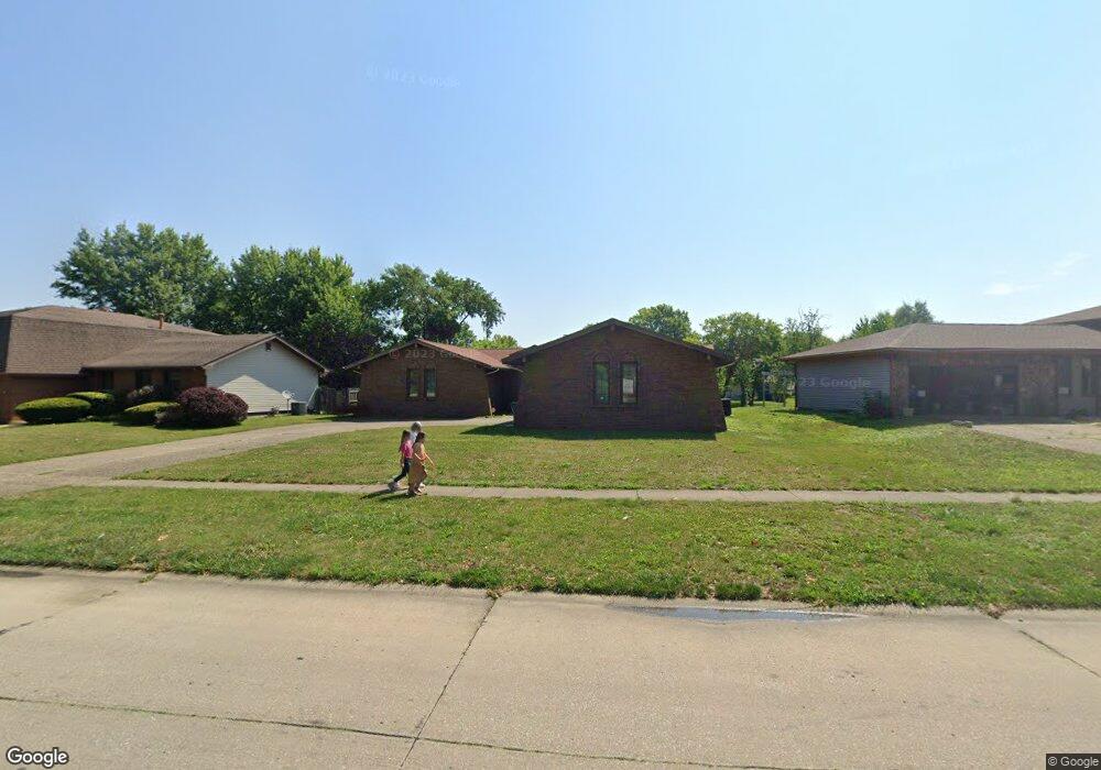
120 S Oxford Rd Springfield, IL 62704
Pasfield Park Place NeighborhoodEstimated Value: $270,000 - $283,000
3
Beds
3
Baths
2,900
Sq Ft
$96/Sq Ft
Est. Value
About This Home
This home is located at 120 S Oxford Rd, Springfield, IL 62704 and is currently estimated at $278,482, approximately $96 per square foot. 120 S Oxford Rd is a home located in Sangamon County with nearby schools including Dubois Elementary School, U.S. Grant Middle School, and Springfield High School.
Ownership History
Date
Name
Owned For
Owner Type
Purchase Details
Closed on
May 20, 2010
Current Estimated Value
Purchase Details
Closed on
Dec 30, 2009
Purchase Details
Closed on
Oct 30, 2009
Purchase Details
Closed on
May 17, 2007
Purchase Details
Closed on
Feb 15, 2006
Purchase Details
Closed on
Oct 27, 1999
Create a Home Valuation Report for This Property
The Home Valuation Report is an in-depth analysis detailing your home's value as well as a comparison with similar homes in the area
Home Values in the Area
Average Home Value in this Area
Purchase History
| Date | Buyer | Sale Price | Title Company |
|---|---|---|---|
| -- | $171,500 | -- | |
| -- | $105,000 | -- | |
| -- | $143,700 | -- | |
| -- | -- | -- | |
| -- | $168,500 | -- | |
| -- | $149,500 | -- |
Source: Public Records
Tax History
| Year | Tax Paid | Tax Assessment Tax Assessment Total Assessment is a certain percentage of the fair market value that is determined by local assessors to be the total taxable value of land and additions on the property. | Land | Improvement |
|---|---|---|---|---|
| 2024 | $6,021 | $77,684 | $10,472 | $67,212 |
| 2023 | $5,743 | $70,957 | $9,565 | $61,392 |
| 2022 | $5,447 | $66,781 | $9,073 | $57,708 |
| 2021 | $5,246 | $64,280 | $8,733 | $55,547 |
| 2020 | $5,142 | $64,376 | $8,746 | $55,630 |
| 2019 | $5,045 | $64,151 | $8,715 | $55,436 |
| 2018 | $4,796 | $62,762 | $8,674 | $54,088 |
| 2017 | $4,690 | $61,951 | $8,562 | $53,389 |
| 2016 | $4,591 | $61,047 | $8,437 | $52,610 |
| 2015 | $4,540 | $60,317 | $8,336 | $51,981 |
| 2014 | $4,355 | $59,927 | $8,282 | $51,645 |
| 2013 | $4,258 | $58,553 | $8,282 | $50,271 |
Source: Public Records
Map
Nearby Homes
- 160 S Durkin Dr Unit 4
- 2637 Sarona Rd
- 2651 W Lawrence Ave Unit 2
- 6 Redwood Ln
- 60 N Oxford Rd
- 36 Trailridge Ln Unit 152
- 97 Mccarthy Dr
- 504 Brandywine Rd
- 2229 Fairway Dr
- 812 Roanoke Dr
- 2900 W Lawrence Ave
- 2138 W Lawrence Ave
- 2134 W Lawrence Ave
- 2118 W Lawrence Ave
- 1914 Jeanette Ln Unit 6
- 1913 Jeanette Ln Unit 8
- 1901 Jeanette Ln Unit 6
- 3229 W Point Dr
- 2223 Cardinal Dr
- 200 S Koke Mill Rd
- 114 S Oxford Rd
- 200 S Oxford Rd
- 110 S Oxford Rd
- 204 S Oxford Rd
- 113 Astoria Rd
- 2520 Raleigh Rd
- 203 Astoria Rd
- 207 Astoria Rd
- 115 Astoria Rd Unit 2
- 123 Astoria Rd
- 119 Astoria Rd
- 211 Astoria Rd
- 111 Astoria Rd
- 107 Astoria Rd
- 109 Astoria Rd Unit 1
- 121 S Oxford Rd
- 117 S Oxford Rd
- 121 Astoria Rd
- 208 S Oxford Rd
Your Personal Tour Guide
Ask me questions while you tour the home.