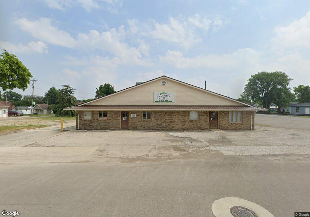
120 W Maple St Deshler, OH 43516
Estimated Value: $129,180
4
Beds
1
Bath
1,200
Sq Ft
$108/Sq Ft
Est. Value
About This Home
This home is located at 120 W Maple St, Deshler, OH 43516 and is currently estimated at $129,180, approximately $107 per square foot. 120 W Maple St is a home located in Henry County with nearby schools including Patrick Henry Middle School and Patrick Henry High School.
Ownership History
Date
Name
Owned For
Owner Type
Purchase Details
Closed on
Jun 19, 2007
Sold by
Wells Fargo Bank Na
Bought by
Deshler Farmers Elevator Co
Current Estimated Value
Purchase Details
Closed on
Nov 18, 2005
Sold by
Quiroga Fernando and Quiroga Rosenda
Bought by
Wells Fargo Bank Minnesota Na and Asset Backed Securities Corp Home Equity
Purchase Details
Closed on
Jun 14, 2001
Sold by
Sager John
Bought by
Quiroga Fernando
Home Financials for this Owner
Home Financials are based on the most recent Mortgage that was taken out on this home.
Original Mortgage
$55,575
Interest Rate
8.75%
Mortgage Type
New Conventional
Purchase Details
Closed on
Sep 2, 1994
Sold by
Grace M Boulis Est
Bought by
John and Sager Tina
Home Financials for this Owner
Home Financials are based on the most recent Mortgage that was taken out on this home.
Original Mortgage
$19,500
Interest Rate
8.59%
Mortgage Type
New Conventional
Create a Home Valuation Report for This Property
The Home Valuation Report is an in-depth analysis detailing your home's value as well as a comparison with similar homes in the area
Purchase History
| Date | Buyer | Sale Price | Title Company |
|---|---|---|---|
| Deshler Farmers Elevator Co | $10,000 | Intitle Agency Inc | |
| Wells Fargo Bank Minnesota Na | $40,000 | -- | |
| Quiroga Fernando | $58,500 | -- | |
| John | $18,000 | -- |
Source: Public Records
Mortgage History
| Date | Status | Borrower | Loan Amount |
|---|---|---|---|
| Previous Owner | Quiroga Fernando | $55,575 | |
| Previous Owner | John | $19,500 |
Source: Public Records
Tax History
| Year | Tax Paid | Tax Assessment Tax Assessment Total Assessment is a certain percentage of the fair market value that is determined by local assessors to be the total taxable value of land and additions on the property. | Land | Improvement |
|---|---|---|---|---|
| 2024 | $525 | $9,520 | $9,520 | $0 |
| 2023 | $538 | $9,520 | $9,520 | $0 |
| 2022 | $632 | $20,580 | $20,580 | $0 |
| 2021 | $632 | $10,290 | $10,290 | $0 |
| 2020 | $660 | $10,290 | $10,290 | $0 |
| 2019 | $649 | $10,290 | $10,290 | $0 |
| 2018 | $668 | $10,290 | $10,290 | $0 |
| 2017 | $633 | $10,290 | $10,290 | $0 |
| 2016 | $120 | $2,570 | $2,570 | $0 |
| 2015 | $115 | $2,570 | $2,570 | $0 |
| 2014 | $114 | $2,570 | $2,570 | $0 |
| 2013 | $114 | $2,570 | $2,570 | $0 |
Source: Public Records
Map
Nearby Homes
- 126 S Keyser Ave
- 429 N Park St
- 524 N Keyser Ave
- 425 W Elm St
- 529 W Maple St
- 424 E Main St
- 407 S Stearns Ave
- 106 N Harvest Dr
- 524 E Elm St
- 423 S Stearns Ave
- 117 Meadow Ln
- 115 Meadow Ln
- 113 N Meadow Ln
- 116 Meadow Ln
- 119 N Harvest St
- 112 N Harvest Dr
- 121 N Harvest St
- 118 N Harvest Dr
- 120 N Harvest Dr
- 102 N Harvest Dr
- 124 W Maple St
- 132 W Maple St
- 120 E Maple St
- 123 W Elm St
- 131 W Elm St
- 131 W Maple St
- 101 W Elm St
- 224 N Keyser Ave
- 119 W Elm St
- 142 N Keyser Ave
- 107 W Elm St
- H533 State Route 65
- 101 E Maple St
- 240 N Keyser Ave
- 130 N Keyser Ave
- 111 E Maple St
- 102 E Maple St
- 114 W Elm St
- 143 N Keyser Ave
- 108 W Elm St
Your Personal Tour Guide
Ask me questions while you tour the home.