1202 Bishop Rd Saline, MI 48176
Estimated Value: $357,000 - $485,000
3
Beds
2
Baths
1,797
Sq Ft
$228/Sq Ft
Est. Value
About This Home
This home is located at 1202 Bishop Rd, Saline, MI 48176 and is currently estimated at $409,337, approximately $227 per square foot. 1202 Bishop Rd is a home located in Washtenaw County with nearby schools including Pleasant Ridge Elementary School, Heritage School, and Saline Middle School.
Ownership History
Date
Name
Owned For
Owner Type
Purchase Details
Closed on
Nov 30, 2022
Sold by
Smith Randall Lee and Smith Randall L
Bought by
Smith Randall L and Smith Marianne E
Current Estimated Value
Purchase Details
Closed on
Mar 29, 2004
Sold by
Elser Mary Anne and Smith Marianne Elser
Bought by
Smith Randall Lee and Smith Marianne Elser
Home Financials for this Owner
Home Financials are based on the most recent Mortgage that was taken out on this home.
Original Mortgage
$237,000
Interest Rate
4.37%
Mortgage Type
New Conventional
Create a Home Valuation Report for This Property
The Home Valuation Report is an in-depth analysis detailing your home's value as well as a comparison with similar homes in the area
Home Values in the Area
Average Home Value in this Area
Purchase History
| Date | Buyer | Sale Price | Title Company |
|---|---|---|---|
| Smith Randall L | -- | Land Title | |
| Smith Randall Lee | -- | Devon Title Agency |
Source: Public Records
Mortgage History
| Date | Status | Borrower | Loan Amount |
|---|---|---|---|
| Previous Owner | Smith Randall Lee | $237,000 |
Source: Public Records
Tax History
| Year | Tax Paid | Tax Assessment Tax Assessment Total Assessment is a certain percentage of the fair market value that is determined by local assessors to be the total taxable value of land and additions on the property. | Land | Improvement |
|---|---|---|---|---|
| 2025 | $3,158 | $172,000 | $0 | $0 |
| 2024 | $3,068 | $159,200 | $0 | $0 |
| 2023 | $2,928 | $152,500 | $0 | $0 |
| 2022 | $3,457 | $142,000 | $0 | $0 |
| 2021 | $3,365 | $135,700 | $0 | $0 |
| 2020 | $3,315 | $134,800 | $0 | $0 |
| 2019 | $3,236 | $128,000 | $128,000 | $0 |
| 2018 | $3,164 | $120,200 | $0 | $0 |
| 2017 | $3,022 | $117,700 | $0 | $0 |
| 2016 | $2,537 | $88,900 | $0 | $0 |
| 2015 | -- | $88,700 | $0 | $0 |
| 2014 | -- | $86,100 | $0 | $0 |
| 2013 | -- | $86,100 | $0 | $0 |
Source: Public Records
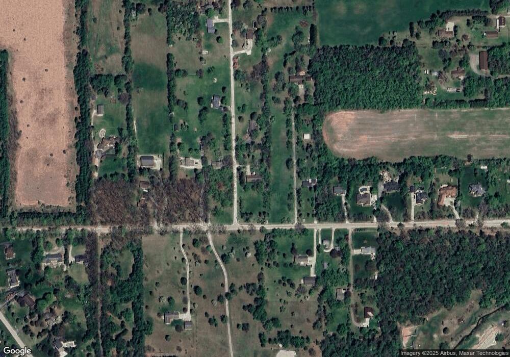
Map
Nearby Homes
- 1100 Longview Ln
- 5071 Rutland Dr
- 9003 York Crest Dr
- 5064 Rutland Dr
- 9002 York Crest Dr
- 5052 Rutland Dr
- 5043 Rutland Dr
- 5048 Rutland Dr
- 9004 Charter Oak Ln
- 5035 Rutland Dr
- 9055 Yorkshire Dr
- 5092 Rutland Dr Unit 71
- 6081 Lincolnshire Dr
- 9109 Pine Hill Ct
- 9180 Yorkshire Dr
- 9453 Whispering Pines Dr
- 112 Burwyck Park Dr
- 122 Burwyck Park Dr
- 290 Shelby Ct Unit 6
- 294 Shelby Ct
Your Personal Tour Guide
Ask me questions while you tour the home.