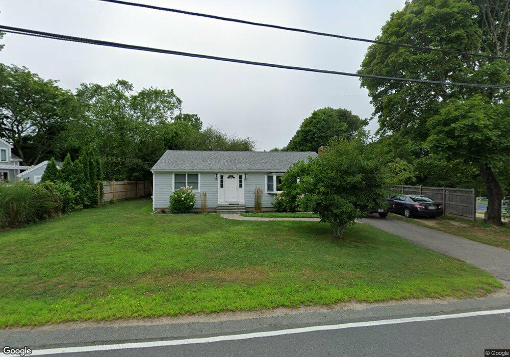
1202 County Rd Bourne, MA 2532
Cataumet NeighborhoodEstimated Value: $577,675 - $905,000
About This Home
This home is located at 1202 County Rd, Bourne, MA 2532 and is currently estimated at $677,419, approximately $705 per square foot. 1202 County Rd is a home located in Barnstable County with nearby schools including Bourne High School, Cadence Academy Preschool - Bourne, and Heritage Christian Academy.
Ownership History
We collect this data history from publicly available records. To have your information removed, we recommend requesting removal directly through your county’s website.
Purchase Details
Purchase Details
Home Financials for this Owner
Home Financials are based on the most recent Mortgage that was taken out on this home.Home Values in the Area
Average Home Value in this Area
Purchase History
We collect this data history from publicly available records. To have your information removed, we recommend requesting removal directly through your county’s website.
| Date | Buyer | Sale Price | Title Company |
|---|---|---|---|
| $327,000 | -- | ||
| $327,000 | -- | ||
| $268,000 | -- | ||
| $268,000 | -- |
Mortgage History
We collect this data history from publicly available records. To have your information removed, we recommend requesting removal directly through your county’s website.
| Date | Status | Borrower | Loan Amount |
|---|---|---|---|
| Previous Owner | $209,450 | ||
| Previous Owner | $214,400 | ||
| Previous Owner | $164,500 |
Tax History
We collect this data history from publicly available records. To have your information removed, we recommend requesting removal directly through your county’s website.
| Year | Tax Paid | Tax Assessment Tax Assessment Total Assessment is a certain percentage of the fair market value that is determined by local assessors to be the total taxable value of land and additions on the property. | Land | Improvement |
|---|---|---|---|---|
| 2025 | $3,603 | $461,300 | $203,800 | $257,500 |
| 2024 | $3,543 | $441,800 | $194,000 | $247,800 |
| 2023 | $3,445 | $391,000 | $171,700 | $219,300 |
| 2022 | $3,210 | $318,100 | $144,000 | $174,100 |
| 2021 | $3,118 | $289,500 | $131,000 | $158,500 |
| 2020 | $3,006 | $279,900 | $129,800 | $150,100 |
| 2019 | $2,597 | $247,100 | $129,800 | $117,300 |
| 2018 | $2,419 | $229,500 | $123,600 | $105,900 |
| 2017 | $2,482 | $241,000 | $136,100 | $104,900 |
| 2016 | $2,253 | $221,800 | $136,100 | $85,700 |
| 2015 | $2,234 | $221,800 | $136,100 | $85,700 |
Map
- 9 Scraggy Neck Road Extension
- 48 Red Brook Harbor Rd
- 105 Scraggy Neck Rd
- 3 Tattler Cir
- 3 Willett Cir
- 22 Nairn Rd
- 52 Club House Dr
- 233 Scraggy Neck Rd
- 75 Winsor Rd
- 679 N Falmouth Hwy
- 23 Club House Dr
- 52 Circuit Ave
- 4 Quail Hill Rd
- 66 Frederick b Douglas Rd
- 60 Wamsutta Ave
- 138 County Rd
- 79 Lake Dr
- 27 Bellavista Dr
- 22 Avery Rd
- 4 Oak Ridge Dr
Ask me questions while you tour the home.