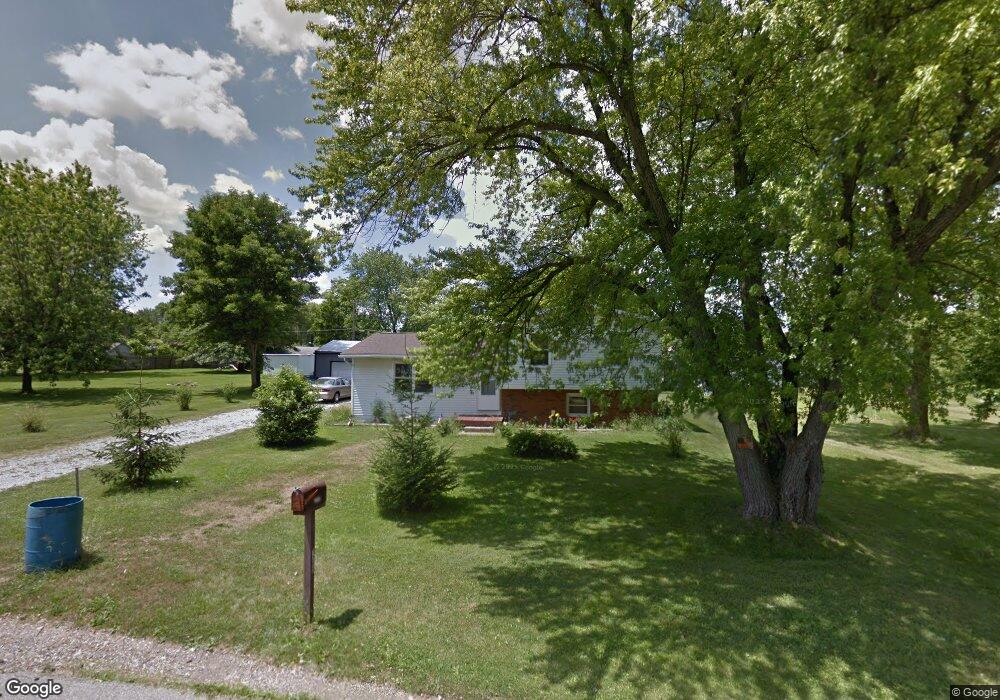
1205 Boyle Rd Mansfield, OH 44906
Estimated Value: $133,036 - $160,000
2
Beds
1
Bath
1,672
Sq Ft
$87/Sq Ft
Est. Value
About This Home
This home is located at 1205 Boyle Rd, Mansfield, OH 44906 and is currently estimated at $145,009, approximately $86 per square foot. 1205 Boyle Rd is a home located in Richland County with nearby schools including Foundation Academy, Mansfield Elective Academy, and Goal Digital Academy.
Ownership History
Date
Name
Owned For
Owner Type
Purchase Details
Closed on
May 26, 2017
Sold by
Carver Dickie and Carver Carolyn
Bought by
Liles Jenna K
Current Estimated Value
Purchase Details
Closed on
Nov 3, 2004
Sold by
The Bank Of New York
Bought by
Henderson Carl L and Henderson Jackie E
Purchase Details
Closed on
Sep 13, 2004
Sold by
Miller Thomas and Miller Theresa
Bought by
The Bank Of New York
Purchase Details
Closed on
Oct 9, 2003
Sold by
Miller Thomas and Miller Theresa
Bought by
The Bank Of New York
Purchase Details
Closed on
Oct 29, 1993
Sold by
Christo Steve
Bought by
Miller Thomas W
Create a Home Valuation Report for This Property
The Home Valuation Report is an in-depth analysis detailing your home's value as well as a comparison with similar homes in the area
Home Values in the Area
Average Home Value in this Area
Purchase History
| Date | Buyer | Sale Price | Title Company |
|---|---|---|---|
| Liles Jenna K | $75,000 | Southern Title | |
| Henderson Carl L | $35,000 | Title First Agency Inc | |
| The Bank Of New York | $49,000 | Title First Agency | |
| The Bank Of New York | $49,000 | -- | |
| Miller Thomas W | $40,000 | -- |
Source: Public Records
Tax History
| Year | Tax Paid | Tax Assessment Tax Assessment Total Assessment is a certain percentage of the fair market value that is determined by local assessors to be the total taxable value of land and additions on the property. | Land | Improvement |
|---|---|---|---|---|
| 2025 | $1,400 | $30,580 | $2,450 | $28,130 |
| 2024 | $1,400 | $30,580 | $2,450 | $28,130 |
| 2023 | $1,432 | $30,580 | $2,450 | $28,130 |
| 2022 | $1,361 | $24,350 | $2,180 | $22,170 |
| 2021 | $1,370 | $24,350 | $2,180 | $22,170 |
| 2020 | $1,401 | $24,350 | $2,180 | $22,170 |
| 2019 | $1,553 | $24,350 | $2,180 | $22,170 |
| 2018 | $1,532 | $24,350 | $2,180 | $22,170 |
| 2017 | $1,490 | $24,350 | $2,180 | $22,170 |
| 2016 | $1,553 | $24,600 | $2,080 | $22,520 |
| 2015 | $1,536 | $24,600 | $2,080 | $22,520 |
| 2014 | $1,464 | $24,600 | $2,080 | $22,520 |
| 2012 | $1,174 | $25,880 | $2,180 | $23,700 |
Source: Public Records
Map
Nearby Homes
- 1210 Boyle Rd
- 640 Hanna Rd
- 630 Hanna Rd
- 891 Springmill Rd
- 1501 Bowman St
- 1101 Lenox Ave
- 1092 N Trimble Rd
- 933 Fairfax Ave
- 880 Fairfax Ave
- 878 Fairfax Ave
- 990 N Trimble Rd
- 1074 NW Wade Dr
- 761 Fairfax Ave
- 728 N Trimble Rd
- 641 Averill Ave
- 0 Highway 30
- 1113 Wyandotte Ave
- 572 France St
- 516 Burns St
- 0 State Route 314 Unit 9069650
Your Personal Tour Guide
Ask me questions while you tour the home.