Estimated Value: $295,000 - $367,000
2
Beds
2
Baths
1,288
Sq Ft
$255/Sq Ft
Est. Value
About This Home
This home is located at 1205 Highway 47 E, Troy, MO 63379 and is currently estimated at $327,907, approximately $254 per square foot. 1205 Highway 47 E is a home located in Lincoln County with nearby schools including Cuivre Park Elementary School, Troy Middle School, and Troy Buchanan High School.
Ownership History
Date
Name
Owned For
Owner Type
Purchase Details
Closed on
Dec 13, 2018
Sold by
Jett Eugene M and Jett Rebecca J
Bought by
Jett Eugene M
Current Estimated Value
Home Financials for this Owner
Home Financials are based on the most recent Mortgage that was taken out on this home.
Original Mortgage
$147,000
Interest Rate
4.9%
Mortgage Type
New Conventional
Purchase Details
Closed on
Dec 10, 2015
Sold by
Jett Eugene M and Jett Linda
Bought by
Jett Eugene M and Jett Rebecca J
Home Financials for this Owner
Home Financials are based on the most recent Mortgage that was taken out on this home.
Original Mortgage
$121,400
Interest Rate
4.03%
Mortgage Type
New Conventional
Create a Home Valuation Report for This Property
The Home Valuation Report is an in-depth analysis detailing your home's value as well as a comparison with similar homes in the area
Purchase History
| Date | Buyer | Sale Price | Title Company |
|---|---|---|---|
| Jett Eugene M | -- | None Available | |
| Jett Eugene M | -- | None Available |
Source: Public Records
Mortgage History
| Date | Status | Borrower | Loan Amount |
|---|---|---|---|
| Closed | Jett Eugene M | $147,000 | |
| Closed | Jett Eugene M | $121,400 |
Source: Public Records
Tax History
| Year | Tax Paid | Tax Assessment Tax Assessment Total Assessment is a certain percentage of the fair market value that is determined by local assessors to be the total taxable value of land and additions on the property. | Land | Improvement |
|---|---|---|---|---|
| 2025 | $2,258 | $36,949 | $4,978 | $31,971 |
| 2024 | $2,163 | $34,715 | $4,560 | $30,155 |
| 2023 | $2,151 | $34,715 | $4,560 | $30,155 |
| 2022 | $2,062 | $33,102 | $4,560 | $28,542 |
| 2021 | $2,073 | $174,220 | $0 | $0 |
| 2020 | $1,851 | $155,490 | $0 | $0 |
| 2019 | $1,853 | $155,490 | $0 | $0 |
| 2018 | $1,825 | $28,738 | $0 | $0 |
| 2017 | $1,830 | $28,738 | $0 | $0 |
| 2016 | $1,621 | $24,829 | $0 | $0 |
| 2015 | $1,625 | $24,829 | $0 | $0 |
| 2014 | $1,649 | $25,131 | $0 | $0 |
| 2013 | -- | $25,190 | $0 | $0 |
Source: Public Records
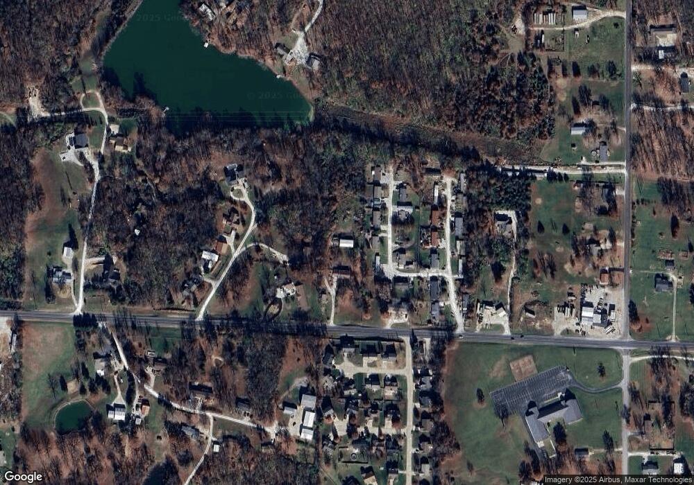
Map
Nearby Homes
- 45 Shelter Dr
- 106 Ridge Rd
- 331 Cuivre Creek Ct
- 1 Cuivre River Dr
- 201 Cuivre Ridge Dr
- 221 Sycamore Creek Dr
- 216 Red Mare Rd
- 315 Pine Ct
- 215 Hunters Chase St
- 235 Hunters Chase St
- 38 Shady Tree Ct
- 151 Hidden Valley Way
- 54 Silver Spur Dr
- 56 Swaying Pine Ln
- 173 Equestrian Dr
- 36 Hunters Pointe Dr
- 35 Swaying Pine Ln
- 22 Saddleback Ridge Dr
- 35 Saddleback Ridge Dr
- 30 Round Table Ct
- 113 Mobile Manor Dr
- 109 Mobile Manor Dr
- 28 Cedar Ln
- 121 Mobile Manor Dr
- 105 Mobile Manor Dr
- 108 Mobile Manor Dr
- 120 Mobile Manor Dr
- 1219 State Highway 47 Unit 1&2
- 1219 Highway 47 E
- 42 Cedar Ln
- 15 Shelter Dr
- 125 Kipling Ct
- 27 Cedar Ln
- 27 Cedar Ln
- 135 Kipling Ct
- 65 Shelter Dr
- 115 Kipling Ct
- 105 Kipling Ct
- 49 Cedar Ln
- 26 Cedar Ln
Your Personal Tour Guide
Ask me questions while you tour the home.