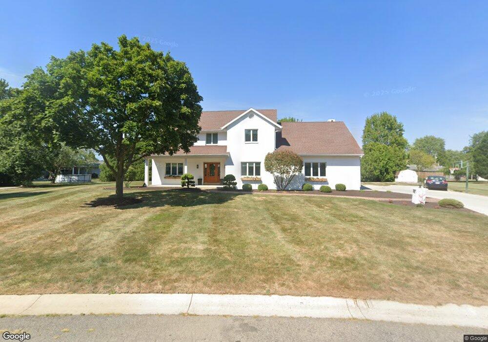
1207 David St van Wert, OH 45891
Estimated Value: $354,000 - $507,913
About This Home
This home is located at 1207 David St, van Wert, OH 45891 and is currently estimated at $442,478, approximately $155 per square foot. 1207 David St is a home located in Van Wert County with nearby schools including Van Wert Early Childhood Center, Van Wert High School, and Lifelinks Community School.
Ownership History
We collect this data history from publicly available records. To have your information removed, we recommend requesting removal directly through your county’s website.
Purchase Details
Home Financials for this Owner
Home Financials are based on the most recent Mortgage that was taken out on this home.Purchase Details
Purchase Details
Home Financials for this Owner
Home Financials are based on the most recent Mortgage that was taken out on this home.Home Values in the Area
Average Home Value in this Area
Purchase History
We collect this data history from publicly available records. To have your information removed, we recommend requesting removal directly through your county’s website.
| Date | Buyer | Sale Price | Title Company |
|---|---|---|---|
| $418,000 | None Available | ||
| $205,000 | -- | ||
| $205,000 | Attorney |
Mortgage History
We collect this data history from publicly available records. To have your information removed, we recommend requesting removal directly through your county’s website.
| Date | Status | Borrower | Loan Amount |
|---|---|---|---|
| Previous Owner | $397,100 | ||
| Previous Owner | $184,500 |
Tax History
We collect this data history from publicly available records. To have your information removed, we recommend requesting removal directly through your county’s website.
| Year | Tax Paid | Tax Assessment Tax Assessment Total Assessment is a certain percentage of the fair market value that is determined by local assessors to be the total taxable value of land and additions on the property. | Land | Improvement |
|---|---|---|---|---|
| 2025 | $4,643 | $139,450 | $12,960 | $126,490 |
| 2024 | $4,643 | $139,450 | $12,960 | $126,490 |
| 2023 | $4,563 | $139,450 | $12,960 | $126,490 |
| 2022 | $3,618 | $96,490 | $7,790 | $88,700 |
| 2021 | $698 | $89,000 | $7,790 | $81,210 |
| 2020 | $3,242 | $89,000 | $7,790 | $81,210 |
| 2019 | $2,886 | $78,040 | $7,790 | $70,250 |
| 2018 | $2,861 | $78,040 | $7,790 | $70,250 |
| 2017 | $2,860 | $78,040 | $7,790 | $70,250 |
| 2016 | $2,784 | $78,060 | $6,710 | $71,350 |
| 2015 | $2,785 | $78,060 | $6,710 | $71,350 |
| 2014 | $2,755 | $78,060 | $6,710 | $71,350 |
| 2013 | $2,966 | $78,060 | $6,710 | $71,350 |
Map
- 1225 David St
- 243 Kenwick Dr
- 1122 Woodland Ave
- 244 Parkview Dr
- 1328 Kathy St
- 837 Elson Ave
- 826 Elson Ave
- 9188 John Brown Rd Unit Lot 29
- 9188 John Brown Rd Unit LOT 50
- 736 Leeson Ave
- 9012 John Brown Rd
- 702 W Main St
- 803 Airport Ave
- 522 South Ave
- 515 W Main St
- 309 Pleasant St
- 390 W Maple Ave
- 499 Shaffer St
- 1312 Rye Dr
- 603 Pewterboy Ave
- 1211 David St
- 1212 Woodland Ave
- 1208 Woodland Ave
- 1216 Woodland Ave
- 1208 David St
- 1217 David St
- 1212 David St
- 1200 David St
- 1204 Woodland Ave
- 1216 David St
- 1220 Woodland Ave
- 1221 David St
- 1205 David St
- 1309 Larry St
- 264 Parkview Dr
- 1313 Larry St
- 1207 Woodland Ave
- 263 Parkview Dr
- 1200 Woodland Ave
- 1305 Larry St
Ask me questions while you tour the home.