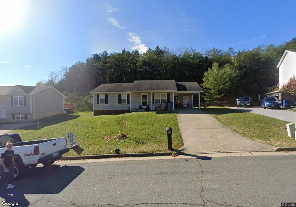
1207 S Fork Dr Front Royal, VA 22630
Estimated Value: $287,000 - $355,000
3
Beds
2
Baths
1,040
Sq Ft
$320/Sq Ft
Est. Value
About This Home
This home is located at 1207 S Fork Dr, Front Royal, VA 22630 and is currently estimated at $332,386, approximately $319 per square foot. 1207 S Fork Dr is a home located in Warren County with nearby schools including E. Wilson Morrison Elementary School, Skyline High School, and Randolph-Macon Academy.
Ownership History
Date
Name
Owned For
Owner Type
Purchase Details
Closed on
Dec 27, 2024
Sold by
Ball William D and Ball Debra M
Bought by
Munson Alan and Munson Lindsey
Current Estimated Value
Home Financials for this Owner
Home Financials are based on the most recent Mortgage that was taken out on this home.
Original Mortgage
$279,346
Outstanding Balance
$275,614
Interest Rate
6.78%
Mortgage Type
New Conventional
Estimated Equity
$56,772
Create a Home Valuation Report for This Property
The Home Valuation Report is an in-depth analysis detailing your home's value as well as a comparison with similar homes in the area
Home Values in the Area
Average Home Value in this Area
Purchase History
| Date | Buyer | Sale Price | Title Company |
|---|---|---|---|
| Munson Alan | $284,500 | Wfg National Title | |
| Munson Alan | $284,500 | Wfg National Title |
Source: Public Records
Mortgage History
| Date | Status | Borrower | Loan Amount |
|---|---|---|---|
| Open | Munson Alan | $279,346 | |
| Closed | Munson Alan | $279,346 |
Source: Public Records
Tax History
| Year | Tax Paid | Tax Assessment Tax Assessment Total Assessment is a certain percentage of the fair market value that is determined by local assessors to be the total taxable value of land and additions on the property. | Land | Improvement |
|---|---|---|---|---|
| 2026 | $1,555 | $324,700 | $70,800 | $253,900 |
| 2025 | $1,555 | $324,700 | $70,800 | $253,900 |
| 2024 | $1,367 | $258,000 | $57,500 | $200,500 |
| 2023 | $1,264 | $258,000 | $57,500 | $200,500 |
| 2022 | $1,180 | $180,100 | $50,000 | $130,100 |
| 2021 | $234 | $180,100 | $50,000 | $130,100 |
| 2020 | $1,180 | $180,100 | $50,000 | $130,100 |
| 2019 | $1,180 | $180,100 | $50,000 | $130,100 |
| 2018 | $1,069 | $161,900 | $50,000 | $111,900 |
| 2017 | $1,052 | $161,900 | $50,000 | $111,900 |
| 2016 | $1,004 | $161,900 | $50,000 | $111,900 |
| 2015 | -- | $161,900 | $50,000 | $111,900 |
| 2014 | -- | $172,500 | $58,000 | $114,500 |
Source: Public Records
Map
Nearby Homes
- 281 Creekside Way
- Lot 26A Strasburg Rd
- Lot 46A Strasburg Rd
- Lot 15A Strasburg Rd
- 91 Acorn Nut Ln
- 610 W Duck St
- 814 W 15th St
- 13 W Strasburg Rd
- 751 W 13th St
- 1064 Strasburg Rd
- 721 W 14th St
- 1311 Monroe Ave
- 1307 Monroe Ave
- 1724 N Shenandoah Ave
- 425 W 15th St
- 101 W 17th St
- 1321 Woodside Ave
- 368 W 9th St
- 1 Depot Ave
- 365 W 9th St
- 1203 S Fork Dr
- 1211 S Fork Dr
- 382 Hill Top Ct
- 1197 S Fork Dr
- 386 Hill Top Ct
- 1215 S Fork Dr
- 381 Hill Top Ct
- 1212 S Fork Dr
- 1208 S Fork Dr
- 1184 River Bend Ct
- 390 Hill Top Ct
- 1193 S Fork Dr
- 1223 S Fork Dr
- 1198 S Fork Dr
- 385 Hill Top Ct
- 1183 River Bend Ct
- 394 Hill Top Ct
- 1220 S Fork Dr
- 389 Hill Top Ct
- 1179 River Bend Ct
Your Personal Tour Guide
Ask me questions while you tour the home.