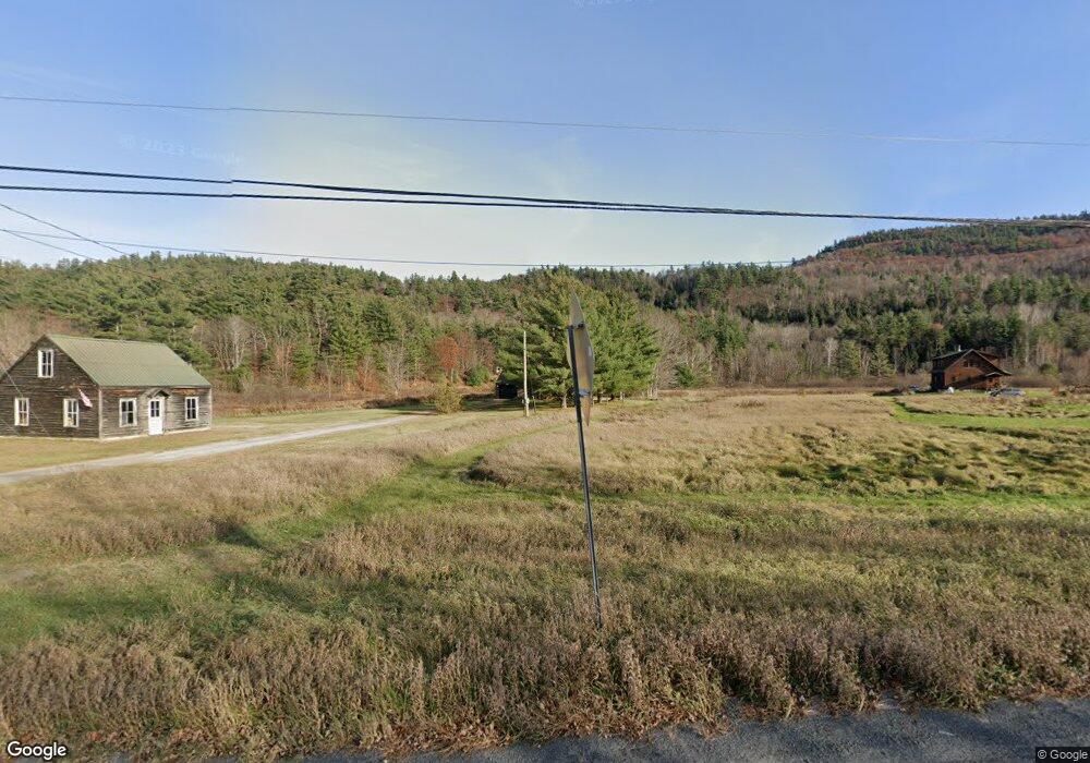
12084 State Route 9n Upper Jay, NY 12987
Estimated Value: $356,000 - $434,000
About This Home
This home is located at 12084 State Route 9n, Upper Jay, NY 12987 and is currently estimated at $392,476, approximately $317 per square foot. 12084 State Route 9n is a home with nearby schools including Ausable Valley High School.
Ownership History
We collect this data history from publicly available records. To have your information removed, we recommend requesting removal directly through your county’s website.
Purchase Details
Home Financials for this Owner
Home Financials are based on the most recent Mortgage that was taken out on this home.Purchase Details
Purchase Details
Home Financials for this Owner
Home Financials are based on the most recent Mortgage that was taken out on this home.Home Values in the Area
Average Home Value in this Area
Purchase History
We collect this data history from publicly available records. To have your information removed, we recommend requesting removal directly through your county’s website.
| Date | Buyer | Sale Price | Title Company |
|---|---|---|---|
| $359,000 | None Available | ||
| $350,100 | None Available | ||
| $154,000 | -- |
Mortgage History
We collect this data history from publicly available records. To have your information removed, we recommend requesting removal directly through your county’s website.
| Date | Status | Borrower | Loan Amount |
|---|---|---|---|
| Open | $341,050 | ||
| Previous Owner | $157,311 |
Tax History
We collect this data history from publicly available records. To have your information removed, we recommend requesting removal directly through your county’s website.
| Year | Tax Paid | Tax Assessment Tax Assessment Total Assessment is a certain percentage of the fair market value that is determined by local assessors to be the total taxable value of land and additions on the property. | Land | Improvement |
|---|---|---|---|---|
| 2025 | $7,509 | $388,300 | $101,100 | $287,200 |
| 2024 | $7,369 | $373,400 | $97,200 | $276,200 |
| 2023 | $7,677 | $355,000 | $72,700 | $282,300 |
| 2022 | $4,427 | $181,700 | $26,200 | $155,500 |
| 2021 | $4,353 | $154,000 | $24,400 | $129,600 |
| 2020 | $4,320 | $141,300 | $24,400 | $116,900 |
| 2019 | $4,405 | $141,300 | $24,400 | $116,900 |
| 2018 | $3,269 | $141,300 | $24,400 | $116,900 |
| 2017 | $3,688 | $141,300 | $24,400 | $116,900 |
| 2016 | $3,659 | $141,300 | $24,400 | $116,900 |
| 2015 | -- | $141,300 | $24,400 | $116,900 |
| 2014 | -- | $141,300 | $24,400 | $116,900 |
Map
- 12134 State Highway 9n
- 11978 Nys Route 9n
- 7 Springfield Rd
- 171 Trumbulls Rd
- 369 Upper Jay-Trumbulls Corners Rd
- 164 Springfield Rd
- 12333 State Route 9n
- 0 Crowningshield Way (Lot #3) Unit 207076
- 0 Mellow Way (Lot #5) Unit 207077
- 0 Mellow Way (Lot #8) Unit 207079
- 0 Mellow Way (Lot #7) Unit 207078
- 313 Springfield Rd
- Lot 2 Styles Brook Rd
- 429 Bartlett Rd
- 103 Perkins Rd
- Hardy Rd Lot: 2
- Lot 3 Hardy Rd
- Lot 2 Hardy Rd
- 60 Indian Rock Rd
- 689 Glen Rd
- 12084 State Route 9n
- 12084 State Highway 9n
- 12094 State Highway 9n
- 12094 State Route 9n
- 12100 State Route 9n
- 12108 Nys Route 9n
- 12108 State Route 9n
- 12108 State Highway 9n
- 0 Nys Route 9n Unit 176229
- 12058 State Route 9n
- 12046 State Route 9n
- 27 Lawrence Way
- 50 Pine Ridge Ln
- 38 Pine Ridge Ln
- 12134 State Route 9n
- 12032 State Route 9n
- 12138 State Route 9n
- 12138 State Highway 9n
- 29 Lawrence Way
- 29 Pine Ridge Ln
Ask me questions while you tour the home.