12085 Salukis Rd Sumner, IL 62466
Estimated Value: $230,000 - $320,608
3
Beds
3
Baths
3,816
Sq Ft
$72/Sq Ft
Est. Value
About This Home
This home is located at 12085 Salukis Rd, Sumner, IL 62466 and is currently estimated at $275,304, approximately $72 per square foot. 12085 Salukis Rd is a home with nearby schools including Bridgeport Grade School, Sumner Attendance Center, and Red Hill Junior/Senior High School.
Ownership History
Date
Name
Owned For
Owner Type
Purchase Details
Closed on
Jul 11, 2003
Bought by
Curts Joseph M and Curts Lisa J
Current Estimated Value
Create a Home Valuation Report for This Property
The Home Valuation Report is an in-depth analysis detailing your home's value as well as a comparison with similar homes in the area
Purchase History
| Date | Buyer | Sale Price | Title Company |
|---|---|---|---|
| Curts Joseph M | -- | -- |
Source: Public Records
Tax History
| Year | Tax Paid | Tax Assessment Tax Assessment Total Assessment is a certain percentage of the fair market value that is determined by local assessors to be the total taxable value of land and additions on the property. | Land | Improvement |
|---|---|---|---|---|
| 2024 | $4,516 | $94,073 | $7,775 | $86,298 |
| 2023 | $4,266 | $83,620 | $6,911 | $76,709 |
| 2022 | $4,098 | $76,365 | $6,311 | $70,054 |
| 2021 | $3,951 | $70,060 | $5,790 | $64,270 |
| 2020 | $3,972 | $68,686 | $5,676 | $63,010 |
| 2019 | $3,886 | $64,500 | $5,330 | $59,170 |
| 2018 | $4,039 | $64,500 | $5,330 | $59,170 |
| 2017 | $4,018 | $59,728 | $4,936 | $54,792 |
| 2016 | $3,919 | $59,728 | $4,936 | $54,792 |
| 2015 | -- | $59,728 | $4,936 | $54,792 |
| 2014 | -- | $59,728 | $4,936 | $54,792 |
Source: Public Records
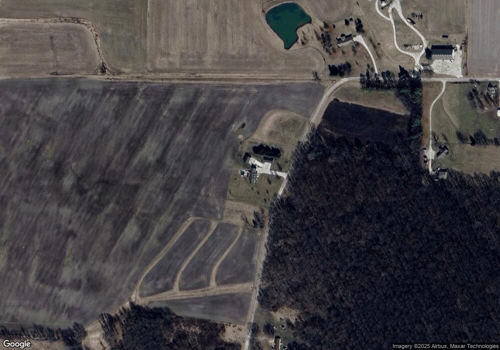
Map
Nearby Homes
- 225 E Sycamore St
- 5272 Red Hills Ln
- 00 Kings Hill Rd
- 119 W Locust St Unit Lot 4 & Lot 5 Block1
- 408 Dubois St
- 12236 Applegate Rd
- 600E 1200 N
- 000 Petrolia Ln
- 0000 Kings Hill Rd
- 0001 Kings Hill Rd
- 0 Kings Hill Rd
- 8647 Franklin Rd
- 000 Tool House Rd
- 1212 Jefferson St
- 108 Acorn Dr
- 16481 Hadley Rd
- 0002 Ruta de Illinois 250
- 0003 Ruta de Illinois 250
- 0001 Ruta de Illinois 250
- 00 3rd St
Your Personal Tour Guide
Ask me questions while you tour the home.