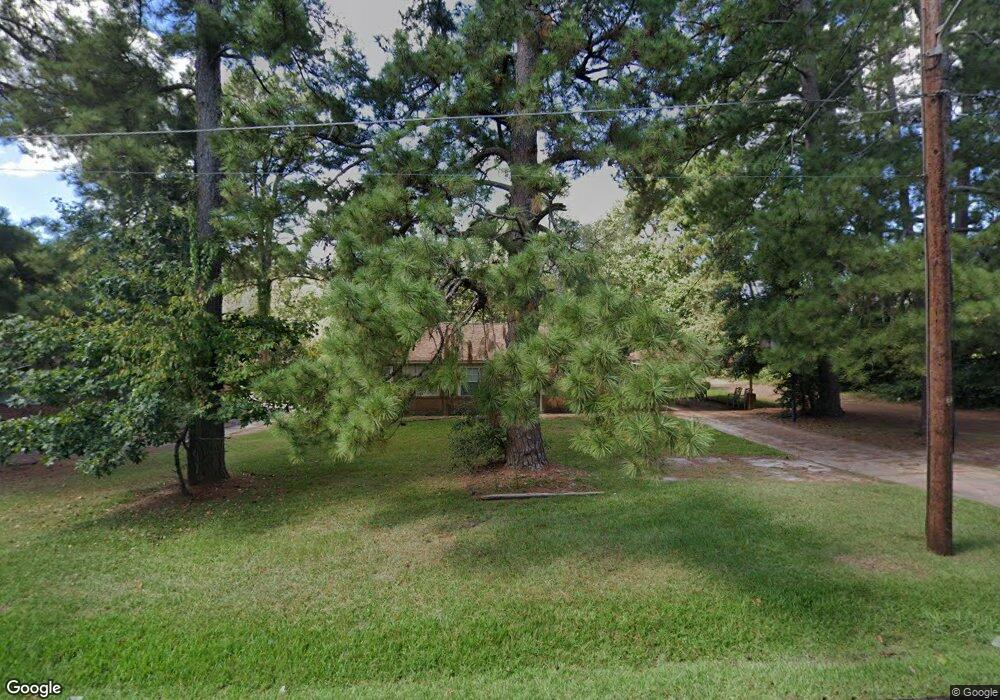
1209 Jane Ave Lufkin, TX 75901
Estimated Value: $102,792 - $163,000
Studio
--
Bath
1,232
Sq Ft
$112/Sq Ft
Est. Value
About This Home
This home is located at 1209 Jane Ave, Lufkin, TX 75901 and is currently estimated at $137,448, approximately $111 per square foot. 1209 Jane Ave is a home located in Angelina County with nearby schools including Herty Primary School, Coston Elementary School, and Lufkin Middle School.
Ownership History
Date
Name
Owned For
Owner Type
Purchase Details
Closed on
May 18, 2007
Sold by
Goodart Max and Goodart Joan
Bought by
Simmons Rosie Lee and Simmons Crystal Jeanell
Current Estimated Value
Home Financials for this Owner
Home Financials are based on the most recent Mortgage that was taken out on this home.
Original Mortgage
$76,292
Outstanding Balance
$46,406
Interest Rate
6.17%
Mortgage Type
FHA
Estimated Equity
$91,042
Purchase Details
Closed on
Oct 27, 2006
Sold by
Wells Fargo Bank Na
Bought by
Goodart Max and Goodart Joann
Create a Home Valuation Report for This Property
The Home Valuation Report is an in-depth analysis detailing your home's value as well as a comparison with similar homes in the area
Purchase History
| Date | Buyer | Sale Price | Title Company |
|---|---|---|---|
| Simmons Rosie Lee | $76,292 | Community Title | |
| Goodart Max | -- | Fidelity National Title Agen |
Source: Public Records
Mortgage History
| Date | Status | Borrower | Loan Amount |
|---|---|---|---|
| Open | Simmons Rosie Lee | $76,292 |
Source: Public Records
Tax History
| Year | Tax Paid | Tax Assessment Tax Assessment Total Assessment is a certain percentage of the fair market value that is determined by local assessors to be the total taxable value of land and additions on the property. | Land | Improvement |
|---|---|---|---|---|
| 2025 | $1,500 | $71,790 | $14,680 | $57,110 |
| 2024 | $1,470 | $70,330 | $14,680 | $55,650 |
| 2023 | $1,401 | $70,490 | $14,680 | $55,810 |
| 2022 | $1,482 | $65,060 | $8,780 | $56,280 |
| 2021 | $1,469 | $60,220 | $8,780 | $51,440 |
| 2020 | $1,333 | $54,230 | $8,780 | $45,450 |
| 2019 | $1,434 | $55,170 | $8,780 | $46,390 |
| 2018 | $1,354 | $56,790 | $8,780 | $48,010 |
| 2017 | $1,164 | $55,190 | $8,780 | $46,410 |
| 2016 | $1,742 | $73,070 | $12,390 | $60,680 |
| 2015 | $600 | $77,920 | $12,390 | $65,530 |
| 2014 | $600 | $79,290 | $12,390 | $66,900 |
Source: Public Records
Map
Nearby Homes
- 1303 Voyle St
- 1114 Maberry St
- 0 N Timberland Dr Unit 26175096
- 1207 Glade St
- TBD N Timberland Dr
- 2502 Davisville Rd
- 2504 Davisville Rd
- 2604 Moffett Rd
- 333 Humason Ave
- 16018 Lot 3 Davisville Rd
- 16018 Lot 1 Davisville Rd
- 16018 Lot 5 Davisville Rd
- 16018 Lot 4 Davisville Rd
- 16018 Lot 2 Davisville Rd
- 16018 Lot 6 Davisville Rd
- Lot 1 Davisville Rd
- 1518 Phelps St
- 233 N Banks St
- 38986 Pecan St
- 223 Stoney Ridge
Your Personal Tour Guide
Ask me questions while you tour the home.