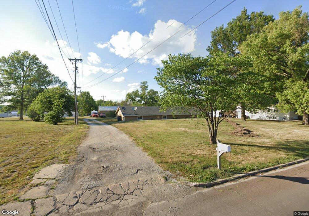
121 E Lockling St Brookfield, MO 64628
Estimated Value: $102,000 - $211,000
Studio
--
Bath
1,680
Sq Ft
$90/Sq Ft
Est. Value
About This Home
This home is located at 121 E Lockling St, Brookfield, MO 64628 and is currently estimated at $150,512, approximately $89 per square foot. 121 E Lockling St is a home with nearby schools including Brookfield Elementary School, Brookfield Middle School, and Brookfield High School.
Ownership History
Date
Name
Owned For
Owner Type
Purchase Details
Closed on
Jul 3, 2017
Sold by
Robison Madonna L
Bought by
Lheureux Bruce and Lheureux Tabitha
Current Estimated Value
Home Financials for this Owner
Home Financials are based on the most recent Mortgage that was taken out on this home.
Original Mortgage
$44,000
Outstanding Balance
$29,741
Interest Rate
3.95%
Mortgage Type
New Conventional
Estimated Equity
$120,771
Purchase Details
Closed on
Jul 1, 2009
Bought by
Robison Madonna
Create a Home Valuation Report for This Property
The Home Valuation Report is an in-depth analysis detailing your home's value as well as a comparison with similar homes in the area
Home Values in the Area
Average Home Value in this Area
Purchase History
| Date | Buyer | Sale Price | Title Company |
|---|---|---|---|
| Lheureux Bruce | $55,100 | Professional Land Title Co | |
| Robison Madonna | -- | -- |
Source: Public Records
Mortgage History
| Date | Status | Borrower | Loan Amount |
|---|---|---|---|
| Open | Lheureux Bruce | $44,000 |
Source: Public Records
Tax History
| Year | Tax Paid | Tax Assessment Tax Assessment Total Assessment is a certain percentage of the fair market value that is determined by local assessors to be the total taxable value of land and additions on the property. | Land | Improvement |
|---|---|---|---|---|
| 2025 | $561 | $9,316 | $1,634 | $7,682 |
| 2024 | $6 | $8,949 | $1,634 | $7,315 |
| 2023 | $558 | $8,949 | $1,634 | $7,315 |
| 2022 | $551 | $8,797 | $1,634 | $7,163 |
| 2021 | $531 | $8,797 | $1,634 | $7,163 |
| 2020 | $552 | $8,797 | $1,634 | $7,163 |
| 2019 | $552 | $8,797 | $1,634 | $7,163 |
| 2018 | $539 | $8,626 | $1,634 | $6,992 |
| 2015 | -- | $8,417 | $1,748 | $6,669 |
| 2011 | -- | $44,100 | $7,900 | $36,200 |
Source: Public Records
Map
Nearby Homes
Your Personal Tour Guide
Ask me questions while you tour the home.