121 Paul Cir Jasper, GA 30143
Estimated Value: $403,000 - $496,000
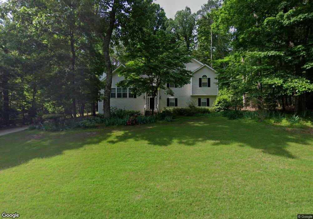
About This Home
This home is located at 121 Paul Cir, Jasper, GA 30143 and is currently estimated at $436,771, approximately $145 per square foot. 121 Paul Cir is a home located in Pickens County with nearby schools including Tate Elementary School, Pickens County Middle School, and Pickens County High School.
Ownership History
We collect this data history from publicly available records. To have your information removed, we recommend requesting removal directly through your county’s website.
Purchase Details
Purchase Details
Purchase Details
Home Values in the Area
Average Home Value in this Area
Purchase History
We collect this data history from publicly available records. To have your information removed, we recommend requesting removal directly through your county’s website.
| Date | Buyer | Sale Price | Title Company |
|---|---|---|---|
| $171,000 | -- | ||
| $147,000 | -- | ||
| $23,900 | -- |
Tax History
We collect this data history from publicly available records. To have your information removed, we recommend requesting removal directly through your county’s website.
| Year | Tax Paid | Tax Assessment Tax Assessment Total Assessment is a certain percentage of the fair market value that is determined by local assessors to be the total taxable value of land and additions on the property. | Land | Improvement |
|---|---|---|---|---|
| 2025 | $1,826 | $181,763 | $12,000 | $169,763 |
| 2024 | $1,995 | $105,831 | $12,000 | $93,831 |
| 2023 | $2,051 | $105,831 | $12,000 | $93,831 |
| 2022 | $2,051 | $105,831 | $12,000 | $93,831 |
| 2021 | $2,197 | $105,831 | $12,000 | $93,831 |
| 2020 | $2,263 | $105,831 | $12,000 | $93,831 |
| 2019 | $1,705 | $79,250 | $12,800 | $66,450 |
| 2018 | $1,721 | $79,250 | $12,800 | $66,450 |
| 2017 | $1,475 | $67,617 | $12,800 | $54,817 |
| 2016 | $1,498 | $67,617 | $12,800 | $54,817 |
| 2015 | $1,464 | $67,617 | $12,800 | $54,817 |
| 2014 | $1,467 | $67,617 | $12,800 | $54,817 |
| 2013 | -- | $67,617 | $12,800 | $54,817 |
Map
- 114 Paul Cir
- 248 Laiken Dr
- 32 Bessie Ln
- 208 Timberline Dr
- 79 Riverstone Way
- 98 Ivy Ridge Dr
- 00 Highway 515 S
- 65 Worley Ct
- 0 Lower Dowda Mill Rd Unit 10648232
- 265 Kimberleys Crossing
- 0 Highway 515 Unit 10177790
- 792 Lower Dowda Mill Rd
- 000 Lower Dowda Mill Rd
- 2063 Canton Rd
- 67 Crossroad Cir
- 1025 Pickens St
- 8080 Brewton Bend
- 773 Fairview Rd
- 2 Highway 53
- 522 Refuge Valley Rd
Ask me questions while you tour the home.