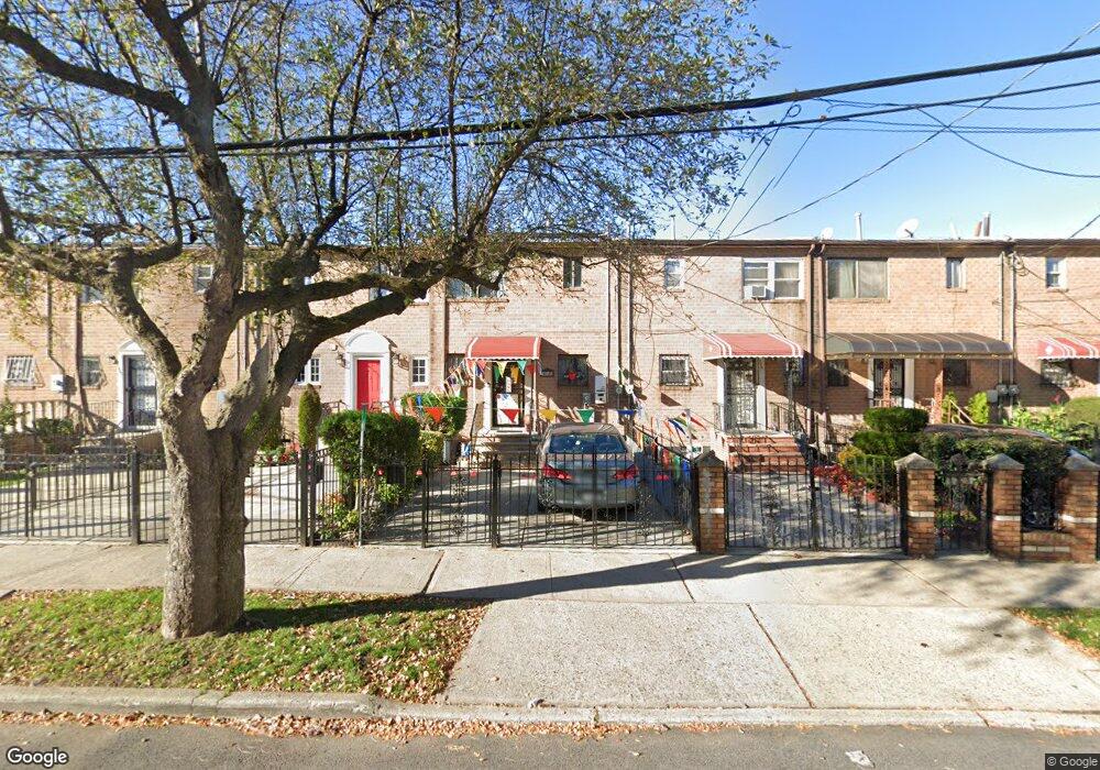
121 Sutter Ave Brooklyn, NY 11212
Brownsville NeighborhoodEstimated Value: $612,925 - $708,000
Studio
--
Bath
1,116
Sq Ft
$591/Sq Ft
Est. Value
About This Home
This home is located at 121 Sutter Ave, Brooklyn, NY 11212 and is currently estimated at $659,731, approximately $591 per square foot. 121 Sutter Ave is a home located in Kings County with nearby schools including P.S. 156 Waverly, P.S. 150 - Christopher, and P.S. 165 Ida Posner.
Ownership History
Date
Name
Owned For
Owner Type
Purchase Details
Closed on
Dec 3, 1999
Sold by
Johnson Erminette
Bought by
Canterbury Wilfred R and Canterbury Joycelyn A
Current Estimated Value
Home Financials for this Owner
Home Financials are based on the most recent Mortgage that was taken out on this home.
Original Mortgage
$142,200
Interest Rate
7.75%
Mortgage Type
Purchase Money Mortgage
Create a Home Valuation Report for This Property
The Home Valuation Report is an in-depth analysis detailing your home's value as well as a comparison with similar homes in the area
Home Values in the Area
Average Home Value in this Area
Purchase History
| Date | Buyer | Sale Price | Title Company |
|---|---|---|---|
| Canterbury Wilfred R | $146,750 | -- |
Source: Public Records
Mortgage History
| Date | Status | Borrower | Loan Amount |
|---|---|---|---|
| Previous Owner | Canterbury Wilfred R | $142,200 |
Source: Public Records
Tax History
| Year | Tax Paid | Tax Assessment Tax Assessment Total Assessment is a certain percentage of the fair market value that is determined by local assessors to be the total taxable value of land and additions on the property. | Land | Improvement |
|---|---|---|---|---|
| 2025 | $4,253 | $32,760 | $15,060 | $17,700 |
| 2024 | $4,253 | $31,560 | $15,060 | $16,500 |
| 2023 | $4,041 | $32,280 | $15,060 | $17,220 |
| 2022 | $3,965 | $28,140 | $15,060 | $13,080 |
| 2021 | $4,152 | $25,380 | $15,060 | $10,320 |
| 2019 | $3,642 | $25,200 | $15,060 | $10,140 |
| 2018 | $3,320 | $17,749 | $8,804 | $8,945 |
| 2017 | $3,318 | $17,749 | $11,452 | $6,297 |
| 2016 | $3,211 | $17,612 | $12,314 | $5,298 |
| 2015 | $1,800 | $16,616 | $9,437 | $7,179 |
| 2014 | $1,800 | $15,676 | $9,496 | $6,180 |
Source: Public Records
Map
Nearby Homes
- 121 Legion St
- 589 Saratoga Ave
- 637 Saratoga Ave
- 1973 Strauss St
- 189 Legion St
- 96 Herzl St
- 687 Saratoga Ave
- 2041 Strauss St
- 31 Tapscott St
- 83 Dumont Ave
- 2087 Union St
- 2127 Union St
- 249 Herzl St
- 79 Amboy St
- 1585 Pitkin Ave
- 267 Legion St
- 244 Grafton St
- 1830 Sterling Place
- 1655 Lincoln Place
- 330 Herzl St
- 119 Sutter Ave
- 123 Sutter Ave
- 117 Sutter Ave
- 125 Sutter Ave
- 115 Sutter Ave
- 127 Sutter Ave
- 129 Sutter Ave
- 588 Saratoga Ave
- 95 Legion St
- 95 Legion St Unit 4-A2
- 95 Legion St Unit 4-A
- 95 Legion St Unit 3-A
- 95 Legion St Unit 4-B
- 95 Legion St Unit 1-B
- 95 Legion St Unit 1-A
- 95 Legion St Unit 2-B
- 95 Legion St Unit 2a
- 95 Legion St Unit 3b
- 95 Legion St Unit 2F
- 131 Sutter Ave
Your Personal Tour Guide
Ask me questions while you tour the home.