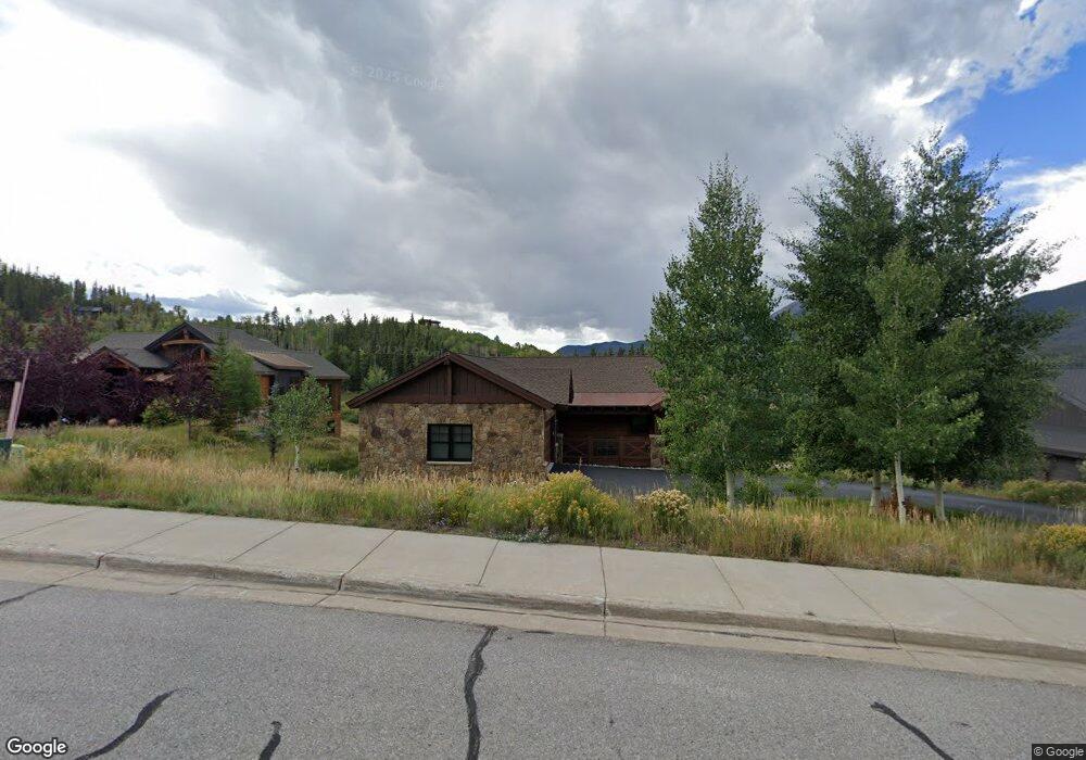
1210 Bald Eagle Rd Silverthorne, CO 80498
Estimated Value: $2,681,602 - $3,093,000
4
Beds
3
Baths
2,099
Sq Ft
$1,388/Sq Ft
Est. Value
About This Home
This home is located at 1210 Bald Eagle Rd, Silverthorne, CO 80498 and is currently estimated at $2,913,651, approximately $1,388 per square foot. 1210 Bald Eagle Rd is a home with nearby schools including Silverthorne Elementary School, Summit Middle School, and Summit High School.
Ownership History
Date
Name
Owned For
Owner Type
Purchase Details
Closed on
May 16, 2011
Sold by
Angler Mountain Llc
Bought by
Hurley Stuart Charles E and Hurley Stuart Mary
Current Estimated Value
Home Financials for this Owner
Home Financials are based on the most recent Mortgage that was taken out on this home.
Original Mortgage
$779,200
Outstanding Balance
$512,451
Interest Rate
3.75%
Mortgage Type
Adjustable Rate Mortgage/ARM
Estimated Equity
$2,401,200
Create a Home Valuation Report for This Property
The Home Valuation Report is an in-depth analysis detailing your home's value as well as a comparison with similar homes in the area
Home Values in the Area
Average Home Value in this Area
Purchase History
| Date | Buyer | Sale Price | Title Company |
|---|---|---|---|
| Hurley Stuart Charles E | $255,000 | Stewart Title |
Source: Public Records
Mortgage History
| Date | Status | Borrower | Loan Amount |
|---|---|---|---|
| Open | Hurley Stuart Charles E | $779,200 |
Source: Public Records
Tax History
| Year | Tax Paid | Tax Assessment Tax Assessment Total Assessment is a certain percentage of the fair market value that is determined by local assessors to be the total taxable value of land and additions on the property. | Land | Improvement |
|---|---|---|---|---|
| 2024 | $9,587 | $181,142 | -- | -- |
| 2023 | $9,587 | $177,456 | $0 | $0 |
| 2022 | $6,769 | $118,470 | $0 | $0 |
| 2021 | $6,828 | $121,879 | $0 | $0 |
| 2020 | $5,497 | $104,820 | $0 | $0 |
| 2019 | $5,422 | $104,820 | $0 | $0 |
| 2018 | $5,326 | $93,221 | $0 | $0 |
| 2017 | $5,954 | $93,221 | $0 | $0 |
| 2016 | $5,928 | $91,792 | $0 | $0 |
| 2015 | $5,784 | $91,792 | $0 | $0 |
| 2014 | $5,111 | $80,289 | $0 | $0 |
| 2013 | -- | $80,289 | $0 | $0 |
Source: Public Records
Map
Nearby Homes
- 84 Mayfly Dr
- 70 Mayfly Dr
- 70 Mayfly Dr Unit 3
- 65 Aerie Dr
- 35 Mayfly Dr
- 50 Fly Caster Ln
- 52 Spinner Place
- 731 Lakeview Cir
- 2206 Hamilton Creek Rd
- 530 Lakeview Cir
- 1347 Rainbow Dr
- 96 Fish Hawk Way
- 96 Fish Hawk Way Unit 96
- 104 Creek Ln
- 107 Mountain Vista Ln
- 113 Badger Ct
- 104 Talon Cir
- 209 E Fox Ct
- 279 Kestrel Ln Unit 279
- 1070 Blue River Pkwy Unit 204
- 1192 Bald Eagle Rd
- 1228 Bald Eagle Rd
- 1246 Bald Eagle Rd
- 1174 Bald Eagle Rd
- 57 Stonefly Dr
- 40 Buckskin Ln
- 61 Stonefly Dr
- 53 Stonefly Dr
- 1085 Bald Eagle Rd
- 1264 Bald Eagle Rd
- 58 Stonefly Dr
- 1105 Bald Eagle Rd
- 68 Buckskin Ln
- 65 Buckskin Ln
- 1282 Bald Eagle Rd
- 50 Stonefly Dr
- 148 Stonefly Dr
- 1008 Bald Eagle Rd
- 160 Stonefly Dr
- 78 Buckskin Ln
Your Personal Tour Guide
Ask me questions while you tour the home.