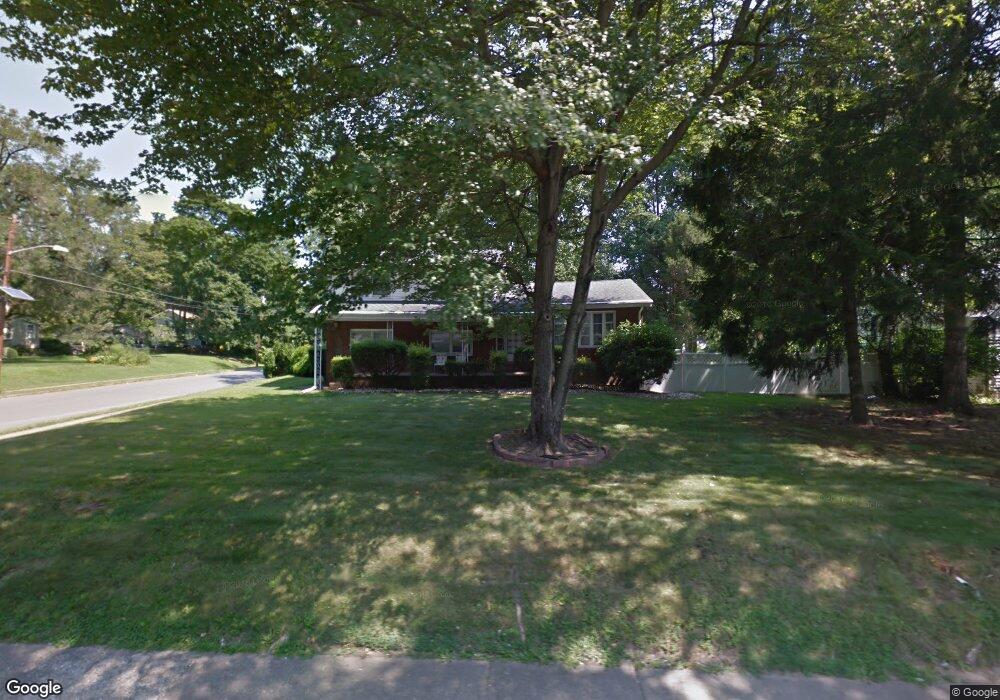
1210 Lower Ferry Rd Ewing, NJ 08618
Parkway Village NeighborhoodEstimated Value: $384,000 - $443,000
4
Beds
2
Baths
1,858
Sq Ft
$221/Sq Ft
Est. Value
About This Home
This home is located at 1210 Lower Ferry Rd, Ewing, NJ 08618 and is currently estimated at $409,845, approximately $220 per square foot. 1210 Lower Ferry Rd is a home located in Mercer County with nearby schools including Ewing High School, The Village Charter School, and Trenton Stem-To-Civics Charter School.
Ownership History
Date
Name
Owned For
Owner Type
Purchase Details
Closed on
May 1, 2023
Sold by
Smith Theodore
Bought by
Smith Marcia
Current Estimated Value
Purchase Details
Closed on
Oct 7, 2014
Bought by
Smith Theodore T
Purchase Details
Closed on
May 31, 2002
Sold by
Decree Shirley
Bought by
Smith Theodore and Smith Marcia
Home Financials for this Owner
Home Financials are based on the most recent Mortgage that was taken out on this home.
Original Mortgage
$143,200
Interest Rate
6.9%
Create a Home Valuation Report for This Property
The Home Valuation Report is an in-depth analysis detailing your home's value as well as a comparison with similar homes in the area
Home Values in the Area
Average Home Value in this Area
Purchase History
| Date | Buyer | Sale Price | Title Company |
|---|---|---|---|
| Smith Marcia | -- | None Listed On Document | |
| Smith Marcia | -- | None Listed On Document | |
| Smith Theodore T | -- | -- | |
| Smith Theodore | $179,000 | -- |
Source: Public Records
Mortgage History
| Date | Status | Borrower | Loan Amount |
|---|---|---|---|
| Previous Owner | Smith Theodore | $143,200 |
Source: Public Records
Tax History
| Year | Tax Paid | Tax Assessment Tax Assessment Total Assessment is a certain percentage of the fair market value that is determined by local assessors to be the total taxable value of land and additions on the property. | Land | Improvement |
|---|---|---|---|---|
| 2025 | $8,810 | $224,000 | $45,200 | $178,800 |
| 2024 | $8,281 | $224,000 | $45,200 | $178,800 |
| 2023 | $8,281 | $224,000 | $45,200 | $178,800 |
| 2022 | $8,057 | $224,000 | $45,200 | $178,800 |
| 2021 | $7,860 | $224,000 | $45,200 | $178,800 |
| 2020 | $7,748 | $224,000 | $45,200 | $178,800 |
| 2019 | $7,547 | $224,000 | $45,200 | $178,800 |
| 2018 | $7,479 | $141,600 | $34,000 | $107,600 |
| 2017 | $7,653 | $141,600 | $34,000 | $107,600 |
| 2016 | $7,550 | $141,600 | $34,000 | $107,600 |
| 2015 | $7,450 | $141,600 | $34,000 | $107,600 |
| 2014 | $7,430 | $141,600 | $34,000 | $107,600 |
Source: Public Records
Map
Nearby Homes
- 1183 Lower Ferry Rd
- 1247 Lower Ferry Rd
- 1060 Terrace Blvd
- 41 Harding St
- 53 Carlton Ave
- 33 Stratford Ave
- 1005 Terrace Blvd
- 1205 Parkway Ave
- 126 Rutledge Ave
- 1103 Parkway Ave
- 20 Steinway Ave
- 27 Walton Ave
- 13 Hickory Hill Dr
- 56 Ridgewood Ave
- 22 Farrell Ave
- 955 Terrace Blvd
- 2 Rockleigh Dr
- 16 Kyle Way Unit 211
- 18 Kyle Way
- 59 Kyle Way
- 1206 Lower Ferry Rd
- 1204 Lower Ferry Rd
- 93 Lanning St
- 1219 1225 Lower Ferry Rd
- 1211 Lower Ferry Rd
- 1202 Lower Ferry Rd
- 1 Stowman Dr
- 1219 Lower Ferry Rd
- 1219 Lower Ferry Rd
- 8 Grafton Ave
- 1214 Lower Ferry Rd
- 21 Conway Ave
- 23 Conway Ave
- 19 Conway Ave
- 4 Stowman Dr
- 17 Conway Ave
- 1199 Lower Ferry Rd
- 0 Lower Ferry Rd
- 3 Stowman Dr
- 88 Lanning St
Your Personal Tour Guide
Ask me questions while you tour the home.