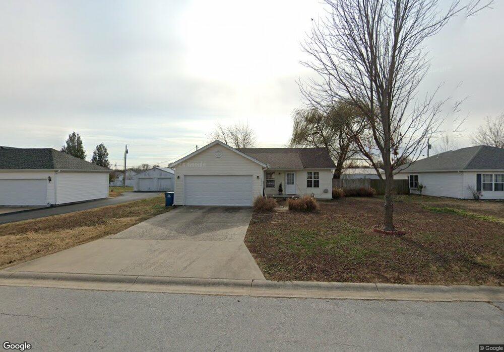
1210 Meadow Ridge Carl Junction, MO 64834
Estimated Value: $139,491 - $180,000
Studio
2
Baths
1,120
Sq Ft
$143/Sq Ft
Est. Value
About This Home
This home is located at 1210 Meadow Ridge, Carl Junction, MO 64834 and is currently estimated at $159,746, approximately $142 per square foot. 1210 Meadow Ridge is a home with nearby schools including Carl Junction Primary School (K-1), Carl Junction Intermediate School, and Carl Junction Primary School (2-3).
Ownership History
Date
Name
Owned For
Owner Type
Purchase Details
Closed on
Sep 29, 2023
Sold by
Phipps Richard L and Phipps Carol N
Bought by
Henson Natalie M and Phipps Natalie M
Current Estimated Value
Purchase Details
Closed on
Mar 17, 2021
Sold by
Wininger Kathy L
Bought by
Henson Joseph A and Henson Natalie M
Purchase Details
Closed on
Jan 9, 2013
Sold by
Crouch Henry L and Crouch Jane H
Bought by
Phipps Natalie M and Phipps Richard L
Home Financials for this Owner
Home Financials are based on the most recent Mortgage that was taken out on this home.
Original Mortgage
$83,460
Interest Rate
3.35%
Mortgage Type
FHA
Purchase Details
Closed on
Jun 28, 2012
Sold by
Lynagh David L and Lynagh Christi D
Bought by
Crouch Henry L and Crouch Jane H
Create a Home Valuation Report for This Property
The Home Valuation Report is an in-depth analysis detailing your home's value as well as a comparison with similar homes in the area
Purchase History
| Date | Buyer | Sale Price | Title Company |
|---|---|---|---|
| Henson Natalie M | -- | None Listed On Document | |
| Henson Joseph A | -- | None Available | |
| Phipps Natalie M | -- | None Available | |
| Crouch Henry L | -- | Mcfadden Land & Title |
Source: Public Records
Mortgage History
| Date | Status | Borrower | Loan Amount |
|---|---|---|---|
| Previous Owner | Phipps Natalie M | $83,460 |
Source: Public Records
Tax History
| Year | Tax Paid | Tax Assessment Tax Assessment Total Assessment is a certain percentage of the fair market value that is determined by local assessors to be the total taxable value of land and additions on the property. | Land | Improvement |
|---|---|---|---|---|
| 2025 | $837 | $16,070 | $2,050 | $14,020 |
| 2024 | $842 | $14,310 | $2,050 | $12,260 |
| 2023 | $842 | $14,310 | $2,050 | $12,260 |
| 2022 | $848 | $14,360 | $2,050 | $12,310 |
| 2021 | $727 | $14,360 | $2,050 | $12,310 |
| 2020 | $684 | $13,270 | $2,050 | $11,220 |
| 2019 | $649 | $13,270 | $2,050 | $11,220 |
| 2018 | $716 | $14,670 | $0 | $0 |
| 2016 | $725 | $14,960 | $0 | $0 |
Source: Public Records
Map
Nearby Homes
- 29923 Ivy Rd
- 310 N Grimes St
- 311 Miller St
- 201 Karen Dr
- 104 Cambridge Dr
- TBD Temple St
- 720 Sheridan Ave
- 120 Concord St
- 307 Ashmore St
- 407 Hodge Dr
- 408 Angel Lea
- 805 Aberdeen Ave
- 809 Aberdeen Ave
- 901 Aberdeen Ave
- 903 Aberdeen Ave
- 905 Aberdeen Ave
- 907 Aberdeen Ave
- 909 Aberdeen Ave
- 1001 Aberdeen Ave
- 804 Aberdeen Ave
- 1302 Meadow Ridge
- 1208 Meadow Ridge
- 1206 Meadow Ridge
- 1211 Bob White Ln
- 1301 Meadow Ridge
- 1209 Meadow Ridge
- 1209 Bob White Ln
- 1211 Meadow Ridge Unit 1
- 1211 Meadow Ridge
- 1301 Bob White Ln
- 1303 Bob White Ln
- 1204 Meadow Ridge
- 1207 Bob White Ln
- 1306 Covey Rd
- 1207 Meadow Ridge
- 1303 Meadow Ridge
- 1305 Meadow Ridge
- 1305 Bob White Ln
- 1205 Bob White Ln
- 1202 Meadow Ridge
Your Personal Tour Guide
Ask me questions while you tour the home.