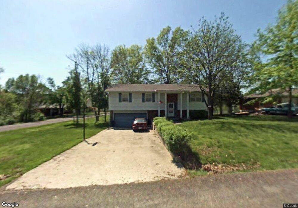
1211 Randall Ln Fulton, MO 65251
Estimated Value: $179,225 - $248,000
3
Beds
2
Baths
1,698
Sq Ft
$120/Sq Ft
Est. Value
About This Home
This home is located at 1211 Randall Ln, Fulton, MO 65251 and is currently estimated at $204,056, approximately $120 per square foot. 1211 Randall Ln is a home located in Callaway County with nearby schools including Fulton Senior High School, Kingdom Christian Academy, and St. Peter Catholic School.
Ownership History
Date
Name
Owned For
Owner Type
Purchase Details
Closed on
Nov 16, 2018
Sold by
Wilson Christopher D and Wilson Kristie R
Bought by
Wilson Christopher D and Wilson Kristie R
Current Estimated Value
Create a Home Valuation Report for This Property
The Home Valuation Report is an in-depth analysis detailing your home's value as well as a comparison with similar homes in the area
Home Values in the Area
Average Home Value in this Area
Purchase History
| Date | Buyer | Sale Price | Title Company |
|---|---|---|---|
| Wilson Christopher D | -- | -- |
Source: Public Records
Tax History
| Year | Tax Paid | Tax Assessment Tax Assessment Total Assessment is a certain percentage of the fair market value that is determined by local assessors to be the total taxable value of land and additions on the property. | Land | Improvement |
|---|---|---|---|---|
| 2025 | $1,284 | $20,785 | $0 | $0 |
| 2024 | $1,284 | $20,785 | $0 | $0 |
| 2023 | $1,286 | $20,310 | $0 | $0 |
| 2022 | $1,250 | $20,310 | $2,421 | $17,889 |
| 2021 | $1,249 | $20,310 | $2,421 | $17,889 |
| 2020 | $1,266 | $20,310 | $2,421 | $17,889 |
| 2019 | $1,225 | $20,310 | $2,421 | $17,889 |
| 2018 | $1,233 | $19,770 | $2,421 | $17,349 |
| 2017 | $1,097 | $19,770 | $2,421 | $17,349 |
| 2016 | $793 | $13,700 | $0 | $0 |
| 2015 | $775 | $13,700 | $0 | $0 |
| 2014 | -- | $13,700 | $0 | $0 |
Source: Public Records
Map
Nearby Homes
- 1400 Marbrooke Dr
- 2 Herring Dr
- 601 Cote Sans Dessein Rd
- 6309 Shale Ct
- 509 S Business 54
- 202 W Chestnut St
- 3.69 ACRES Tennyson Rd
- 210 King St
- 2946 Missouri F
- 820 Mokane Rd
- 1235 Addalyn Dr
- 221 W 6th St
- 1396 Jessica Ln
- 1400 Erik Place
- 213 E 6th St
- 801 Court St
- 839 Green St
- 610 Grand Ave
- 0
- 0 Greenwood Hills Lot#18
- 903 Dixie Ave
- 1209 Randall Ln
- 1301 Randall Ln
- 1210 Randall Ln
- 1207 Randall Ln
- 905 Dixie Ave
- 1300 Randall Ln
- 1208 Randall Ln
- 902 Dixie Ave
- 1303 Randall Ln
- 1206 Randall Ln
- 0 Dixie Ave
- 1211 Cote Sans Dessein Rd
- 1302 Randall Ln
- 905 Rosedale St
- 1209 Cote Sans Dessein Rd
- 1204 Randall Ln
- 1300 Glenstone Dr
- 1304 Glenstone Dr
- 1305 Randall Ln
Your Personal Tour Guide
Ask me questions while you tour the home.