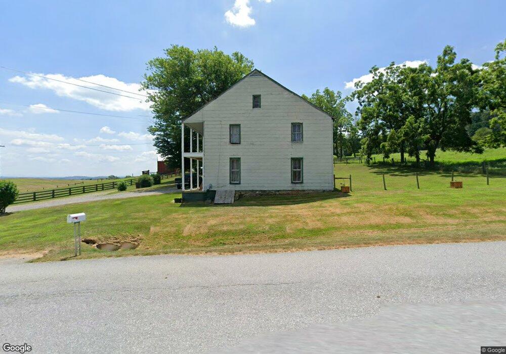
12135 National Pike Clear Spring, MD 21722
Estimated Value: $284,000 - $390,212
Studio
1
Bath
2,280
Sq Ft
$142/Sq Ft
Est. Value
About This Home
This home is located at 12135 National Pike, Clear Spring, MD 21722 and is currently estimated at $323,737, approximately $141 per square foot. 12135 National Pike is a home located in Washington County with nearby schools including Clear Spring Elementary School, Clear Spring Middle School, and Clear Spring High School.
Ownership History
Date
Name
Owned For
Owner Type
Purchase Details
Closed on
Feb 16, 2010
Sold by
Bragunier Donald Le
Bought by
Bragunier Charlene M
Current Estimated Value
Purchase Details
Closed on
Mar 26, 1982
Sold by
Hamers Daniel M
Bought by
Bragunier Donald Lee
Home Financials for this Owner
Home Financials are based on the most recent Mortgage that was taken out on this home.
Original Mortgage
$32,500
Interest Rate
17.04%
Create a Home Valuation Report for This Property
The Home Valuation Report is an in-depth analysis detailing your home's value as well as a comparison with similar homes in the area
Purchase History
We collect this data history from publicly available records. To have your information removed, we recommend requesting removal directly through your county’s website.
| Date | Buyer | Sale Price | Title Company |
|---|---|---|---|
| Bragunier Charlene M | -- | -- | |
| Bragunier Donald Lee | $72,500 | -- |
Source: Public Records
Mortgage History
We collect this data history from publicly available records. To have your information removed, we recommend requesting removal directly through your county’s website.
| Date | Status | Borrower | Loan Amount |
|---|---|---|---|
| Previous Owner | Bragunier Donald Lee | $32,500 |
Source: Public Records
Tax History
| Year | Tax Paid | Tax Assessment Tax Assessment Total Assessment is a certain percentage of the fair market value that is determined by local assessors to be the total taxable value of land and additions on the property. | Land | Improvement |
|---|---|---|---|---|
| 2025 | $1,746 | $198,433 | $0 | $0 |
| 2024 | $1,746 | $172,367 | $0 | $0 |
| 2023 | $1,515 | $146,300 | $79,200 | $67,100 |
| 2022 | $1,498 | $144,700 | $0 | $0 |
| 2021 | $1,517 | $143,100 | $0 | $0 |
| 2020 | $1,493 | $141,500 | $79,200 | $62,300 |
| 2019 | $1,500 | $141,500 | $79,200 | $62,300 |
| 2018 | $1,500 | $141,500 | $79,200 | $62,300 |
| 2017 | $1,500 | $141,500 | $0 | $0 |
| 2016 | -- | $139,733 | $0 | $0 |
| 2015 | -- | $137,967 | $0 | $0 |
| 2014 | $1,653 | $136,200 | $0 | $0 |
Source: Public Records
Map
Nearby Homes
- 11868 National Pike
- 12421 Nesbitt Ave
- 21 Cumberland St
- 0 Mulberry St
- 11614 National Pike
- 11430 National Pike
- 11717 Ashton Rd
- Block 92 Lot 41 Neverglades Rd
- Block 92 Lot 40 Neverglades Ave
- Block 91 Lot 5 Bear Bottom Rd
- Block 12 Lot 41 Ranger Rd
- Block 17 Lot 8 Avalanche Ave
- Block 7 Lot 30 & 31 Campfire Blvd
- Block 7 Lot 21 Campfire Blvd
- Block 8 Lot 16 & 17 Campfire Blvd
- Block 18 Lot 44 Hollow Log
- Block 21 Lot 4 Old Faceful St
- Block 1 Lot 27 Boo Blvd
- Block 6 Lot 21 Yogi Bear Ln
- 25-20 Rocky Rd
- 12102 National Pike
- 12206 National Pike
- 12212 National Pike
- 12035 National Pike
- 12072 National Pike
- 12140 National Pike
- 12033 National Pike
- 12029 National Pike
- 12025 National Pike Unit 12029
- 12025 National Pike
- 12315 Forrest Hill Rd
- 12345 National Pike
- 12317 Forrest Hill Rd
- 12019 National Pike
- 12021 National Pike
- 12068 National Pike
- 12627 Coyote Crossing Ln
- 12313 Forrest Hill Rd
- 12020 National Pike
- 12311 Forrest Hill Rd
Your Personal Tour Guide
Ask me questions while you tour the home.