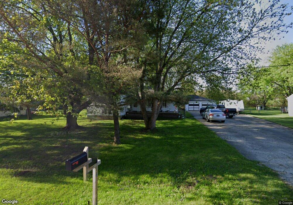
1214 Linus St Flint, MI 48507
Grand Blanc Township AreaEstimated Value: $201,000 - $215,000
About This Home
This home is located at 1214 Linus St, Flint, MI 48507 and is currently estimated at $208,278, approximately $146 per square foot. 1214 Linus St is a home located in Genesee County with nearby schools including Anderson Elementary School, McGrath Elementary School, and Grand Blanc West Middle School.
Ownership History
We collect this data history from publicly available records. To have your information removed, we recommend requesting removal directly through your county’s website.
Purchase Details
Home Financials for this Owner
Home Financials are based on the most recent Mortgage that was taken out on this home.Home Values in the Area
Average Home Value in this Area
Purchase History
We collect this data history from publicly available records. To have your information removed, we recommend requesting removal directly through your county’s website.
| Date | Buyer | Sale Price | Title Company |
|---|---|---|---|
| $145,000 | Dream Title & Escrow |
Mortgage History
We collect this data history from publicly available records. To have your information removed, we recommend requesting removal directly through your county’s website.
| Date | Status | Borrower | Loan Amount |
|---|---|---|---|
| Open | $115,975 |
Tax History
We collect this data history from publicly available records. To have your information removed, we recommend requesting removal directly through your county’s website.
| Year | Tax Paid | Tax Assessment Tax Assessment Total Assessment is a certain percentage of the fair market value that is determined by local assessors to be the total taxable value of land and additions on the property. | Land | Improvement |
|---|---|---|---|---|
| 2025 | $2,906 | $116,200 | $0 | $0 |
| 2024 | $1,285 | $111,300 | $0 | $0 |
| 2023 | $1,226 | $80,400 | $0 | $0 |
| 2022 | $2,036 | $76,600 | $0 | $0 |
| 2021 | $2,005 | $65,200 | $0 | $0 |
| 2020 | $1,130 | $62,000 | $0 | $0 |
| 2019 | $1,113 | $57,300 | $0 | $0 |
| 2018 | $1,825 | $50,800 | $0 | $0 |
| 2017 | $1,755 | $41,600 | $0 | $0 |
| 2016 | $1,872 | $44,900 | $0 | $0 |
| 2015 | $1,913 | $47,500 | $0 | $0 |
| 2012 | -- | $45,700 | $45,700 | $0 |
Map
- 00 Mckinley Blvd
- 000 Mckinley Blvd
- 5126 Sandalwood Cir Unit 19
- 5146 Sandalwood Cir
- 5137 Sandalwood Cir
- 5153 Fenton Rd
- 0000 Coolidge Dr
- 5152 Sandalwood Cir
- 0000 Mckinley Blvd
- 00 Coolidge Dr
- 000 Coolidge Dr
- 1076 Washington Dr
- 0 Jefferson Blvd
- 5057 Sandalwood Dr
- 5378 Fenton Rd
- 5200 Wishing Well Dr
- 1075 E Hill Rd
- 1393 Friel St
- 2040 E Maple Ave
- 1093 W Maple Ave
Ask me questions while you tour the home.