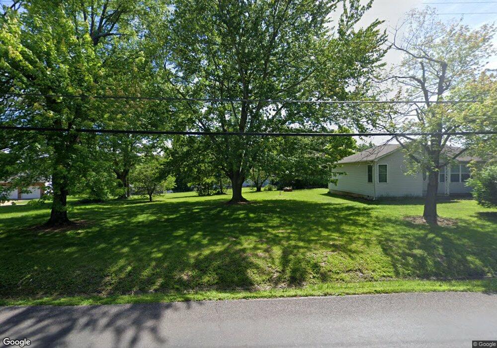
1214 Parkway Dr Saint Clair, MO 63077
Estimated Value: $138,256 - $175,000
2
Beds
1
Bath
782
Sq Ft
$206/Sq Ft
Est. Value
About This Home
This home is located at 1214 Parkway Dr, Saint Clair, MO 63077 and is currently estimated at $160,814, approximately $205 per square foot. 1214 Parkway Dr is a home located in Franklin County with nearby schools including St. Clair Elementary School, Edgar Murray Elementary School, and St. Clair Junior High School.
Ownership History
Date
Name
Owned For
Owner Type
Purchase Details
Closed on
Jul 24, 2009
Sold by
Barns Michael L and Barns Rochelle L
Bought by
Relative Group Llc
Current Estimated Value
Home Financials for this Owner
Home Financials are based on the most recent Mortgage that was taken out on this home.
Original Mortgage
$68,000
Interest Rate
5.41%
Mortgage Type
Purchase Money Mortgage
Create a Home Valuation Report for This Property
The Home Valuation Report is an in-depth analysis detailing your home's value as well as a comparison with similar homes in the area
Home Values in the Area
Average Home Value in this Area
Purchase History
We collect this data history from publicly available records. To have your information removed, we recommend requesting removal directly through your county’s website.
| Date | Buyer | Sale Price | Title Company |
|---|---|---|---|
| Relative Group Llc | -- | None Available |
Source: Public Records
Mortgage History
We collect this data history from publicly available records. To have your information removed, we recommend requesting removal directly through your county’s website.
| Date | Status | Borrower | Loan Amount |
|---|---|---|---|
| Closed | Relative Group Llc | $68,000 |
Source: Public Records
Tax History
| Year | Tax Paid | Tax Assessment Tax Assessment Total Assessment is a certain percentage of the fair market value that is determined by local assessors to be the total taxable value of land and additions on the property. | Land | Improvement |
|---|---|---|---|---|
| 2025 | $1,122 | $17,832 | $0 | $0 |
| 2024 | $1,122 | $16,171 | $0 | $0 |
| 2023 | $922 | $16,171 | $0 | $0 |
| 2022 | $871 | $15,267 | $0 | $0 |
| 2021 | $870 | $15,267 | $0 | $0 |
| 2020 | $838 | $14,087 | $0 | $0 |
| 2019 | $831 | $14,087 | $0 | $0 |
| 2018 | $814 | $13,633 | $0 | $0 |
| 2017 | $814 | $13,633 | $0 | $0 |
| 2016 | $789 | $13,192 | $0 | $0 |
| 2015 | $728 | $13,192 | $0 | $0 |
| 2014 | $737 | $13,331 | $0 | $0 |
Source: Public Records
Map
Nearby Homes
- 243 Duffers Dr
- 0 Gravois Rd Unit 11555468
- 614 T-Box Dr
- 325 Iris Ct
- 1140 Sycamore Ln
- 1255 Diane St
- 1018 Sara Jane Ln
- 0 Oak Ridge Dr Unit MIS26024074
- 1383 Oakridge Estates Dr
- 330 Young St
- 205 Cottage St
- 0 Crescent Lake Rd Unit MIS25079528
- 530 Crest St
- 208 Mosley Ave
- 5 Lots Mosley Ave
- 765 N Main St
- 909 Q Ave
- 1560 Hinson Lance
- 10 Dogwood Dr
- 1560 Hinson Ln
- 1220 Parkway Dr
- 1212 Parkway Dr
- 1065 Gravois Rd
- 1206 Parkway Dr
- 1244 Parkway Dr
- 1241 Parkway Dr
- 1200 Parkway Dr
- 1225 Parkway Dr
- 1207 Parkway Dr
- 1231 Parkway Dr
- 1219 Parkway Dr
- 1258 Parkway Dr
- 1201 Virginia Mines Rd
- 1245 Parkway Dr
- 1031 Gravois Rd
- 1050 Gravois Rd
- 1253 Parkway Dr
- 1264 Parkway Dr
- 1261 Parkway Dr
- 989 Clay St
Your Personal Tour Guide
Ask me questions while you tour the home.