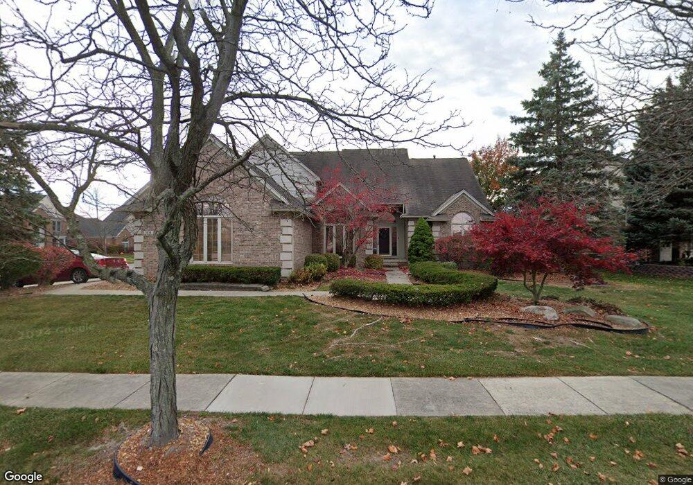
1215 Crowndale Ln Canton, MI 48188
Canton AreaEstimated Value: $624,000 - $690,000
About This Home
This home is located at 1215 Crowndale Ln, Canton, MI 48188 and is currently estimated at $642,204, approximately $244 per square foot. 1215 Crowndale Ln is a home located in Wayne County with nearby schools including Canton High School, Plymouth High School, and Salem High School.
Ownership History
We collect this data history from publicly available records. To have your information removed, we recommend requesting removal directly through your county’s website.
Purchase Details
Purchase Details
Home Financials for this Owner
Home Financials are based on the most recent Mortgage that was taken out on this home.Home Values in the Area
Average Home Value in this Area
Purchase History
We collect this data history from publicly available records. To have your information removed, we recommend requesting removal directly through your county’s website.
| Date | Buyer | Sale Price | Title Company |
|---|---|---|---|
| -- | None Available | ||
| $339,000 | Multiple |
Mortgage History
We collect this data history from publicly available records. To have your information removed, we recommend requesting removal directly through your county’s website.
| Date | Status | Borrower | Loan Amount |
|---|---|---|---|
| Open | $311,700 | ||
| Previous Owner | $254,200 | ||
| Previous Owner | $84,700 | ||
| Previous Owner | $352,000 | ||
| Previous Owner | $186,750 | ||
| Previous Owner | $183,000 | ||
| Previous Owner | $136,500 |
Tax History
We collect this data history from publicly available records. To have your information removed, we recommend requesting removal directly through your county’s website.
| Year | Tax Paid | Tax Assessment Tax Assessment Total Assessment is a certain percentage of the fair market value that is determined by local assessors to be the total taxable value of land and additions on the property. | Land | Improvement |
|---|---|---|---|---|
| 2025 | $3,683 | $284,200 | $0 | $0 |
| 2024 | $3,578 | $255,700 | $0 | $0 |
| 2023 | $3,411 | $230,600 | $0 | $0 |
| 2022 | $7,363 | $211,900 | $0 | $0 |
| 2021 | $7,145 | $204,000 | $0 | $0 |
| 2020 | $7,060 | $204,700 | $0 | $0 |
| 2019 | $6,930 | $195,770 | $0 | $0 |
| 2018 | $2,899 | $189,090 | $0 | $0 |
| 2017 | $6,971 | $184,400 | $0 | $0 |
| 2016 | $6,291 | $182,300 | $0 | $0 |
| 2015 | $15,931 | $170,510 | $0 | $0 |
| 2013 | $15,433 | $164,130 | $0 | $0 |
| 2010 | -- | $138,360 | $73,349 | $65,011 |
Map
- 50109 Ogden Rd
- 2130 Stonebridge Way
- 2101 Stonebridge Way
- 756 Sandalwood Rd
- 47222 Northgate Ct
- 47507 Vistas Circle Dr N
- 2304 Cleveland Way
- 47603 Scenic Circle Dr S
- 429 Delaford Ct
- 2590 Oakham Ct
- 2619 N Woods Blvd
- 592 Terrace Ct
- 2680 N Woods Blvd
- 1849 Wentworth Ct
- 48606 Greenwich Cir
- 443 Lenox Dr
- 4987 Mayer St
- 46000 Geddes Lot 179 Rd
- 48560 Manhattan Cir
- 45331 Rector Dr
- 1269 Crowndale Ln
- 46436 Southwick Dr
- 46289 Southwick Dr
- 46437 Southwick Dr
- 1297 Crowndale Ln
- 1200 Crowndale Ln
- 46141 Southwick Dr
- 46584 Southwick Dr
- 1228 Crowndale Ln
- 46585 Southwick Dr
- 1256 Crowndale Ln
- 45993 Southwick Dr
- 1353 Crowndale Ln
- 1284 Crowndale Ln
- 1409 Crowndale Ln
- 46802 Southwick Dr
- 46733 Southwick Dr
- 45845 Southwick Dr
- 1312 Crowndale Ln
- 1437 Crowndale Ln
Ask me questions while you tour the home.