Estimated Value: $331,000 - $390,000
2
Beds
1
Bath
1,320
Sq Ft
$268/Sq Ft
Est. Value
About This Home
This home is located at 1215 Kool Rd, Kelso, WA 98626 and is currently estimated at $354,152, approximately $268 per square foot. 1215 Kool Rd is a home located in Cowlitz County with nearby schools including Carrolls Elementary School, Coweeman Middle School, and Kelso High School.
Ownership History
Date
Name
Owned For
Owner Type
Purchase Details
Closed on
Aug 13, 2014
Sold by
Jacobs Matthew Z and Miller Jacobs Jaime D
Bought by
Bratton Brandy and Dean Kaleb
Current Estimated Value
Home Financials for this Owner
Home Financials are based on the most recent Mortgage that was taken out on this home.
Original Mortgage
$142,373
Outstanding Balance
$105,628
Interest Rate
3.87%
Mortgage Type
FHA
Estimated Equity
$248,524
Purchase Details
Closed on
May 3, 2014
Sold by
Kretschmer Louis F and Kretschmer Karen M
Bought by
Jacobs Matthew Z and Miller Jacobs Jaime
Purchase Details
Closed on
Mar 21, 2013
Sold by
Jacobs Jesse Zane
Bought by
Jacobs Miller Jamie D and Jacobs Matthew Z
Create a Home Valuation Report for This Property
The Home Valuation Report is an in-depth analysis detailing your home's value as well as a comparison with similar homes in the area
Purchase History
| Date | Buyer | Sale Price | Title Company |
|---|---|---|---|
| Bratton Brandy | -- | Stewart Title | |
| Jacobs Matthew Z | -- | None Available | |
| Jacobs Miller Jamie D | -- | None Available |
Source: Public Records
Mortgage History
| Date | Status | Borrower | Loan Amount |
|---|---|---|---|
| Open | Bratton Brandy | $142,373 |
Source: Public Records
Tax History
| Year | Tax Paid | Tax Assessment Tax Assessment Total Assessment is a certain percentage of the fair market value that is determined by local assessors to be the total taxable value of land and additions on the property. | Land | Improvement |
|---|---|---|---|---|
| 2024 | $2,383 | $233,740 | $28,750 | $204,990 |
| 2023 | $2,386 | $238,760 | $27,380 | $211,380 |
| 2022 | $2,461 | $211,810 | $26,080 | $185,730 |
| 2021 | $2,279 | $224,380 | $23,180 | $201,200 |
| 2020 | $1,785 | $192,580 | $22,070 | $170,510 |
| 2019 | $1,777 | $151,230 | $20,066 | $131,164 |
| 2018 | $1,647 | $143,810 | $20,070 | $123,740 |
| 2017 | $1,457 | $121,220 | $19,110 | $102,110 |
| 2016 | $1,450 | $107,480 | $19,110 | $88,370 |
| 2015 | $1,433 | $108,780 | $21,680 | $87,100 |
| 2013 | -- | $97,460 | $19,710 | $77,750 |
Source: Public Records
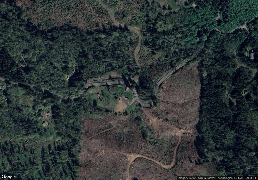
Map
Nearby Homes
- 1556 Kool Rd
- 830 Kool Rd
- 1712 Mount Pleasant Rd
- 300 Cross Creek Rd
- 622 Mount Pleasant Rd
- 1239 Rose Valley Rd
- 3554 Old Pacific Hwy S
- 426 Rose Garden Ln
- 125 River Glen Terrace
- 244 Risley Rd Unit C
- 49 Essex Dr
- 105 Island View Ln
- 1834 Rose Valley Rd
- 300 Modrow Rd
- 3116 Old Pacific Hwy S
- 156 Peppermill Rd
- 1720 Bodine Extension Rd
- 2519 Rose Valley Rd
- 116 Noreen Ln
- 0 Spencer Creek Rd Unit Lot 1
- 1205 Kool Rd
- 1039 Kool Rd
- 167 Bella Vista Rd
- 1020 Kool Rd
- 1301 Kool Rd
- 171 Bella Vista Rd
- 1023 Kool Rd
- 2040 Mount Pleasant Rd
- 1492 Kool Rd
- 1010 Kool Rd
- 162 Bella Vista Rd
- 210 Bella Vista Rd
- 1007 Kool Rd
- 124 Bella Vista Rd
- 0 Kool Rd Unit 737013
- 0 Kool Rd Unit 737019
- 0 Kool Rd Unit 124079
- 0 Kool Rd Unit NWM560927
- 0 Kool Rd Unit NWM523601
- 0 Kool Rd Unit NWM601437
Your Personal Tour Guide
Ask me questions while you tour the home.