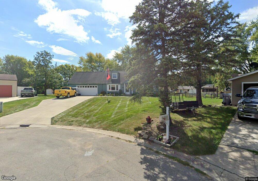
1215 Stuart Ct Cicero, IN 46034
Cicero AreaEstimated Value: $369,000 - $484,000
About This Home
This home is located at 1215 Stuart Ct, Cicero, IN 46034 and is currently estimated at $424,916, approximately $226 per square foot. 1215 Stuart Ct is a home located in Hamilton County with nearby schools including Hamilton Heights Elementary School, Hamilton Heights Middle School, and Hamilton Heights High School.
Ownership History
We collect this data history from publicly available records. To have your information removed, we recommend requesting removal directly through your county’s website.
Purchase Details
Home Values in the Area
Average Home Value in this Area
Purchase History
We collect this data history from publicly available records. To have your information removed, we recommend requesting removal directly through your county’s website.
| Date | Buyer | Sale Price | Title Company |
|---|---|---|---|
| -- | None Listed On Document |
Tax History
We collect this data history from publicly available records. To have your information removed, we recommend requesting removal directly through your county’s website.
| Year | Tax Paid | Tax Assessment Tax Assessment Total Assessment is a certain percentage of the fair market value that is determined by local assessors to be the total taxable value of land and additions on the property. | Land | Improvement |
|---|---|---|---|---|
| 2025 | $2,620 | $348,500 | $126,100 | $222,400 |
| 2024 | $2,458 | $312,500 | $126,100 | $186,400 |
| 2023 | $2,458 | $303,400 | $126,100 | $177,300 |
| 2022 | $2,779 | $303,400 | $75,000 | $228,400 |
| 2021 | $2,167 | $249,500 | $75,000 | $174,500 |
| 2020 | $1,834 | $223,000 | $75,000 | $148,000 |
| 2019 | $1,563 | $200,700 | $32,700 | $168,000 |
| 2018 | $1,583 | $200,900 | $32,700 | $168,200 |
| 2017 | $1,296 | $178,900 | $32,700 | $146,200 |
| 2016 | $1,156 | $169,600 | $32,700 | $136,900 |
| 2014 | $927 | $155,200 | $35,200 | $120,000 |
| 2013 | $927 | $158,200 | $34,900 | $123,300 |
Map
- 2360 Stringtown Pike
- 1529 Bayswater Ln
- 2513 Sheridan Ct
- 1940 Stringtown Pike
- 1940 Nantucket Dr
- 64 Hickory Ridge Cir
- 1567 Northport Dr
- 1520 Nantucket Dr
- 2628 Inlet Dr
- 1160 Nantucket Dr
- 1305 N Catamaran Cir
- 1022 Gallium Dr
- 1010 Gallium Dr
- 2830 Stringtown Pike
- 2043 Treving Dr
- 1005 Morse Landing Dr
- 8440 E 216th St
- 8440 E 216th St
- 725 Morse Landing Dr
- 8275 E 216th St
- 1217 Stuart Ct
- 2317 Lincoln Dr
- 2327 Lincoln Dr
- 1320 Waterbury Ct
- 1211 Stuart Ct
- 2240 Stringtown Pike
- 1208 Stuart Ct
- 0 Stringtown Pike Unit MBR2726993
- 2337 Lincoln Dr
- 1329 Waterbury Ct
- 1210 Stuart Ct
- 1340 Waterbury Ct
- 1269 Casco Bay Cir
- 2300 Stringtown Pike
- 1289 Casco Bay Cir
- 17A Stringtown Pike
- 2630-2 Stringtown Pike
- L17 Stringtown Pike
- 2347 Lincoln Dr
- 2177 Stringtown Pike
Ask me questions while you tour the home.