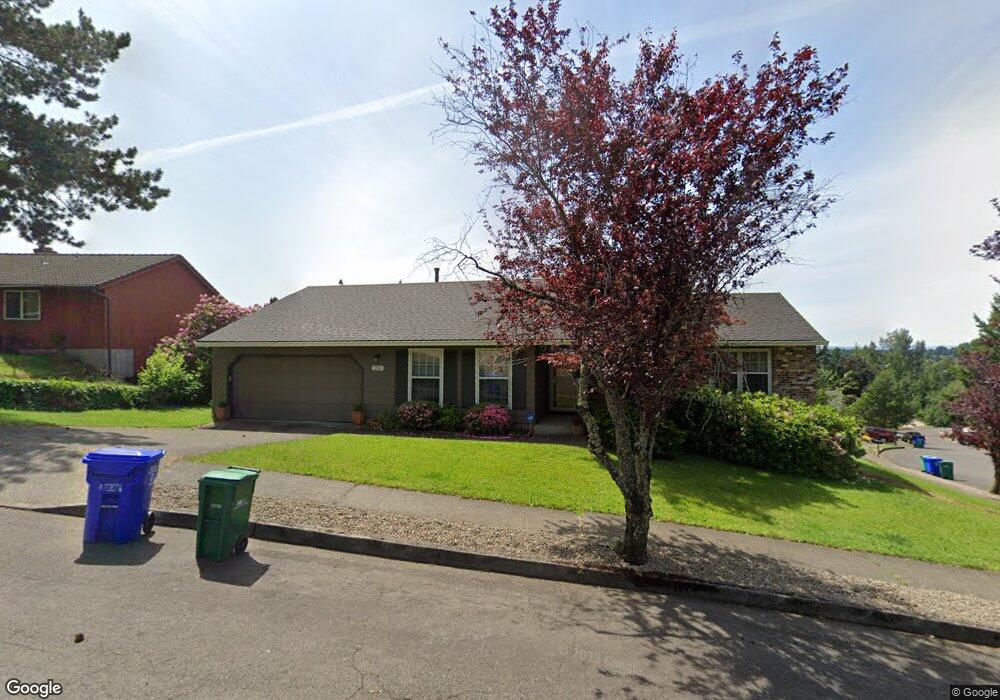
1215 SW Wallula Dr Gresham, OR 97080
Gresham Butte NeighborhoodEstimated Value: $453,000 - $486,424
3
Beds
2
Baths
1,584
Sq Ft
$297/Sq Ft
Est. Value
About This Home
This home is located at 1215 SW Wallula Dr, Gresham, OR 97080 and is currently estimated at $471,106, approximately $297 per square foot. 1215 SW Wallula Dr is a home located in Multnomah County with nearby schools including Dexter McCarty Middle School, Gresham High School, and Portland Adventist Elementary School.
Ownership History
Date
Name
Owned For
Owner Type
Purchase Details
Closed on
Nov 3, 2023
Sold by
Moyer Peggy A
Bought by
Peggy A Moyer Trust and Moyer
Current Estimated Value
Purchase Details
Closed on
Jan 29, 2007
Sold by
Pease Douglas A
Bought by
Moyer Peggy
Home Financials for this Owner
Home Financials are based on the most recent Mortgage that was taken out on this home.
Original Mortgage
$80,500
Interest Rate
6.11%
Mortgage Type
Purchase Money Mortgage
Create a Home Valuation Report for This Property
The Home Valuation Report is an in-depth analysis detailing your home's value as well as a comparison with similar homes in the area
Home Values in the Area
Average Home Value in this Area
Purchase History
| Date | Buyer | Sale Price | Title Company |
|---|---|---|---|
| Peggy A Moyer Trust | -- | None Listed On Document | |
| Moyer Peggy | $245,000 | Ticor Title Insurance Compan |
Source: Public Records
Mortgage History
| Date | Status | Borrower | Loan Amount |
|---|---|---|---|
| Previous Owner | Moyer Peggy | $80,500 |
Source: Public Records
Tax History
| Year | Tax Paid | Tax Assessment Tax Assessment Total Assessment is a certain percentage of the fair market value that is determined by local assessors to be the total taxable value of land and additions on the property. | Land | Improvement |
|---|---|---|---|---|
| 2025 | $5,983 | $294,030 | -- | -- |
| 2024 | $5,728 | $285,470 | -- | -- |
| 2023 | $5,218 | $277,160 | $0 | $0 |
| 2022 | $5,072 | $269,090 | $0 | $0 |
| 2021 | $4,945 | $261,260 | $0 | $0 |
| 2020 | $4,653 | $253,660 | $0 | $0 |
| 2019 | $4,531 | $246,280 | $0 | $0 |
| 2018 | $4,320 | $239,110 | $0 | $0 |
| 2017 | $4,145 | $232,150 | $0 | $0 |
| 2016 | $3,654 | $225,390 | $0 | $0 |
Source: Public Records
Map
Nearby Homes
- 1175 SW Chastain Dr
- 1472 SW 14th St
- 1488 SW 17th Ct Unit N
- 1488 SW 17th Ct
- 1333 SW 19th Dr
- 1829 SW 17th St
- 1859 SW Angeline Ave
- 1960 SW 13th Ct
- 1407 SW Walters Dr
- 1880 SW Heiney Rd
- 1441 SW 23rd Ct
- 1261 SW Binford Lake Pkwy
- 159 SW Florence Ave Unit 64
- 159 SW Florence Ave
- 0 SW Miller Ct Unit 470855683
- 2520 SW Towle Ave
- 1278 SW 27th Ct
- 44 SW Birdsdale Dr
- 1414 SE Beech Place
- 1963 SW Myers Place
- 1187 SW Chastain Dr
- 1355 SW Wallula Dr
- 1314 SW Chastain Ct
- 1346 SW Wallula Dr
- 1302 SW Chastain Ct
- 1204 SW Wallula Dr
- 1163 SW Chastain Dr
- 1401 SW Wallula Dr
- 1173 SW Wallula Dr
- 1166 SW Wallula Dr
- 1225 SW 14th Ct
- 1305 SW Chastain Ct
- 1425 SW 14th St
- 1413 SW 14th St
- 1141 SW Chastain Dr
- 1150 SW Chastain Dr
- 1234 SW 14th Ct
- 1417 SW Wallula Dr
- 1157 SW 10th Dr
- 1132 SW Wallula Dr
Your Personal Tour Guide
Ask me questions while you tour the home.