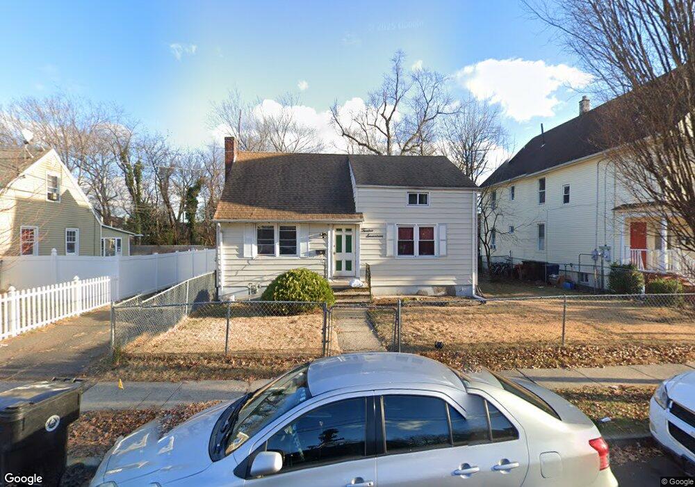
1215 W 6th St Unit 19 Plainfield, NJ 07063
Estimated Value: $292,516 - $377,000
About This Home
This home is located at 1215 W 6th St Unit 19, Plainfield, NJ 07063 and is currently estimated at $345,505, approximately $423 per square foot. 1215 W 6th St Unit 19 is a home located in Union County with nearby schools including Clinton School, Hubbard Middle School, and Plainfield High School.
Ownership History
We collect this data history from publicly available records. To have your information removed, we recommend requesting removal directly through your county’s website.
Purchase Details
Purchase Details
Purchase Details
Home Values in the Area
Average Home Value in this Area
Purchase History
We collect this data history from publicly available records. To have your information removed, we recommend requesting removal directly through your county’s website.
| Date | Buyer | Sale Price | Title Company |
|---|---|---|---|
| -- | -- | ||
| -- | None Listed On Document | ||
| $60,000 | Agent For First American Tit | ||
| -- | -- |
Tax History
We collect this data history from publicly available records. To have your information removed, we recommend requesting removal directly through your county’s website.
| Year | Tax Paid | Tax Assessment Tax Assessment Total Assessment is a certain percentage of the fair market value that is determined by local assessors to be the total taxable value of land and additions on the property. | Land | Improvement |
|---|---|---|---|---|
| 2025 | $7,527 | $86,200 | $38,200 | $48,000 |
| 2024 | $7,453 | $86,200 | $38,200 | $48,000 |
| 2023 | $7,453 | $86,200 | $38,200 | $48,000 |
| 2022 | $7,292 | $86,200 | $38,200 | $48,000 |
| 2021 | $7,228 | $86,200 | $38,200 | $48,000 |
| 2020 | $7,207 | $86,200 | $38,200 | $48,000 |
| 2019 | $7,207 | $86,200 | $38,200 | $48,000 |
| 2018 | $7,056 | $86,200 | $38,200 | $48,000 |
| 2017 | $6,884 | $86,200 | $38,200 | $48,000 |
| 2016 | $6,743 | $86,200 | $38,200 | $48,000 |
| 2015 | $6,544 | $86,200 | $38,200 | $48,000 |
| 2014 | $6,367 | $86,200 | $38,200 | $48,000 |
Map
- 509 Church Place Unit 11
- 1315 W 6th St
- 355 Bergen St
- 1028 W 5th St
- 740 Cambridge St
- 619 Monroe Ave Unit 23
- 962-64 W 6th St
- 1222 W 3rd St Unit 24
- 1145 Meister St
- 1204 W 3rd St Unit 6
- 1228 W 3rd St Unit 30
- 1236 W 3rd St
- 312 Monroe Ave Unit 14
- 1075 Sherman Ave
- 1026 W 3rd St Unit 28
- 311 Monroe Ave Unit 13
- 1230 Foster Ave
- 954 W 4th St
- 1637 S 2nd St
- 930 W 5th St Unit 32
- 1217 W 6th St
- 1221-25 W 6th St
- 1211-13 W 6th St
- 1211 W 6th St Unit 13
- 1221 W 6th St Unit 25
- 1205-09 W 6th St
- 1205 W 6th St Unit 9
- 1214 W 6th St
- 1229 W 6th St Unit 31
- 1210 W 6th St Unit 12
- 1216 W 6th St
- 1208 W 6th St
- 1218 W 6th St
- 1201 W 6th St Unit 3
- 1233 W 6th St
- 1204 W 6th St Unit 6
- 1220 W 6th St Unit 26
- 1235-37 W 6th St
- 1160 W 7th St
- 1143 W 6th St Unit 45
Ask me questions while you tour the home.