1218 Sims Bridge Rd Commerce, GA 30530
Estimated Value: $467,007 - $519,000
3
Beds
2
Baths
1,708
Sq Ft
$286/Sq Ft
Est. Value
About This Home
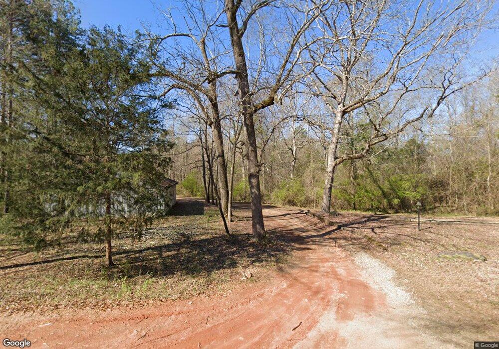
This home is located at 1218 Sims Bridge Rd, Commerce, GA 30530 and is currently estimated at $487,669, approximately $285 per square foot. 1218 Sims Bridge Rd is a home with nearby schools including Banks County Primary School, Banks County Elementary School, and Banks County Middle School.
Ownership History
Date
Name
Owned For
Owner Type
Purchase Details
Closed on
Jan 26, 2015
Sold by
Dale Lenford William
Bought by
Dale Amy Paulette
Current Estimated Value
Create a Home Valuation Report for This Property
The Home Valuation Report is an in-depth analysis detailing your home's value as well as a comparison with similar homes in the area
Home Values in the Area
Average Home Value in this Area
Purchase History
| Date | Buyer | Sale Price | Title Company |
|---|---|---|---|
| Dale Amy Paulette | -- | -- |
Source: Public Records
Tax History
| Year | Tax Paid | Tax Assessment Tax Assessment Total Assessment is a certain percentage of the fair market value that is determined by local assessors to be the total taxable value of land and additions on the property. | Land | Improvement |
|---|---|---|---|---|
| 2025 | $2,204 | $170,180 | $61,467 | $108,713 |
| 2024 | $2,204 | $159,201 | $55,878 | $103,323 |
| 2023 | $1,645 | $134,171 | $45,200 | $88,971 |
| 2022 | $1,786 | $113,954 | $37,089 | $76,865 |
| 2021 | $1,721 | $101,106 | $30,908 | $70,198 |
| 2020 | $1,661 | $93,964 | $27,596 | $66,368 |
| 2019 | $1,669 | $93,964 | $27,596 | $66,368 |
| 2018 | $1,672 | $92,958 | $27,596 | $65,362 |
| 2017 | $1,635 | $111,340 | $61,482 | $49,858 |
| 2016 | $2,659 | $107,769 | $58,918 | $48,851 |
| 2015 | $1,209 | $65,733 | $17,444 | $48,289 |
| 2014 | $1,209 | $76,217 | $27,928 | $48,289 |
| 2013 | -- | $52,072 | $27,928 | $24,144 |
Source: Public Records
Map
Nearby Homes
- 0 Freedom Ln Unit 9B
- 0 Freedom Ln Unit 18C 10380663
- 0 Freedom Ln Unit 9D
- 0 Freedom Ln Unit 9C
- 0 Freedom Ln Unit 18B 10379747
- 0 Freedom Ln Unit 9E
- 224 Hebron Rd
- 166 Freedom Ln
- 163 M t Trail
- 731 Borders Rd
- 193 Wrights Mill Ln
- 119 Gordon Rd
- 161 Meadow Lake Dr
- 2015 Highway 59
- 129 Meadow Brook Ln
- 482 Hooper Rd
- 21 Jess Ln
- 7810 Colt Ln
- 2762 Highway 326
- 153 Buckeye Trails Dr
- 1150 Sims Bridge Rd
- 1249 Sims Bridge Rd
- 1222 Sims Bridge
- 0 Hebron Rd Unit 8457126
- 0 Hebron Rd
- 0 Hebron Rd Unit CM986743
- 0 Hebron Rd Unit 10021893
- 0 Hebron Rd Unit 7609064
- 0 Hebron Rd Unit 8077187
- 0 Hebron Rd Unit 22lots 8328941
- 147 Freedom Ln
- 117 Freedom Ln
- 122 Hebron Rd
- 1090 Sims Bridge Rd
- 1147 Sims Bridge Rd
- 228 Marigold Ln
- 0 Freedom Ln Unit 14 7020975
- 0 Freedom Ln Unit 18C CM1021481
- 0 Freedom Ln Unit 18B CM1021443
- 0 Freedom Ln Unit 9E 10456784
Your Personal Tour Guide
Ask me questions while you tour the home.