1219 Normandy Rd Macon, GA 31210
Estimated Value: $254,000 - $268,000
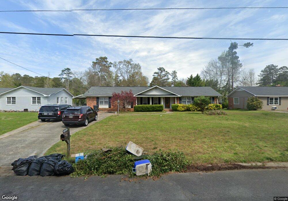
About This Home
This home is located at 1219 Normandy Rd, Macon, GA 31210 and is currently estimated at $259,468, approximately $115 per square foot. 1219 Normandy Rd is a home located in Bibb County with nearby schools including Lane Elementary School, Howard Middle School, and Howard High School.
Ownership History
We collect this data history from publicly available records. To have your information removed, we recommend requesting removal directly through your county’s website.
Purchase Details
Home Financials for this Owner
Home Financials are based on the most recent Mortgage that was taken out on this home.Purchase Details
Purchase History
We collect this data history from publicly available records. To have your information removed, we recommend requesting removal directly through your county’s website.
| Date | Buyer | Sale Price | Title Company |
|---|---|---|---|
| $158,000 | None Available | ||
| $135,000 | -- |
Mortgage History
We collect this data history from publicly available records. To have your information removed, we recommend requesting removal directly through your county’s website.
| Date | Status | Borrower | Loan Amount |
|---|---|---|---|
| Open | $158,000 |
Tax History
We collect this data history from publicly available records. To have your information removed, we recommend requesting removal directly through your county’s website.
| Year | Tax Paid | Tax Assessment Tax Assessment Total Assessment is a certain percentage of the fair market value that is determined by local assessors to be the total taxable value of land and additions on the property. | Land | Improvement |
|---|---|---|---|---|
| 2025 | $2,466 | $107,350 | $10,250 | $97,100 |
| 2024 | $2,549 | $107,350 | $10,250 | $97,100 |
| 2023 | $1,405 | $80,305 | $8,200 | $72,105 |
| 2022 | $2,601 | $82,132 | $7,821 | $74,311 |
| 2021 | $2,457 | $71,667 | $6,570 | $65,097 |
| 2020 | $2,435 | $69,727 | $6,570 | $63,157 |
| 2019 | $2,152 | $61,968 | $6,570 | $55,398 |
| 2018 | $3,143 | $56,432 | $5,944 | $50,488 |
| 2017 | $1,719 | $52,886 | $6,278 | $46,608 |
| 2016 | $1,504 | $50,462 | $6,278 | $44,184 |
| 2015 | $2,129 | $50,462 | $6,278 | $44,184 |
| 2014 | $2,679 | $53,644 | $6,976 | $46,668 |
Map
- 1114 Ousley Place
- 969 Newport Rd
- 1161 Ousley Place
- 1024 Normandy Rd
- 3678 Northside Dr
- 1339 Forest Hill Rd
- 1115 Darlington Dr
- 3640 Northside Dr
- 3622 Northside Dr
- 3602 Northside Dr
- 914 Glenbrook Rd
- 1179 Matthews Place
- 1422 Forest Hill Rd
- 843 Green Oak Terrace
- 3500 Northside Dr
- 912 Lundy Terrace
- 4070 Carrie Ct
- 567 Glencove Dr
- 681 Forest Lake Dr N
- 805 Dogwood Cir
- 1227 Normandy Rd
- 1061 Ousley Place
- 1071 Ousley Place
- 1235 Normandy Rd
- 1201 Normandy Rd
- 1047 Ousley Place
- 1220 Normandy Rd
- 1210 Normandy Rd
- 1210 Normandy Rd Unit 7
- 1228 Normandy Rd
- 1081 Ousley Place
- 1244 Newport Place
- 1037 Ousley Place
- 1247 Normandy Rd
- 1236 Normandy Rd
- 1197 Normandy Rd
- 1244 Normandy Rd
- 1244 Normandy Rd Unit H11
- 1060 Ousley Place
- 1070 Ousley Place
Ask me questions while you tour the home.