122 Avery Hill Rd Ledyard, CT 06339
Estimated Value: $410,776 - $500,000
About This Home
This home is located at 122 Avery Hill Rd, Ledyard, CT 06339 and is currently estimated at $447,694, approximately $333 per square foot. 122 Avery Hill Rd is a home located in New London County with nearby schools including Ledyard Middle School, Ledyard High School, and Academy Of St Therese.
Ownership History
We collect this data history from publicly available records. To have your information removed, we recommend requesting removal directly through your county’s website.
Purchase Details
Purchase Details
Home Values in the Area
Average Home Value in this Area
Purchase History
We collect this data history from publicly available records. To have your information removed, we recommend requesting removal directly through your county’s website.
| Date | Buyer | Sale Price | Title Company |
|---|---|---|---|
| $160,000 | -- | ||
| $45,900 | -- |
Mortgage History
We collect this data history from publicly available records. To have your information removed, we recommend requesting removal directly through your county’s website.
| Date | Status | Borrower | Loan Amount |
|---|---|---|---|
| Open | $25,000 | ||
| Open | $185,000 | ||
| Closed | $20,600 |
Tax History
We collect this data history from publicly available records. To have your information removed, we recommend requesting removal directly through your county’s website.
| Year | Tax Paid | Tax Assessment Tax Assessment Total Assessment is a certain percentage of the fair market value that is determined by local assessors to be the total taxable value of land and additions on the property. | Land | Improvement |
|---|---|---|---|---|
| 2025 | $6,791 | $182,840 | $53,270 | $129,570 |
| 2024 | $6,416 | $182,210 | $53,270 | $128,940 |
| 2023 | $6,297 | $182,210 | $53,270 | $128,940 |
| 2022 | $6,162 | $182,210 | $53,270 | $128,940 |
| 2021 | $6,122 | $182,210 | $53,270 | $128,940 |
| 2020 | $5,483 | $156,800 | $50,680 | $106,120 |
| 2019 | $5,497 | $156,800 | $50,680 | $106,120 |
| 2018 | $5,377 | $156,800 | $50,680 | $106,120 |
| 2017 | $5,102 | $156,800 | $50,680 | $106,120 |
| 2016 | $5,002 | $156,800 | $50,680 | $106,120 |
| 2015 | $4,767 | $156,800 | $50,680 | $106,120 |
| 2014 | $5,128 | $171,500 | $53,270 | $118,230 |
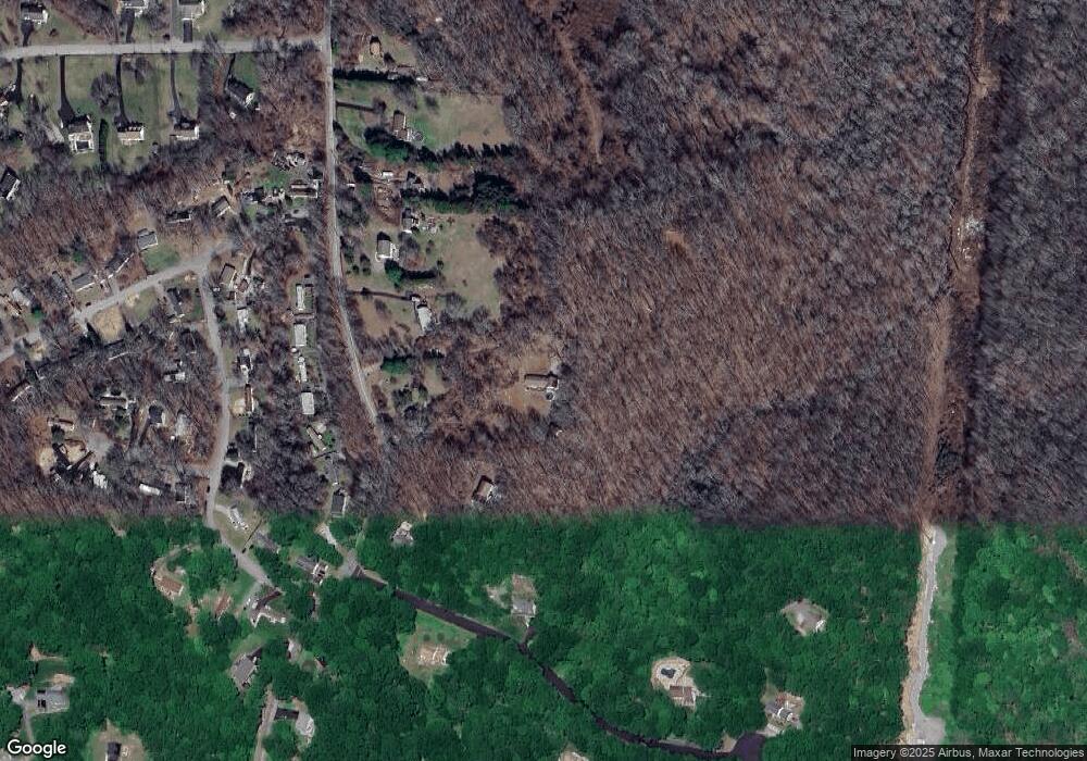
Map
- 16 Marlene Dr
- 4 Rosemarie Ct
- 5 Tuckers Run
- 27 Brewster Dr
- 20 Willow Ln
- 21 Tanager Ln
- 236 Avery Hill Rd
- 4 N Glenwoods Rd
- 3 Holdsworth Rd
- 104 Route 2a
- 43 Church Hill Rd
- 9 Stone Ct
- 3 Vinegar Hill Rd
- 0 Clarks Falls Unit 24089817
- 31 Iron St
- 52 Middle Rd
- 36 Route 2a
- 14 Abbey Rd
- 25 Coachman Pike
- 16 Abbey Rd
- 120 Avery Hill Rd
- 126 Avery Hill Rd
- 3 Oak Hills Trail
- 1 Oak Hills Trail
- 130 Avery Hill Rd
- 5 Oak Hills Trail
- 1 Naomi Drive Extension Unit LOT F
- 1 Naomi Drive Extension Unit F
- 1 Naomi Drive Extension
- 1 Naomi Drive Extension Unit A
- 134 Avery Hill Rd
- 111 Avery Hill Rd
- 14 Marlene Dr
- 1 Naomi Dr
- 12 Marlene Dr
- 109 Avery Hill Rd
- 138 Avery Hill Rd
- 10 Marlene Dr
- 2 Oak Hills Trail
- 11 Oak Hills Trail
Ask me questions while you tour the home.