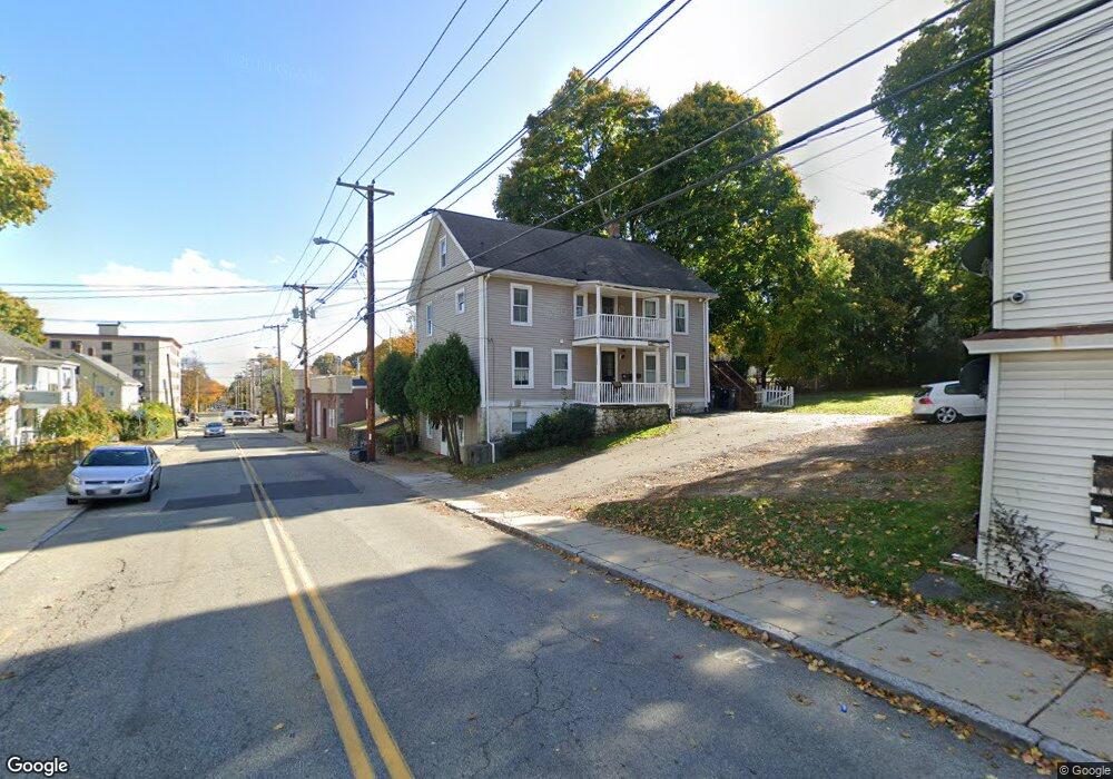
122 Broad St Marlborough, MA 01752
French Hill NeighborhoodEstimated Value: $669,000 - $798,000
6
Beds
3
Baths
1,800
Sq Ft
$422/Sq Ft
Est. Value
About This Home
This home is located at 122 Broad St, Marlborough, MA 01752 and is currently estimated at $760,292, approximately $422 per square foot. 122 Broad St is a home located in Middlesex County with nearby schools including Marlborough High School, Advanced Math & Science Academy, and New Covenant Christian School.
Ownership History
Date
Name
Owned For
Owner Type
Purchase Details
Closed on
Oct 31, 2003
Sold by
Gingras Eric A and Gingras Katie L
Bought by
Freitas Andre R and Freitas Lola
Current Estimated Value
Home Financials for this Owner
Home Financials are based on the most recent Mortgage that was taken out on this home.
Original Mortgage
$323,100
Outstanding Balance
$150,310
Interest Rate
6.05%
Mortgage Type
Purchase Money Mortgage
Estimated Equity
$609,982
Purchase Details
Closed on
May 29, 1998
Sold by
Flood Charles H and Flood Joan M
Bought by
Gingras Eric A and Kisner Katie L
Home Financials for this Owner
Home Financials are based on the most recent Mortgage that was taken out on this home.
Original Mortgage
$169,426
Interest Rate
7.12%
Mortgage Type
Purchase Money Mortgage
Create a Home Valuation Report for This Property
The Home Valuation Report is an in-depth analysis detailing your home's value as well as a comparison with similar homes in the area
Home Values in the Area
Average Home Value in this Area
Purchase History
| Date | Buyer | Sale Price | Title Company |
|---|---|---|---|
| Freitas Andre R | $359,000 | -- | |
| Gingras Eric A | $175,000 | -- |
Source: Public Records
Mortgage History
| Date | Status | Borrower | Loan Amount |
|---|---|---|---|
| Open | Freitas Andre R | $323,100 | |
| Previous Owner | Gingras Eric A | $35,000 | |
| Previous Owner | Gingras Eric A | $169,426 | |
| Previous Owner | Gingras Eric A | $165,000 |
Source: Public Records
Tax History
| Year | Tax Paid | Tax Assessment Tax Assessment Total Assessment is a certain percentage of the fair market value that is determined by local assessors to be the total taxable value of land and additions on the property. | Land | Improvement |
|---|---|---|---|---|
| 2025 | $6,393 | $648,400 | $212,100 | $436,300 |
| 2024 | $6,101 | $595,800 | $192,800 | $403,000 |
| 2023 | $6,257 | $542,200 | $155,500 | $386,700 |
| 2022 | $6,219 | $474,000 | $148,100 | $325,900 |
| 2021 | $5,934 | $430,000 | $120,600 | $309,400 |
| 2020 | $5,601 | $395,000 | $117,500 | $277,500 |
| 2019 | $5,340 | $379,500 | $115,200 | $264,300 |
| 2018 | $4,426 | $302,500 | $94,600 | $207,900 |
| 2017 | $4,296 | $280,400 | $93,100 | $187,300 |
| 2016 | $4,183 | $272,700 | $93,100 | $179,600 |
| 2015 | $3,618 | $229,600 | $95,500 | $134,100 |
Source: Public Records
Map
Nearby Homes
- 177 Chestnut St
- 30 Winter Ave
- 7 Versailles St
- 61 Broad St
- 40 Grant St
- 273 W Main St Unit B8
- 273 W Main St Unit B12
- 145 Pleasant St Unit A403
- 275 W Main St Unit 42
- 28 Beach St
- 32 Kirby St
- 287 Elm St
- 15 Manning St
- 270 Main St
- 94 Liberty St
- 27 Jefferson St Unit 105
- 27 Jefferson St Unit 204
- 272 Lincoln St Unit 301
- 272 Lincoln St Unit 302
- 272 Lincoln St Unit 102
Your Personal Tour Guide
Ask me questions while you tour the home.