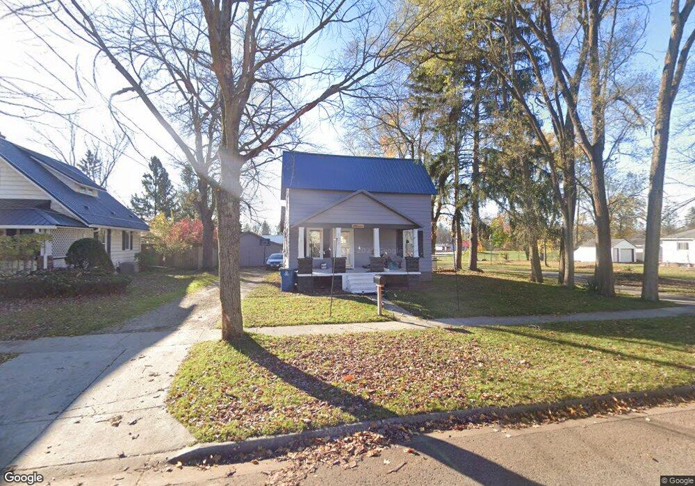
122 E Pine Sheridan Township, MI 49412
Estimated Value: $206,000 - $239,000
3
Beds
1
Bath
936
Sq Ft
$229/Sq Ft
Est. Value
About This Home
This home is located at 122 E Pine, Sheridan Township, MI 49412 and is currently estimated at $214,534, approximately $229 per square foot. 122 E Pine is a home located in Newaygo County with nearby schools including Daisy Brook Elementary School, Pathfinder Elementary School, and Quest High School.
Ownership History
Date
Name
Owned For
Owner Type
Purchase Details
Closed on
Jun 18, 2024
Sold by
Heller Investments Llc
Bought by
Osborne Jon and Osborne Rachel
Current Estimated Value
Purchase Details
Closed on
Sep 20, 2022
Sold by
Carter Ryan
Bought by
Heller Investments Llc
Purchase Details
Closed on
Aug 9, 2017
Sold by
Bixby Barbara and Bixby Archice
Bought by
Carter Bethany and Carter Ryan
Home Financials for this Owner
Home Financials are based on the most recent Mortgage that was taken out on this home.
Original Mortgage
$1
Interest Rate
4.03%
Mortgage Type
Purchase Money Mortgage
Purchase Details
Closed on
Sep 12, 2006
Sold by
Nadeau Robert J
Bought by
Bixby Archice
Purchase Details
Closed on
Jul 27, 2005
Sold by
Hill Basil
Bought by
Nadeau Robert
Create a Home Valuation Report for This Property
The Home Valuation Report is an in-depth analysis detailing your home's value as well as a comparison with similar homes in the area
Home Values in the Area
Average Home Value in this Area
Purchase History
| Date | Buyer | Sale Price | Title Company |
|---|---|---|---|
| Osborne Jon | $185,000 | -- | |
| Heller Investments Llc | $105,000 | -- | |
| Carter Bethany | $89,000 | -- | |
| Bixby Archice | $77,100 | -- | |
| Nadeau Robert | $68,000 | -- |
Source: Public Records
Mortgage History
| Date | Status | Borrower | Loan Amount |
|---|---|---|---|
| Previous Owner | Carter Bethany | $1 |
Source: Public Records
Tax History
| Year | Tax Paid | Tax Assessment Tax Assessment Total Assessment is a certain percentage of the fair market value that is determined by local assessors to be the total taxable value of land and additions on the property. | Land | Improvement |
|---|---|---|---|---|
| 2025 | $2,621 | $72,300 | $0 | $0 |
| 2024 | $32 | $63,200 | $0 | $0 |
| 2023 | $3,023 | $55,500 | $0 | $0 |
| 2022 | $1,635 | $50,000 | $0 | $0 |
| 2021 | $1,577 | $45,600 | $0 | $0 |
| 2020 | $1,555 | $45,100 | $0 | $0 |
| 2019 | $1,491 | $41,100 | $0 | $0 |
| 2018 | $1,456 | $31,100 | $0 | $0 |
| 2017 | $1,223 | $30,000 | $0 | $0 |
| 2016 | $1,123 | $28,100 | $0 | $0 |
| 2015 | -- | $26,900 | $0 | $0 |
| 2014 | -- | $25,100 | $0 | $0 |
Source: Public Records
Map
Nearby Homes
Your Personal Tour Guide
Ask me questions while you tour the home.