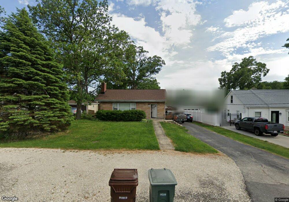
122 Forest St New Lenox, IL 60451
Estimated Value: $221,602 - $349,000
Studio
--
Bath
--
Sq Ft
8,712
Sq Ft Lot
About This Home
This home is located at 122 Forest St, New Lenox, IL 60451 and is currently estimated at $303,901. 122 Forest St is a home located in Will County with nearby schools including Oster-Oakview School, Haines Elementary School, and Lincoln Way West.
Ownership History
Date
Name
Owned For
Owner Type
Purchase Details
Closed on
Mar 30, 2001
Sold by
Johnson Annette and The Annette J Pitts Living Tru
Bought by
Schedin Mark G and Schedin Veronica A
Current Estimated Value
Home Financials for this Owner
Home Financials are based on the most recent Mortgage that was taken out on this home.
Original Mortgage
$91,500
Outstanding Balance
$33,806
Interest Rate
7.05%
Estimated Equity
$270,095
Purchase Details
Closed on
Dec 17, 1998
Sold by
Pitts Annette J and Chwaszczewski Annette
Bought by
Pitts Annette J and Annette J Pitts Living Trust
Create a Home Valuation Report for This Property
The Home Valuation Report is an in-depth analysis detailing your home's value as well as a comparison with similar homes in the area
Home Values in the Area
Average Home Value in this Area
Purchase History
| Date | Buyer | Sale Price | Title Company |
|---|---|---|---|
| Schedin Mark G | $114,500 | Chicago Title Insurance Co | |
| Pitts Annette J | -- | -- |
Source: Public Records
Mortgage History
| Date | Status | Borrower | Loan Amount |
|---|---|---|---|
| Open | Schedin Mark G | $91,500 |
Source: Public Records
Tax History
| Year | Tax Paid | Tax Assessment Tax Assessment Total Assessment is a certain percentage of the fair market value that is determined by local assessors to be the total taxable value of land and additions on the property. | Land | Improvement |
|---|---|---|---|---|
| 2024 | $5,181 | $71,837 | $27,153 | $44,684 |
| 2023 | $5,181 | $65,485 | $24,752 | $40,733 |
| 2022 | $4,701 | $60,327 | $22,802 | $37,525 |
| 2021 | $4,447 | $56,736 | $21,445 | $35,291 |
| 2020 | $4,310 | $54,712 | $20,680 | $34,032 |
| 2019 | $4,117 | $53,016 | $20,039 | $32,977 |
| 2018 | $4,013 | $51,188 | $19,348 | $31,840 |
| 2017 | $3,805 | $49,717 | $18,792 | $30,925 |
| 2016 | $3,686 | $48,386 | $18,289 | $30,097 |
| 2015 | $3,557 | $46,863 | $17,713 | $29,150 |
| 2014 | $3,557 | $46,284 | $17,494 | $28,790 |
| 2013 | $3,557 | $46,908 | $17,730 | $29,178 |
Source: Public Records
Map
Nearby Homes
- 209 Linden Oaks Ln
- 380 N Cedar Rd
- 326 Old Hickory Rd
- 211 Manor Dr Unit 1
- 213 Manor Dr Unit 2
- 404 Livingston Dr
- Lot 207 N Cedar Rd
- 324 Gina Dr Unit 2
- 625 Crescenzo Ct Unit B
- 328 E Lincoln Hwy
- Vacant W Maple St
- 289 Osage Ln
- 1787 Lakes Park Dr
- 3126 Timberlake Ave
- 1777 Lakes Park Dr
- 3171 Waterwood Ln
- 309 Osage Ln
- 2970 Timberlake Ave
- 3000 Timberlake Ave
- 3003 Timberlake Ave
Your Personal Tour Guide
Ask me questions while you tour the home.