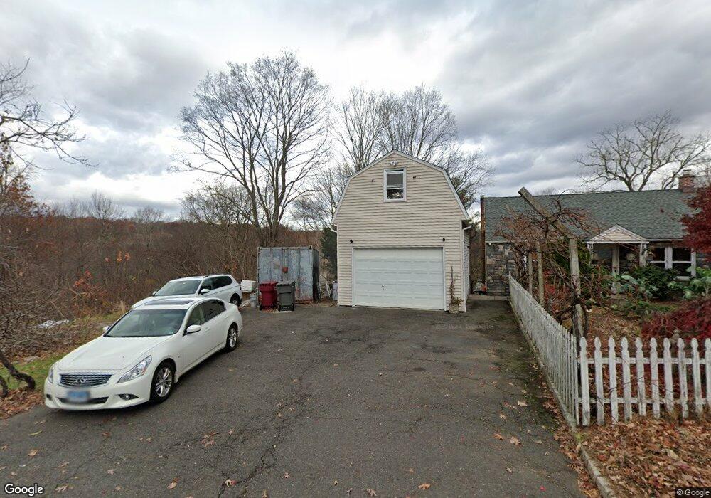
122 Maple Hill Rd Naugatuck, CT 06770
Estimated Value: $389,000 - $407,000
3
Beds
3
Baths
1,280
Sq Ft
$313/Sq Ft
Est. Value
About This Home
This home is located at 122 Maple Hill Rd, Naugatuck, CT 06770 and is currently estimated at $400,773, approximately $313 per square foot. 122 Maple Hill Rd is a home located in New Haven County with nearby schools including City Hill Middle School and Naugatuck High School.
Ownership History
Date
Name
Owned For
Owner Type
Purchase Details
Closed on
May 30, 2008
Sold by
Mcdougall Edwin and Mcdougal Keyan
Bought by
Cable Scott and Cable Lorraine
Current Estimated Value
Home Financials for this Owner
Home Financials are based on the most recent Mortgage that was taken out on this home.
Original Mortgage
$217,007
Interest Rate
5.91%
Mortgage Type
Purchase Money Mortgage
Purchase Details
Closed on
Sep 7, 2000
Sold by
Matos William and Boccuzzi Karen
Bought by
Mcdougal Edwin and Sullivan Kellyann
Create a Home Valuation Report for This Property
The Home Valuation Report is an in-depth analysis detailing your home's value as well as a comparison with similar homes in the area
Home Values in the Area
Average Home Value in this Area
Purchase History
| Date | Buyer | Sale Price | Title Company |
|---|---|---|---|
| Cable Scott | $263,800 | -- | |
| Mcdougal Edwin | $176,900 | -- |
Source: Public Records
Mortgage History
| Date | Status | Borrower | Loan Amount |
|---|---|---|---|
| Open | Mcdougal Edwin | $221,190 | |
| Closed | Mcdougal Edwin | $217,007 | |
| Previous Owner | Mcdougal Edwin | $73,000 | |
| Previous Owner | Mcdougal Edwin | $256,500 |
Source: Public Records
Tax History
| Year | Tax Paid | Tax Assessment Tax Assessment Total Assessment is a certain percentage of the fair market value that is determined by local assessors to be the total taxable value of land and additions on the property. | Land | Improvement |
|---|---|---|---|---|
| 2025 | $8,153 | $204,890 | $39,620 | $165,270 |
| 2024 | $8,562 | $204,890 | $39,620 | $165,270 |
| 2023 | $9,169 | $204,890 | $39,620 | $165,270 |
| 2022 | $7,719 | $161,660 | $42,020 | $119,640 |
| 2021 | $7,719 | $161,660 | $42,020 | $119,640 |
| 2020 | $7,719 | $161,660 | $42,020 | $119,640 |
| 2019 | $7,638 | $161,660 | $42,020 | $119,640 |
| 2018 | $7,314 | $151,280 | $53,430 | $97,850 |
| 2017 | $7,345 | $151,280 | $53,430 | $97,850 |
| 2016 | $7,212 | $151,280 | $53,430 | $97,850 |
| 2015 | $6,894 | $151,280 | $53,430 | $97,850 |
| 2014 | $6,817 | $151,280 | $53,430 | $97,850 |
| 2012 | $6,650 | $198,220 | $67,120 | $131,100 |
Source: Public Records
Map
Nearby Homes
- 26 Geraldine Dr
- 217 E Waterbury Rd
- 76 Clark Hill Rd
- 18 Olivia Ln
- 25 Tyler Hill Rd
- 35 Monahan Ln
- 36 Longview Terrace
- 125 Salem Rd
- 111 Wooster St Unit 1C
- 22 Crestwood Dr
- 51 Brook St Unit 6A
- 51 Brook St Unit 3B
- 97 Morning Mist Rd
- 89 Alma St
- 56 Morning Mist Rd
- 463 Mulberry St
- 22 Neagle St
- 119 Prospect St
- 163 City Hill St
- 32 Stanley St
- 132 Maple Hill Rd
- 140 Maple Hill Rd
- 128 Maple Hill Rd
- 28 Grickis Ln
- 20 Grickis Ln
- 38 Grickis Ln
- 150 Maple Hill Rd
- 50 Maple Hill Rd
- 46 Grickis Ln
- 129 Maple Hill Rd
- 23 Grickis Ln
- 37 Grickis Ln
- 56 Grickis Ln
- 154 Maple Hill Rd
- 45 Grickis Ln
- 680 Wooster St
- 46 Maple Hill Rd
- 158 Maple Hill Rd
- 137 Maple Hill Rd
- 153 Maple Hill Rd
Your Personal Tour Guide
Ask me questions while you tour the home.