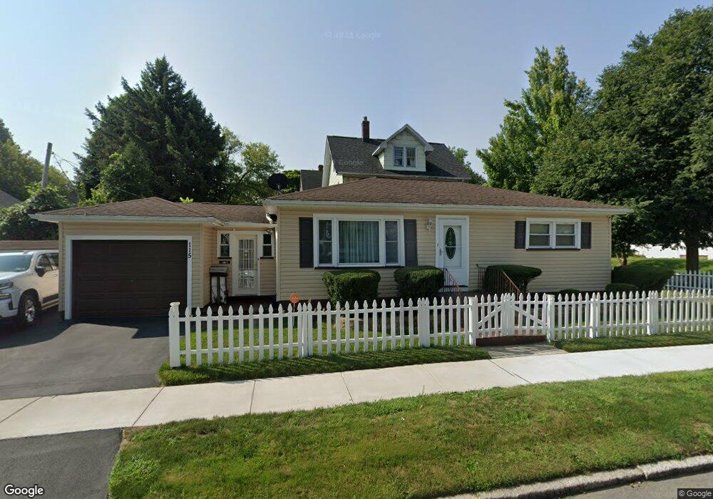
122 Mitchell St Rochester, NY 14621
Northeast Rochester NeighborhoodEstimated Value: $108,000 - $126,000
2
Beds
1
Bath
900
Sq Ft
$133/Sq Ft
Est. Value
About This Home
This home is located at 122 Mitchell St, Rochester, NY 14621 and is currently estimated at $119,903, approximately $133 per square foot. 122 Mitchell St is a home located in Monroe County with nearby schools including Mary McLeod Bethune School No. 45, School 50-Helen Barrett Montgomery, and John James Audubon School No. 33.
Ownership History
Date
Name
Owned For
Owner Type
Purchase Details
Closed on
Jan 16, 2004
Sold by
Rodriguez Ramon L
Bought by
Graham Betty Jean
Current Estimated Value
Purchase Details
Closed on
Sep 15, 2003
Sold by
Citifinancial Mtg Co Inc
Bought by
Rodriguez Ramon L and Rodriguez Gladys
Purchase Details
Closed on
Jun 4, 2003
Sold by
Michael Ballard and Michael Lorrie
Bought by
Citifinancial Mtg Co Inc
Purchase Details
Closed on
Feb 14, 1996
Sold by
Gelo Donald P
Bought by
Ballard Michael and Ballard Lorrie
Create a Home Valuation Report for This Property
The Home Valuation Report is an in-depth analysis detailing your home's value as well as a comparison with similar homes in the area
Home Values in the Area
Average Home Value in this Area
Purchase History
| Date | Buyer | Sale Price | Title Company |
|---|---|---|---|
| Graham Betty Jean | $46,500 | -- | |
| Rodriguez Ramon L | $22,000 | Michael Santareillo | |
| Citifinancial Mtg Co Inc | $51,495 | -- | |
| Ballard Michael | $45,000 | -- |
Source: Public Records
Tax History
| Year | Tax Paid | Tax Assessment Tax Assessment Total Assessment is a certain percentage of the fair market value that is determined by local assessors to be the total taxable value of land and additions on the property. | Land | Improvement |
|---|---|---|---|---|
| 2025 | $871 | $89,700 | $8,300 | $81,400 |
| 2024 | $871 | $89,700 | $8,300 | $81,400 |
| 2023 | $710 | $50,000 | $3,800 | $46,200 |
| 2022 | $664 | $50,000 | $3,800 | $46,200 |
| 2021 | $665 | $50,000 | $3,800 | $46,200 |
| 2020 | $612 | $50,000 | $3,800 | $46,200 |
| 2019 | $584 | $41,500 | $3,800 | $37,700 |
| 2018 | $1,209 | $41,500 | $3,800 | $37,700 |
| 2017 | $0 | $41,500 | $3,800 | $37,700 |
| 2016 | $584 | $40,000 | $3,800 | $36,200 |
| 2015 | $1,223 | $42,800 | $3,800 | $39,000 |
| 2014 | $1,223 | $42,800 | $3,800 | $39,000 |
Source: Public Records
Map
Nearby Homes
- 63 Dickinson St
- 144 Dickinson St
- 75 Delamaine Dr
- 1123 Portland Ave
- 206 Mohawk St
- 1005 Portland Ave
- 116 Barberry Terrace
- 115 Barberry Terrace
- 1214 Portland Ave
- 62 Sylvester St
- 416 Roycroft Dr
- 328 Durnan St
- 343 Durnan St
- 77 Jackson St
- 332 Carter St
- 63 Manchester St
- 110 Holbrooke St
- 1563 Norton St
- 104 Midland Ave
- 56 Northlane Dr
- 115 Turpin St
- 116 Mitchell St
- 105 Turpin St
- 110 Mitchell St
- 132 Mitchell St
- 101 Turpin St
- 104 Mitchell St
- 138 Mitchell St
- 106 Turpin St
- 97 Turpin St
- 106 Furlong St
- 135 Turpin St
- 100 Turpin St Unit 1-Right Side
- 100 Turpin St Unit 102
- 100 Turpin St
- 100 Mitchell St
- 115 Mitchell St
- 102 Furlong St
- 144 Mitchell St
- 91 Turpin St
Your Personal Tour Guide
Ask me questions while you tour the home.