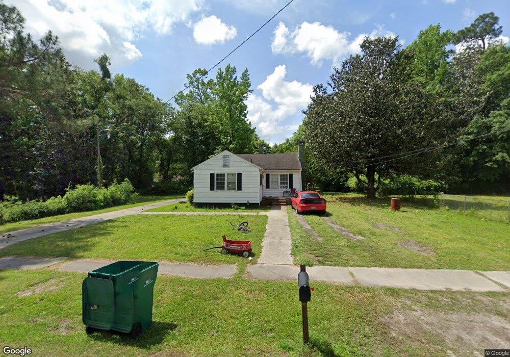
122 Nelson Cir Manning, SC 29102
Estimated Value: $36,000 - $154,000
3
Beds
2
Baths
1,200
Sq Ft
$84/Sq Ft
Est. Value
About This Home
This home is located at 122 Nelson Cir, Manning, SC 29102 and is currently estimated at $101,390, approximately $84 per square foot. 122 Nelson Cir is a home located in Clarendon County with nearby schools including Laurence Manning Academy.
Ownership History
Date
Name
Owned For
Owner Type
Purchase Details
Closed on
Jun 30, 2021
Sold by
Egr Llc
Bought by
Stokes Management Llc
Current Estimated Value
Purchase Details
Closed on
Dec 4, 2013
Sold by
Joye Ronald M
Bought by
Gibbons E G
Purchase Details
Closed on
Dec 3, 2013
Sold by
Felkel Daniel C and Kingston Jonathan P
Bought by
Wells Fargo Bank Na
Purchase Details
Closed on
Jul 8, 2009
Sold by
Kingston Jonathan P
Bought by
Felkel Daniel C
Home Financials for this Owner
Home Financials are based on the most recent Mortgage that was taken out on this home.
Original Mortgage
$54,003
Interest Rate
5.37%
Mortgage Type
FHA
Purchase Details
Closed on
Dec 29, 2006
Sold by
Federal Home Loan Mortgage Corporation
Bought by
Kingston Jonathan P
Create a Home Valuation Report for This Property
The Home Valuation Report is an in-depth analysis detailing your home's value as well as a comparison with similar homes in the area
Home Values in the Area
Average Home Value in this Area
Purchase History
| Date | Buyer | Sale Price | Title Company |
|---|---|---|---|
| Stokes Management Llc | $95,000 | None Available | |
| Gibbons E G | $27,500 | None Available | |
| Wells Fargo Bank Na | $17,700 | None Available | |
| Felkel Daniel C | $55,000 | None Available | |
| Kingston Jonathan P | -- | None Available |
Source: Public Records
Mortgage History
| Date | Status | Borrower | Loan Amount |
|---|---|---|---|
| Previous Owner | Felkel Daniel C | $54,003 |
Source: Public Records
Tax History
| Year | Tax Paid | Tax Assessment Tax Assessment Total Assessment is a certain percentage of the fair market value that is determined by local assessors to be the total taxable value of land and additions on the property. | Land | Improvement |
|---|---|---|---|---|
| 2025 | $1,686 | $3,132 | $900 | $2,232 |
| 2024 | $1,686 | $3,132 | $900 | $2,232 |
| 2023 | $1,637 | $3,132 | $900 | $2,232 |
| 2022 | $2,897 | $5,700 | $900 | $4,800 |
| 2020 | $1,264 | $2,664 | $0 | $0 |
| 2019 | $1,226 | $2,664 | $0 | $0 |
| 2018 | $1,203 | $2,664 | $0 | $0 |
| 2017 | $1,189 | $2,664 | $0 | $0 |
| 2016 | $1,184 | $2,664 | $0 | $0 |
| 2015 | $1,204 | $2,844 | $420 | $2,424 |
| 2014 | $1,197 | $2,844 | $420 | $2,424 |
| 2013 | -- | $2,772 | $420 | $2,352 |
Source: Public Records
Map
Nearby Homes
- 138 Nelson Cir
- 202 E Huggins St
- 5301 Cypress Pointe #D301
- 225 Reardon St
- 200 W Boyce St
- 0 Dyson St
- TBD S Carolina 260
- 101 Sumter St
- 227 N Church St
- 126 Hillcrest St
- 408 Toccoa Dr
- 250 Dyson St
- 610 Gib Dr
- 406 Thames St
- 416 Thames St
- 1121 Mulligan Dr
- 1107 Mulligan Dr
- 1063 Birdie Ct
- 1162 Mulligan Dr
- 1022 Mulligan Dr
Your Personal Tour Guide
Ask me questions while you tour the home.