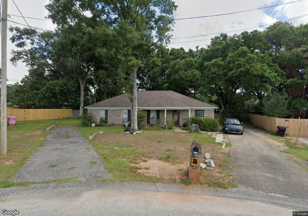
1220 Cypress Ct Mobile, AL 36695
Baker NeighborhoodEstimated Value: $209,704 - $254,000
About This Home
This home is located at 1220 Cypress Ct, Mobile, AL 36695 and is currently estimated at $236,676, approximately $127 per square foot. 1220 Cypress Ct is a home located in Mobile County with nearby schools including Elsie Collier Elementary School and Bernice J Causey Middle School.
Ownership History
We collect this data history from publicly available records. To have your information removed, we recommend requesting removal directly through your county’s website.
Purchase Details
Home Financials for this Owner
Home Financials are based on the most recent Mortgage that was taken out on this home.Home Values in the Area
Average Home Value in this Area
Purchase History
We collect this data history from publicly available records. To have your information removed, we recommend requesting removal directly through your county’s website.
| Date | Buyer | Sale Price | Title Company |
|---|---|---|---|
| -- | -- |
Mortgage History
We collect this data history from publicly available records. To have your information removed, we recommend requesting removal directly through your county’s website.
| Date | Status | Borrower | Loan Amount |
|---|---|---|---|
| Open | $106,939 | ||
| Closed | $11,000 | ||
| Closed | $90,420 | ||
| Closed | $89,854 |
Tax History
We collect this data history from publicly available records. To have your information removed, we recommend requesting removal directly through your county’s website.
| Year | Tax Paid | Tax Assessment Tax Assessment Total Assessment is a certain percentage of the fair market value that is determined by local assessors to be the total taxable value of land and additions on the property. | Land | Improvement |
|---|---|---|---|---|
| 2025 | $860 | $17,730 | $4,000 | $13,730 |
| 2024 | $860 | $16,520 | $4,000 | $12,520 |
| 2023 | $804 | $15,510 | $4,000 | $11,510 |
| 2022 | $602 | $13,790 | $4,000 | $9,790 |
| 2021 | $594 | $13,600 | $4,000 | $9,600 |
| 2020 | $599 | $13,730 | $4,000 | $9,730 |
| 2019 | $596 | $13,670 | $4,000 | $9,670 |
| 2018 | $603 | $13,820 | $0 | $0 |
| 2017 | $638 | $13,100 | $0 | $0 |
| 2016 | $545 | $12,620 | $0 | $0 |
| 2013 | $587 | $12,640 | $0 | $0 |
Map
- 9470 Oak Forrest Dr
- 9355 New Neck Rd
- 0 New Neck Rd Unit 387066
- 9470 Burnt Ash Dr
- 11905 Airport Blvd
- 11905 Airport Blvd
- 9660 Trailwood Dr S
- 0 Creek Ct
- 0 Twelve Oaks Dr Unit 7776397
- 0 Twelve Oaks Dr Unit 397061
- 11849 Airport Blvd
- 1145 Dominion Dr E
- 0 Hampton Ct
- 653 Begeman Rd
- 9205 Redberry Dr
- 10023 Springfield Ct
- 3943 Ohara Dr
- 970 Hamilton Bridges Dr W
- 1306 Summerchase Ct
- 9775 Maxwell Run
- 1230 Cypress Ct
- 1221 Cypress Ct
- 9405 Burnt Tree Dr
- 1171 Smokerise Dr
- 9395 Burnt Tree Dr
- 1181 Smokerise Dr
- 9415 Burnt Tree Dr
- 9391 Burnt Tree Dr
- 1231 Cypress Ct
- 9425 Burnt Tree Dr
- 1240 Cypress Ct
- 1191 Smokerise Dr
- 9381 Burnt Tree Dr Unit 3
- 9381 Burnt Tree Dr
- 1250 Palmetto Ct
- 1241 Cypress Ct
- 1201 Smokerise Dr
- 1250 Cypress Ct
- 1240 Palmetto Ct
- 1240 Palmetto Ct Unit 3
Ask me questions while you tour the home.