1220 Hasp Way Lafayette, IN 47905
Estimated Value: $353,054 - $386,000
About This Home
This home is located at 1220 Hasp Way, Lafayette, IN 47905 and is currently estimated at $374,514, approximately $214 per square foot. 1220 Hasp Way is a home located in Tippecanoe County with nearby schools including Hershey Elementary School, East Tipp Middle School, and William Henry Harrison High School.
Ownership History
We collect this data history from publicly available records. To have your information removed, we recommend requesting removal directly through your county’s website.
Purchase Details
Home Financials for this Owner
Home Financials are based on the most recent Mortgage that was taken out on this home.Purchase Details
Home Financials for this Owner
Home Financials are based on the most recent Mortgage that was taken out on this home.Purchase Details
Home Financials for this Owner
Home Financials are based on the most recent Mortgage that was taken out on this home.Purchase Details
Home Financials for this Owner
Home Financials are based on the most recent Mortgage that was taken out on this home.Purchase History
We collect this data history from publicly available records. To have your information removed, we recommend requesting removal directly through your county’s website.
| Date | Buyer | Sale Price | Title Company |
|---|---|---|---|
| -- | None Available | ||
| -- | -- | ||
| -- | -- | ||
| -- | -- |
Mortgage History
We collect this data history from publicly available records. To have your information removed, we recommend requesting removal directly through your county’s website.
| Date | Status | Borrower | Loan Amount |
|---|---|---|---|
| Open | $152,000 | ||
| Previous Owner | $158,950 | ||
| Previous Owner | $147,600 |
Tax History
We collect this data history from publicly available records. To have your information removed, we recommend requesting removal directly through your county’s website.
| Year | Tax Paid | Tax Assessment Tax Assessment Total Assessment is a certain percentage of the fair market value that is determined by local assessors to be the total taxable value of land and additions on the property. | Land | Improvement |
|---|---|---|---|---|
| 2025 | $1,524 | $289,400 | $44,800 | $244,600 |
| 2024 | $1,524 | $273,400 | $44,800 | $228,600 |
| 2023 | $1,299 | $255,500 | $44,800 | $210,700 |
| 2022 | $1,140 | $216,300 | $44,800 | $171,500 |
| 2021 | $1,046 | $204,700 | $44,800 | $159,900 |
| 2020 | $866 | $186,700 | $33,800 | $152,900 |
| 2019 | $814 | $180,900 | $33,800 | $147,100 |
| 2018 | $738 | $173,900 | $33,800 | $140,100 |
| 2017 | $724 | $172,200 | $33,800 | $138,400 |
| 2016 | $989 | $167,500 | $33,800 | $133,700 |
| 2014 | $950 | $163,600 | $33,800 | $129,800 |
| 2013 | $1,001 | $162,200 | $33,800 | $128,400 |
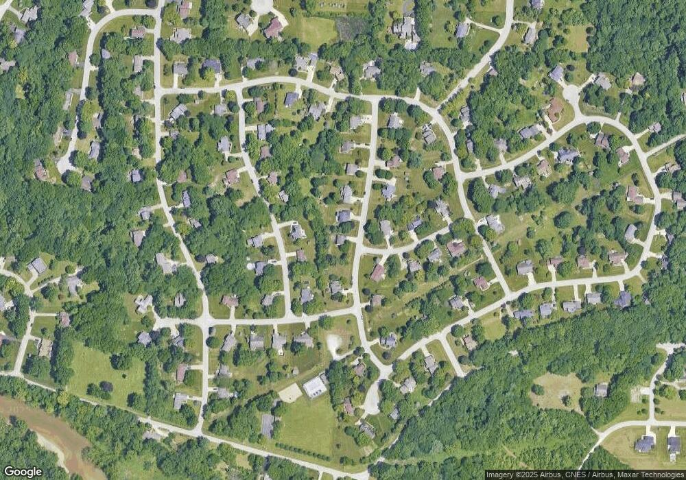
Map
- 4700 Foxmoor Ct
- 818 Emerald Dr
- 525 Shady Creek Dr
- 25 Excalibur Ct
- - Santanna Dr
- 0 Santanna Dr
- 1815 Foxmoor Ln
- 100 Foxwood Ct
- 4427 E 200 N
- 815 Shady Creek Dr
- 836 Foxwood Dr
- 4664 Forthrail Dr
- 60 Bennington Place
- 1305 Castle Dr
- 1128 Westridge Cir
- 3900 Monitor Mill Dr
- 2280 Bunchberry Ct
- 2067 N 400 E
- 2172 Foxmoor Ln
- 3909 Peters Mill Dr
Ask me questions while you tour the home.