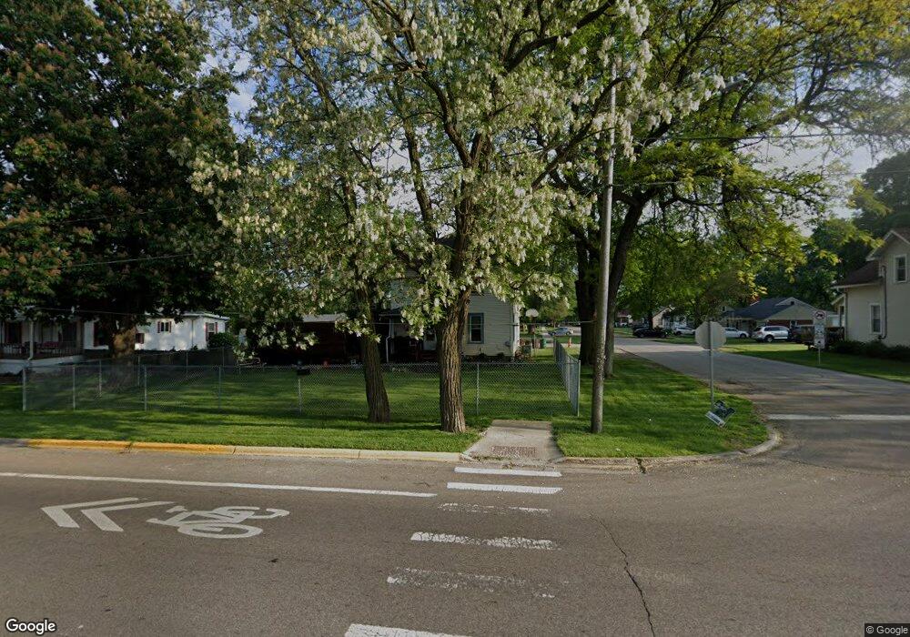
1220 Prairie St Aurora, IL 60506
University Neighbors NeighborhoodEstimated Value: $275,769 - $300,000
About This Home
This home is located at 1220 Prairie St, Aurora, IL 60506 and is currently estimated at $291,442, approximately $252 per square foot. 1220 Prairie St is a home located in Kane County with nearby schools including Freeman Elementary School, Washington Middle School, and West Aurora High School.
Ownership History
We collect this data history from publicly available records. To have your information removed, we recommend requesting removal directly through your county’s website.
Purchase Details
Home Financials for this Owner
Home Financials are based on the most recent Mortgage that was taken out on this home.Purchase Details
Home Values in the Area
Average Home Value in this Area
Purchase History
We collect this data history from publicly available records. To have your information removed, we recommend requesting removal directly through your county’s website.
| Date | Buyer | Sale Price | Title Company |
|---|---|---|---|
| $105,000 | Chicago Title Insurance Co | ||
| -- | -- |
Mortgage History
We collect this data history from publicly available records. To have your information removed, we recommend requesting removal directly through your county’s website.
| Date | Status | Borrower | Loan Amount |
|---|---|---|---|
| Open | $75,000 |
Tax History
We collect this data history from publicly available records. To have your information removed, we recommend requesting removal directly through your county’s website.
| Year | Tax Paid | Tax Assessment Tax Assessment Total Assessment is a certain percentage of the fair market value that is determined by local assessors to be the total taxable value of land and additions on the property. | Land | Improvement |
|---|---|---|---|---|
| 2024 | $3,865 | $66,499 | $7,496 | $59,003 |
| 2023 | $3,675 | $59,417 | $6,698 | $52,719 |
| 2022 | $3,557 | $54,212 | $6,111 | $48,101 |
| 2021 | $3,338 | $49,915 | $5,689 | $44,226 |
| 2020 | $3,147 | $46,363 | $5,284 | $41,079 |
| 2019 | $3,027 | $42,957 | $4,896 | $38,061 |
| 2018 | $2,873 | $40,073 | $4,529 | $35,544 |
| 2017 | $2,667 | $36,648 | $4,173 | $32,475 |
| 2016 | $2,394 | $32,537 | $3,974 | $28,563 |
| 2015 | -- | $32,897 | $3,417 | $29,480 |
| 2014 | -- | $33,518 | $3,140 | $30,378 |
| 2013 | -- | $34,039 | $3,095 | $30,944 |
Map
- 512 S Calumet Ave
- 1350 Prairie St
- 241 Le Grande Blvd
- 428 Ingleside Ave
- 321 Ingleside Ave
- 508 S Elmwood Dr
- 216 S Commonwealth Ave
- 209 S Commonwealth Ave
- 408 S Elmwood Dr
- 332 S Elmwood Dr
- 214 S Fordham Ave
- 316 S Elmwood Dr
- 144 S Commonwealth Ave
- 315 S Westlawn Ave
- 120-122 S Commonwealth Ave
- 937 Montgomery Ave
- 1421 Garfield Ave
- 1205 W Downer Place
- 847 Bowditch Ave
- 625 S Lake St
- 1214 Prairie St
- 500 S Gladstone Ave
- 1300 Prairie St
- 1210 Prairie St
- 502 S Gladstone Ave
- 1312 Prairie St
- 444 S Gladstone Ave
- 501 S Gladstone Ave
- 504 S Gladstone Ave
- 1206 Prairie St
- 440 S Gladstone Ave
- 503 S Gladstone Ave
- 1314 Prairie St
- 506 S Gladstone Ave
- 1205 Prairie St
- 1200 Prairie St
- 436 S Gladstone Ave
- 505 S Gladstone Ave
- 530 S Gladstone Ave
- 441 Le Grande Blvd
Ask me questions while you tour the home.