1221 Beard St Salisbury, NC 28144
Estimated Value: $224,849 - $267,000
About This Home
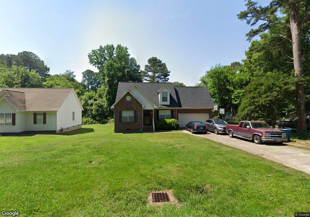
This home is located at 1221 Beard St, Salisbury, NC 28144 and is currently estimated at $248,962, approximately $183 per square foot. 1221 Beard St is a home located in Rowan County with nearby schools including E Hanford Dole Elementary School, North Rowan Middle School, and North Rowan High School.
Ownership History
We collect this data history from publicly available records. To have your information removed, we recommend requesting removal directly through your county’s website.
Purchase Details
Home Financials for this Owner
Home Financials are based on the most recent Mortgage that was taken out on this home.Purchase Details
Home Values in the Area
Average Home Value in this Area
Purchase History
We collect this data history from publicly available records. To have your information removed, we recommend requesting removal directly through your county’s website.
| Date | Buyer | Sale Price | Title Company |
|---|---|---|---|
| $117,000 | -- | ||
| $794,000 | -- |
Mortgage History
We collect this data history from publicly available records. To have your information removed, we recommend requesting removal directly through your county’s website.
| Date | Status | Borrower | Loan Amount |
|---|---|---|---|
| Open | $105,210 |
Tax History
We collect this data history from publicly available records. To have your information removed, we recommend requesting removal directly through your county’s website.
| Year | Tax Paid | Tax Assessment Tax Assessment Total Assessment is a certain percentage of the fair market value that is determined by local assessors to be the total taxable value of land and additions on the property. | Land | Improvement |
|---|---|---|---|---|
| 2025 | $2,201 | $184,042 | $17,710 | $166,332 |
| 2024 | $2,201 | $184,042 | $17,710 | $166,332 |
| 2023 | $2,201 | $184,042 | $17,710 | $166,332 |
| 2022 | $1,482 | $107,581 | $14,630 | $92,951 |
| 2021 | $1,482 | $107,581 | $14,630 | $92,951 |
| 2020 | $1,482 | $107,581 | $14,630 | $92,951 |
| 2019 | $1,482 | $107,581 | $14,630 | $92,951 |
| 2018 | $1,277 | $93,993 | $14,630 | $79,363 |
| 2017 | $1,270 | $93,993 | $14,630 | $79,363 |
| 2016 | $1,236 | $93,993 | $14,630 | $79,363 |
| 2015 | $1,243 | $93,993 | $14,630 | $79,363 |
| 2014 | $1,228 | $93,993 | $14,630 | $79,363 |
Map
- 521 Bringle Ferry Rd
- 1038 Grady St
- 1270 N Shaver St
- 1280 N Shaver St
- 501 E Lafayette St
- 1129 Grady St
- 1134 Grady St
- 1210 Grady St
- 224 E Steele St
- 118 E Miller St
- 115 E Steele St
- 113 E Miller St
- 828 Park Ave
- 1008 N Main St
- 922 N Main St
- 507 Park Ave
- Lot 1 W 11th St
- 808 N Main St
- 000 Trexler St Unit 8
- 000 Trexler St Unit 9
Ask me questions while you tour the home.