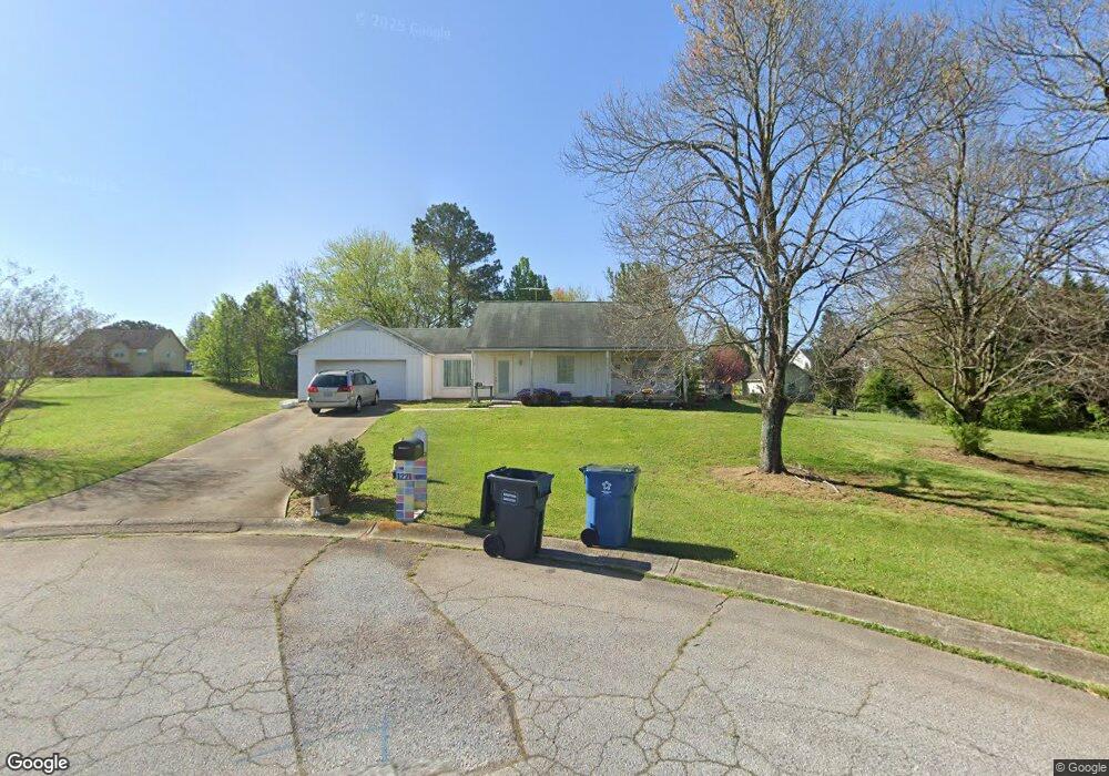
1221 Cabots Ln Unit 1 Auburn, GA 30011
Estimated Value: $285,763 - $322,000
3
Beds
2
Baths
1,266
Sq Ft
$238/Sq Ft
Est. Value
About This Home
This home is located at 1221 Cabots Ln Unit 1, Auburn, GA 30011 and is currently estimated at $301,941, approximately $238 per square foot. 1221 Cabots Ln Unit 1 is a home located in Barrow County with nearby schools including Auburn Elementary School, Westside Middle School, and Apalachee High School.
Ownership History
Date
Name
Owned For
Owner Type
Purchase Details
Closed on
Jul 10, 1998
Sold by
Roebuck Jarrett C and Roebuck Casey L
Bought by
Herring Johnny R
Current Estimated Value
Home Financials for this Owner
Home Financials are based on the most recent Mortgage that was taken out on this home.
Original Mortgage
$92,163
Outstanding Balance
$17,373
Interest Rate
7.02%
Mortgage Type
New Conventional
Estimated Equity
$284,568
Purchase Details
Closed on
Nov 3, 1992
Bought by
Roebuck Jarrett Chad
Create a Home Valuation Report for This Property
The Home Valuation Report is an in-depth analysis detailing your home's value as well as a comparison with similar homes in the area
Home Values in the Area
Average Home Value in this Area
Purchase History
| Date | Buyer | Sale Price | Title Company |
|---|---|---|---|
| Herring Johnny R | $92,200 | -- | |
| Roebuck Jarrett Chad | $65,000 | -- |
Source: Public Records
Mortgage History
| Date | Status | Borrower | Loan Amount |
|---|---|---|---|
| Open | Herring Johnny R | $92,163 |
Source: Public Records
Tax History
| Year | Tax Paid | Tax Assessment Tax Assessment Total Assessment is a certain percentage of the fair market value that is determined by local assessors to be the total taxable value of land and additions on the property. | Land | Improvement |
|---|---|---|---|---|
| 2025 | $2,223 | $87,040 | $20,000 | $67,040 |
| 2024 | $2,213 | $85,174 | $20,000 | $65,174 |
| 2023 | $989 | $66,667 | $20,000 | $46,667 |
| 2022 | $1,238 | $48,788 | $12,800 | $35,988 |
| 2021 | $1,310 | $48,788 | $12,800 | $35,988 |
| 2020 | $1,309 | $48,788 | $12,800 | $35,988 |
| 2019 | $1,326 | $48,788 | $12,800 | $35,988 |
| 2018 | $1,180 | $42,940 | $9,800 | $33,140 |
| 2017 | $202 | $36,938 | $9,800 | $27,138 |
| 2016 | $939 | $33,760 | $9,800 | $23,960 |
| 2015 | $960 | $34,380 | $9,800 | $24,580 |
| 2014 | $812 | $31,162 | $6,272 | $24,890 |
| 2013 | -- | $30,024 | $6,272 | $23,752 |
Source: Public Records
Map
Nearby Homes
- 264 Kilcrease Rd
- 1223 Cabots Dr
- 1236 Cabots Dr
- 410 Kilcrease Rd
- 1311 Scenic Ct
- 1308 Smokerise Ln
- 4229 Brookmont Way
- 4079 Brookmont Way
- 5779 Wheeler Ridge Rd
- 1311 Ridgeview Rd Unit 4
- 1192 Fred Kilcrease Rd
- 301 Jonaquil Ave
- 316 Rainer Ln Unit 49
- 253 Longford Ct
- 305 Scott Alex Cir
- 0 Apalachee Ridge Rd
- 305 Bradford Ct
- 0 Brown Bridge Rd Unit CL352178
- 0 Brown Bridge Rd Unit 10719495
- 1133 Bradford Park Dr
- 1216 Cabots Ct Unit 38
- 1216 Cabots Ct
- 1216 Willow Dr
- 1216 Cabot's Ct Unit 38
- 1222 Cabots Ln
- 1218 Cabots Ct
- 1220 Cabots Ln Unit 1
- 1220 Cabots Ln
- 1220 Willow Dr
- 1218 Willow Dr
- 1212 Willow Dr
- 1233 Cabots Ridge Unit 2
- 1208 Willow Dr
- 1216 Cabots Ln Unit 38
- 1216 Cabots Ln Unit 1
- 1222 Willow Dr Unit 2
- 1217 Willow Dr
- 1215 Cabots Ct
- 1215 Willow Dr
- 1219 Willow Dr
Your Personal Tour Guide
Ask me questions while you tour the home.