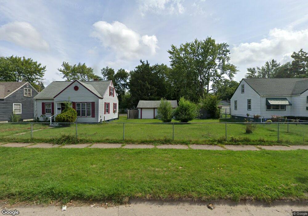
1223 Monroe St Benton Harbor, MI 49022
Estimated Value: $72,000 - $96,000
2
Beds
1
Bath
792
Sq Ft
$110/Sq Ft
Est. Value
About This Home
This home is located at 1223 Monroe St, Benton Harbor, MI 49022 and is currently estimated at $86,953, approximately $109 per square foot. 1223 Monroe St is a home located in Berrien County with nearby schools including Fair Plain Middle School, Benton Harbor High School, and Benton Harbor Charter School Academy.
Ownership History
Date
Name
Owned For
Owner Type
Purchase Details
Closed on
Jun 17, 2024
Sold by
Smith Aurelia
Bought by
Berrien County Treasurer
Current Estimated Value
Purchase Details
Closed on
Jun 14, 2024
Sold by
Smith Aurelia
Bought by
Berrien County Treasurer
Purchase Details
Closed on
Nov 4, 2022
Sold by
Fields Dewayne
Bought by
Smith Aurelia
Purchase Details
Closed on
Jan 14, 2011
Sold by
Fields Linda F and Adams Linda F
Bought by
Fields Dewayne and Fields Linda F
Purchase Details
Closed on
Jan 24, 2001
Purchase Details
Closed on
Apr 6, 1977
Purchase Details
Closed on
Mar 1, 1976
Create a Home Valuation Report for This Property
The Home Valuation Report is an in-depth analysis detailing your home's value as well as a comparison with similar homes in the area
Home Values in the Area
Average Home Value in this Area
Purchase History
We collect this data history from publicly available records. To have your information removed, we recommend requesting removal directly through your county’s website.
| Date | Buyer | Sale Price | Title Company |
|---|---|---|---|
| Berrien County Treasurer | -- | -- | |
| Berrien County Treasurer | -- | -- | |
| Smith Aurelia | $21,000 | -- | |
| Fields Dewayne | -- | None Available | |
| -- | $50,000 | -- | |
| -- | $11,200 | -- | |
| -- | $14,000 | -- |
Source: Public Records
Tax History
| Year | Tax Paid | Tax Assessment Tax Assessment Total Assessment is a certain percentage of the fair market value that is determined by local assessors to be the total taxable value of land and additions on the property. | Land | Improvement |
|---|---|---|---|---|
| 2025 | $799 | $27,500 | $0 | $0 |
| 2024 | $757 | $24,200 | $0 | $0 |
| 2023 | $555 | $17,100 | $0 | $0 |
| 2022 | $719 | $12,700 | $0 | $0 |
| 2021 | $724 | $12,600 | $600 | $12,000 |
| 2020 | $715 | $12,800 | $0 | $0 |
| 2019 | $705 | $11,300 | $0 | $0 |
| 2018 | $690 | $10,900 | $0 | $0 |
| 2017 | $847 | $13,700 | $0 | $0 |
| 2016 | $832 | $13,800 | $0 | $0 |
| 2015 | $830 | $13,300 | $0 | $0 |
| 2014 | $896 | $16,100 | $0 | $0 |
Source: Public Records
Map
Nearby Homes
- 1064 Ogden Ave
- 1221 Pearl St
- 1220 Pearl St
- 991 Ogden Ave
- 1096 Pearl St
- 1145 Broadway
- 956 Union Ave
- 1216 Broadway
- 937 Union Ave
- V/L Mcalister
- 1156 Mc Alister Ave
- 1017 Mcallister Ave
- 1135 Lavette Ave
- 180 Emery Ave
- 1627 Ogden Ave
- 1504 Michigan 139
- 1620 Pearl St
- 979 Lavette Ave
- 1010 Lavette Ave
- 1298 Colfax Ave
- 1211 Monroe St
- 1229 Monroe St
- 1210 Monroe St
- 1214 Jennings Ave
- 1237 Monroe St
- 1218 Monroe St
- 1222 Jennings Ave
- 1230 Jennings Ave
- 1245 Monroe St
- 1208 Monroe St
- 1198 Monroe St
- 1189 Monroe St
- 1236 Jennings Ave
- 1244 Jennings Ave
- 1236 Monroe St
- 1198 Jennings Ave
- 1181 Monroe St
- 1251 Monroe St
- 1184 Monroe St
- 1244 Monroe St
Your Personal Tour Guide
Ask me questions while you tour the home.