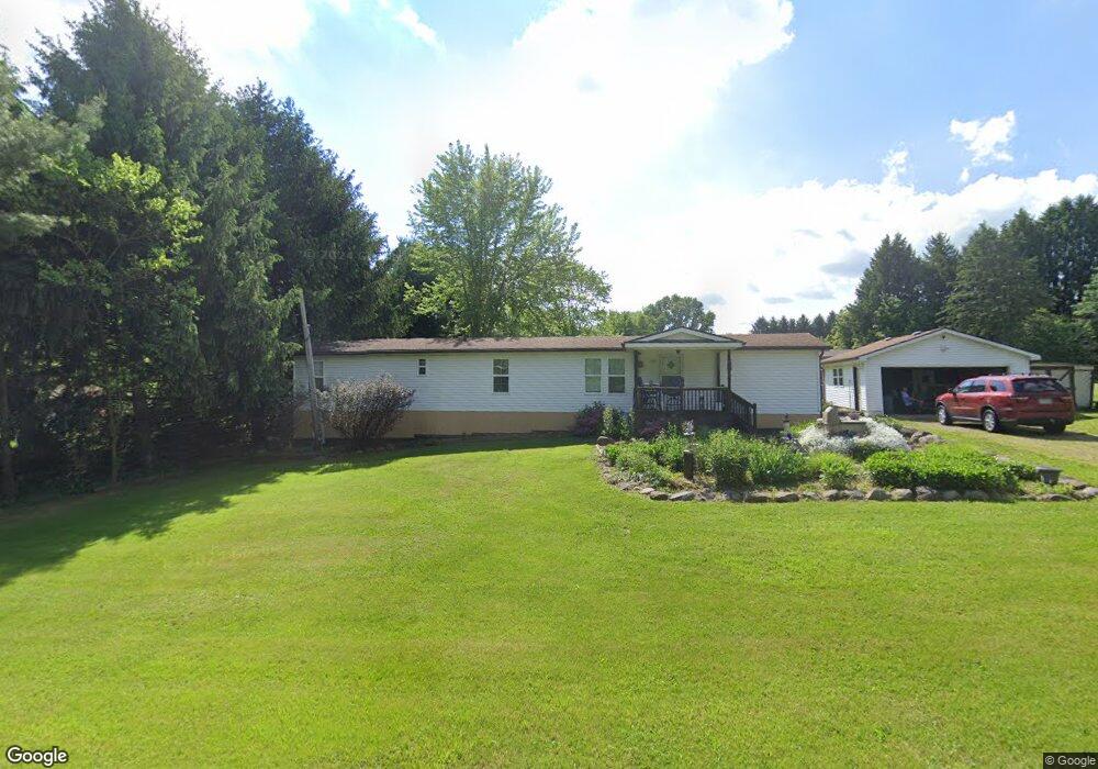
12233 Unity Rd New Springfield, OH 44443
Estimated Value: $67,364 - $72,000
Studio
--
Bath
--
Sq Ft
29,621
Sq Ft Lot
About This Home
This home is located at 12233 Unity Rd, New Springfield, OH 44443 and is currently estimated at $69,682. 12233 Unity Rd is a home with nearby schools including Springfield Elementary School, Springfield Intermediate Middle School, and Springfield High School.
Ownership History
Date
Name
Owned For
Owner Type
Purchase Details
Closed on
May 23, 2023
Sold by
Burns William J
Bought by
Glossen Jenny L
Current Estimated Value
Purchase Details
Closed on
Jan 19, 2007
Sold by
Centric David M and Centric Terri D
Bought by
Burns William J and Burns Ruth E
Home Financials for this Owner
Home Financials are based on the most recent Mortgage that was taken out on this home.
Original Mortgage
$28,800
Interest Rate
6.21%
Mortgage Type
Purchase Money Mortgage
Purchase Details
Closed on
Sep 8, 1989
Bought by
Centric Terri D and Centric David M
Create a Home Valuation Report for This Property
The Home Valuation Report is an in-depth analysis detailing your home's value as well as a comparison with similar homes in the area
Purchase History
| Date | Buyer | Sale Price | Title Company |
|---|---|---|---|
| Glossen Jenny L | -- | -- | |
| Burns William J | -- | -- | |
| Burns William J | -- | -- | |
| Burns William J | $35,000 | Attorney | |
| Centric Terri D | $23,000 | -- |
Source: Public Records
Mortgage History
| Date | Status | Borrower | Loan Amount |
|---|---|---|---|
| Previous Owner | Burns William J | $28,800 |
Source: Public Records
Tax History
| Year | Tax Paid | Tax Assessment Tax Assessment Total Assessment is a certain percentage of the fair market value that is determined by local assessors to be the total taxable value of land and additions on the property. | Land | Improvement |
|---|---|---|---|---|
| 2025 | $474 | $10,520 | $5,940 | $4,580 |
| 2024 | $437 | $10,520 | $5,940 | $4,580 |
| 2023 | $126 | $10,520 | $5,940 | $4,580 |
| 2022 | $44 | $9,690 | $5,940 | $3,750 |
| 2021 | $45 | $9,690 | $5,940 | $3,750 |
| 2020 | $45 | $9,690 | $5,940 | $3,750 |
| 2019 | $444 | $9,230 | $5,940 | $3,290 |
| 2018 | $439 | $9,230 | $5,940 | $3,290 |
| 2017 | $436 | $9,230 | $5,940 | $3,290 |
| 2016 | $364 | $7,600 | $4,660 | $2,940 |
| 2015 | $354 | $7,600 | $4,660 | $2,940 |
| 2014 | $356 | $7,600 | $4,660 | $2,940 |
| 2013 | $353 | $7,600 | $4,660 | $2,940 |
Source: Public Records
Map
Nearby Homes
- 9663 Youngstown - Pittsburgh Rd
- 170 Sandy Ct Unit 11
- 170 Sandy Ct Unit 7
- 10725 Struthers Rd
- 12 Sandy Dr
- 10105 Carrie Ct
- 76 Stacy Dr
- 10115 Carrie Ct
- 4035 Shelly Lynn Dr
- 4025 Shelly Lynn Dr
- 46 Ohlin Dr
- 5589 Middletown Rd E
- 56 Jeffrey Ln
- 13885 Beard Rd
- 0 Columbiana Rd
- 11525 Rapp Rd
- 9868 Unity Rd
- 4957 E Calla Rd
- 5581 E Calla Rd
- 9812 Deltona Dr
- 0 Poland Unity Rd Unit 3020115
- 0 Poland Unity Rd Unit 3134350
- 0 Poland Unity Rd Unit 3148160
- 0 Poland Unity Rd Unit 3148161
- 0 Poland Unity Rd Unit 3148162
- 0 Poland Unity Rd Unit 3148167
- 0 Poland Unity Rd Unit 3385389
- 0 Poland Unity Rd Unit 3853056
- 0 Poland Unity Rd Unit 4314523
- 0 Poland Unity Rd Unit 4137397
- 12130 Unity Rd
- 3981 E South Range Rd
- 3845 E South Range Rd
- 12214 Unity Rd
- 11903 Unity Rd
- 11903 Unity Rd
- 3823 E South Range Rd
- 12215 Unity Rd
- 12266 Unity Rd
- 12265 Unity Rd
Your Personal Tour Guide
Ask me questions while you tour the home.