1225 Worcester Rd New Braintree, MA 01531
Estimated Value: $540,000 - $576,419
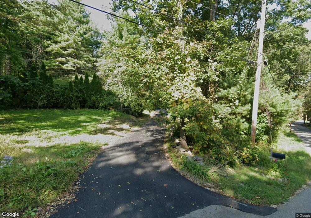
About This Home
This home is located at 1225 Worcester Rd, New Braintree, MA 01531 and is currently estimated at $551,855, approximately $212 per square foot. 1225 Worcester Rd is a home located in Worcester County with nearby schools including Quabbin Regional Middle School and Quabbin Regional High School.
Ownership History
We collect this data history from publicly available records. To have your information removed, we recommend requesting removal directly through your county’s website.
Purchase Details
Home Values in the Area
Average Home Value in this Area
Purchase History
We collect this data history from publicly available records. To have your information removed, we recommend requesting removal directly through your county’s website.
| Date | Buyer | Sale Price | Title Company |
|---|---|---|---|
| $230,000 | -- |
Mortgage History
We collect this data history from publicly available records. To have your information removed, we recommend requesting removal directly through your county’s website.
| Date | Status | Borrower | Loan Amount |
|---|---|---|---|
| Closed | $255,138 | ||
| Closed | $50,000 | ||
| Closed | $183,500 | ||
| Closed | $70,000 | ||
| Closed | $50,000 |
Tax History
We collect this data history from publicly available records. To have your information removed, we recommend requesting removal directly through your county’s website.
| Year | Tax Paid | Tax Assessment Tax Assessment Total Assessment is a certain percentage of the fair market value that is determined by local assessors to be the total taxable value of land and additions on the property. | Land | Improvement |
|---|---|---|---|---|
| 2025 | $69 | $462,500 | $75,400 | $387,100 |
| 2024 | $6,725 | $462,500 | $75,400 | $387,100 |
| 2023 | $6,240 | $425,100 | $75,400 | $349,700 |
| 2022 | $5,530 | $340,300 | $59,900 | $280,400 |
| 2021 | $5,652 | $323,500 | $56,400 | $267,100 |
| 2020 | $5,579 | $322,100 | $56,300 | $265,800 |
| 2019 | $5,535 | $325,600 | $56,300 | $269,300 |
| 2018 | $5,449 | $310,300 | $60,000 | $250,300 |
| 2017 | $5,176 | $286,600 | $63,100 | $223,500 |
| 2016 | $4,987 | $286,600 | $63,100 | $223,500 |
| 2015 | $5,000 | $307,900 | $69,700 | $238,200 |
| 2014 | $5,033 | $308,000 | $69,800 | $238,200 |
Map
- 1026 Worcester Rd
- 157 Robinson Rd
- 1310 N Brookfield Rd
- 622 Spencer Rd
- 13 Washburn Terrace
- 147 Oakham Rd
- 499 Ware Corner Rd
- 16 Flint Rd
- 720 E Hill Rd
- 10 Mill Rd
- 775 E Hill Rd
- 260-A Hunt
- 111 Northwest Rd
- 26 Mill Rd
- 0 Bell Rd Lot 9b
- 357 Barre Rd
- 0 Brooks Pond Rd (Large Parcel)
- 0 Brooks Pond Rd (Small Parcel)
- 0 Brooks Pond Rd (Entire Parcel)
- 331 N Main St
- 40 Letendre Ln
- 1276 Worcester Rd
- 1141 Worcester Rd
- 1170 Worcester Rd
- 66 Letendre Ln
- 1115 Worcester Rd
- 1115 Worcester Rd
- 1115 Worcester Rd
- 1120 Worcester Rd
- 1051 Worcester Rd
- 374 Robinson Rd
- 1956 N Brookfield Rd
- 1994 N Brookfield Rd
- 2014 N Brookfield Rd
- 4 N Brookfield Rd
- 3 N Brookfield Rd
- Lot 2 N Brookfield Rd
- Lot 1 N Brookfield Rd
- 0 Rte 148 Unit 71006106
- 0 Rte 148 Unit 71091217
Ask me questions while you tour the home.