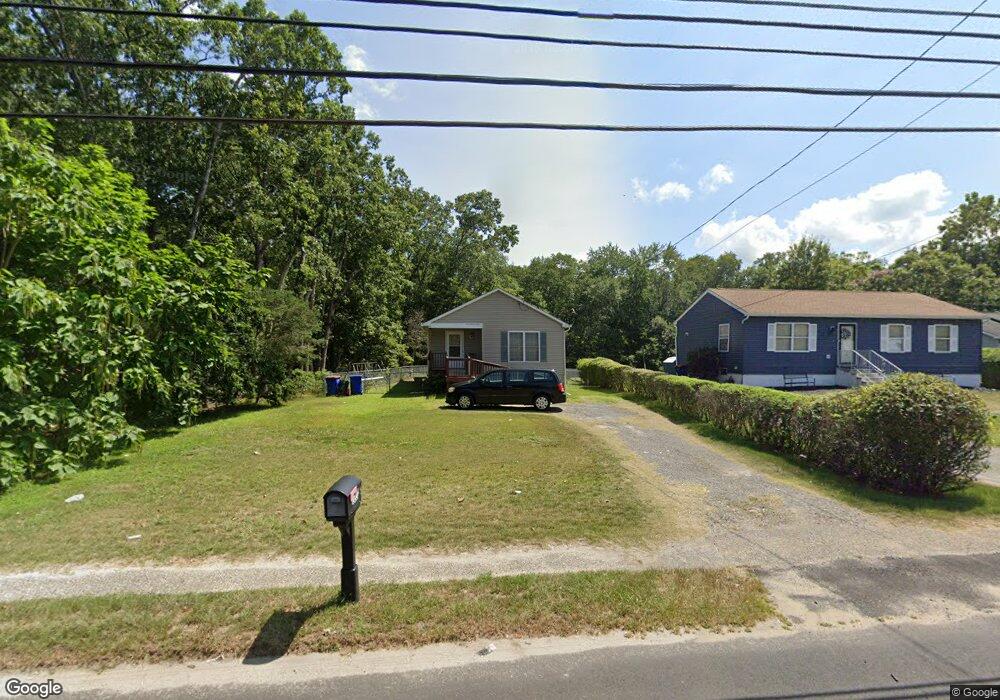
1227 E Broad St Millville, NJ 08332
Estimated Value: $201,215 - $303,000
Studio
--
Bath
1,146
Sq Ft
$217/Sq Ft
Est. Value
About This Home
This home is located at 1227 E Broad St, Millville, NJ 08332 and is currently estimated at $249,054, approximately $217 per square foot. 1227 E Broad St is a home located in Cumberland County with nearby schools including Holly Heights Elementary School, Lakeside Middle School, and Memorial High School.
Ownership History
Date
Name
Owned For
Owner Type
Purchase Details
Closed on
Oct 25, 1996
Sold by
Easmunt Bruce and Jacquet Francis
Bought by
Pierce Garfield J and Pierce Leslie
Current Estimated Value
Purchase Details
Closed on
Oct 11, 1996
Sold by
Levari Nicholas
Bought by
Easmunt Bruce and Jacquet Francis
Purchase Details
Closed on
Jan 3, 1995
Sold by
Levari Nicholas
Bought by
Levari Nicholas
Create a Home Valuation Report for This Property
The Home Valuation Report is an in-depth analysis detailing your home's value as well as a comparison with similar homes in the area
Home Values in the Area
Average Home Value in this Area
Purchase History
| Date | Buyer | Sale Price | Title Company |
|---|---|---|---|
| Pierce Garfield J | $16,500 | Commonwealth Land Title Ins | |
| Easmunt Bruce | -- | Commonwealth Land Title Ins | |
| Levari Nicholas | -- | -- |
Source: Public Records
Tax History
| Year | Tax Paid | Tax Assessment Tax Assessment Total Assessment is a certain percentage of the fair market value that is determined by local assessors to be the total taxable value of land and additions on the property. | Land | Improvement |
|---|---|---|---|---|
| 2025 | $4,620 | $117,700 | $31,600 | $86,100 |
| 2024 | $4,620 | $117,700 | $31,600 | $86,100 |
| 2023 | $4,581 | $117,700 | $31,600 | $86,100 |
| 2022 | $4,462 | $117,700 | $31,600 | $86,100 |
| 2021 | $4,317 | $117,700 | $31,600 | $86,100 |
| 2020 | $4,245 | $117,700 | $31,600 | $86,100 |
| 2019 | $4,049 | $117,700 | $31,600 | $86,100 |
| 2018 | $3,965 | $117,700 | $31,600 | $86,100 |
| 2017 | $3,929 | $117,700 | $31,600 | $86,100 |
| 2016 | $3,879 | $117,700 | $31,600 | $86,100 |
| 2015 | $3,792 | $117,700 | $31,600 | $86,100 |
| 2014 | $3,799 | $117,700 | $31,600 | $86,100 |
Source: Public Records
Map
Nearby Homes
- 1223 E Broad St
- 1219 E Broad St
- 1213 E Broad St
- 1222 E Broad St
- 1220 E Broad St
- 1224 E Broad St
- 1214 E Broad St
- 1211 E Broad St
- 1210 E Broad St
- 1228 E Broad St
- 1206 E Broad St
- 1205 E Broad St
- 1209 Hance Bridge Rd
- 1207 E Broad St
- 1240 E Broad St
- 1215 Hance Bridge Rd
- 1201 Hance Bridge Rd
- 1131 Hance Bridge Rd
- 1401 Hance Bridge Rd
- 1201 E Broad St
Your Personal Tour Guide
Ask me questions while you tour the home.