1229 Cannonville Rd Lagrange, GA 30240
Estimated Value: $223,826 - $246,000
3
Beds
3
Baths
1,560
Sq Ft
$150/Sq Ft
Est. Value
About This Home
This home is located at 1229 Cannonville Rd, Lagrange, GA 30240 and is currently estimated at $233,457, approximately $149 per square foot. 1229 Cannonville Rd is a home located in Troup County with nearby schools including Long Cane Elementary School, Berta Weathersbee Elementary School, and Whitesville Road Elementary School.
Ownership History
Date
Name
Owned For
Owner Type
Purchase Details
Closed on
May 25, 2018
Sold by
Hill Tara T
Bought by
Hill Larry D
Current Estimated Value
Purchase Details
Closed on
Jun 19, 2001
Sold by
Larry D Hill
Bought by
Tara Larry D and Tara Hill
Purchase Details
Closed on
Jul 28, 2000
Sold by
Omega Hill
Bought by
Larry D Hill
Create a Home Valuation Report for This Property
The Home Valuation Report is an in-depth analysis detailing your home's value as well as a comparison with similar homes in the area
Purchase History
| Date | Buyer | Sale Price | Title Company |
|---|---|---|---|
| Hill Larry D | -- | -- | |
| Tara Larry D | -- | -- | |
| Larry D Hill | -- | -- |
Source: Public Records
Tax History
| Year | Tax Paid | Tax Assessment Tax Assessment Total Assessment is a certain percentage of the fair market value that is determined by local assessors to be the total taxable value of land and additions on the property. | Land | Improvement |
|---|---|---|---|---|
| 2025 | $1,985 | $78,076 | $6,680 | $71,396 |
| 2024 | $1,822 | $68,812 | $6,680 | $62,132 |
| 2023 | $1,656 | $62,696 | $6,680 | $56,016 |
| 2022 | $1,602 | $59,376 | $6,680 | $52,696 |
| 2021 | $1,442 | $49,800 | $7,600 | $42,200 |
| 2020 | $1,442 | $49,800 | $7,600 | $42,200 |
| 2019 | $1,337 | $46,304 | $5,624 | $40,680 |
| 2018 | $1,226 | $42,624 | $5,624 | $37,000 |
| 2017 | $1,226 | $42,624 | $5,624 | $37,000 |
| 2016 | $1,195 | $41,622 | $5,624 | $35,998 |
| 2015 | $1,126 | $39,252 | $5,624 | $33,628 |
| 2014 | $1,074 | $37,482 | $5,624 | $31,858 |
| 2013 | -- | $40,009 | $5,624 | $34,385 |
Source: Public Records
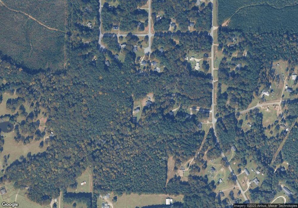
Map
Nearby Homes
- 2663-2683 W Point Rd
- 5047 W Point Rd
- 102 Bridgewater Dr
- 105 Redwood Dr
- 3009 Old West Point Rd
- 107 Waters Edge Dr
- 423 Gabbettville Rd
- 5714 W Point Rd
- 3658 W Point Rd
- 797 Gabbettville Rd
- 22 Freeman Rd
- Sandtown Rd
- 0 Sandtown Rd Unit 10255987
- 0 Glass Bridge Rd Unit 10679358
- 0 Warner Rd Unit 10686116
- 648 Warner Rd
- 104 Independence Ct
- 90 Hickory Ln
- 2239 Pegasus Pkwy
- 0 Lambert Rd
- 1223 Cannonville Rd
- 1158 Cannonville Rd
- 102 Upland Ct
- 103 Upland Ct
- 103 Pinebrook Ct
- 105 Pinebrook Ct
- 1211 Cannonville Rd
- 100 Upland Ct
- 101 Upland Ct
- 104 Pinebrook Ct
- 1213 Cannonville Rd
- 107 Pinebrook Dr
- 102 Pinebrook Ct
- 101 Pinebrook Dr
- 1195 Cannonville Rd
- 201 Upland Ct
- 100 Pinebrook Ct
- 106 Pinebrook Dr
- 797 Long Cane Rd
- 200 Upland Ct
Your Personal Tour Guide
Ask me questions while you tour the home.