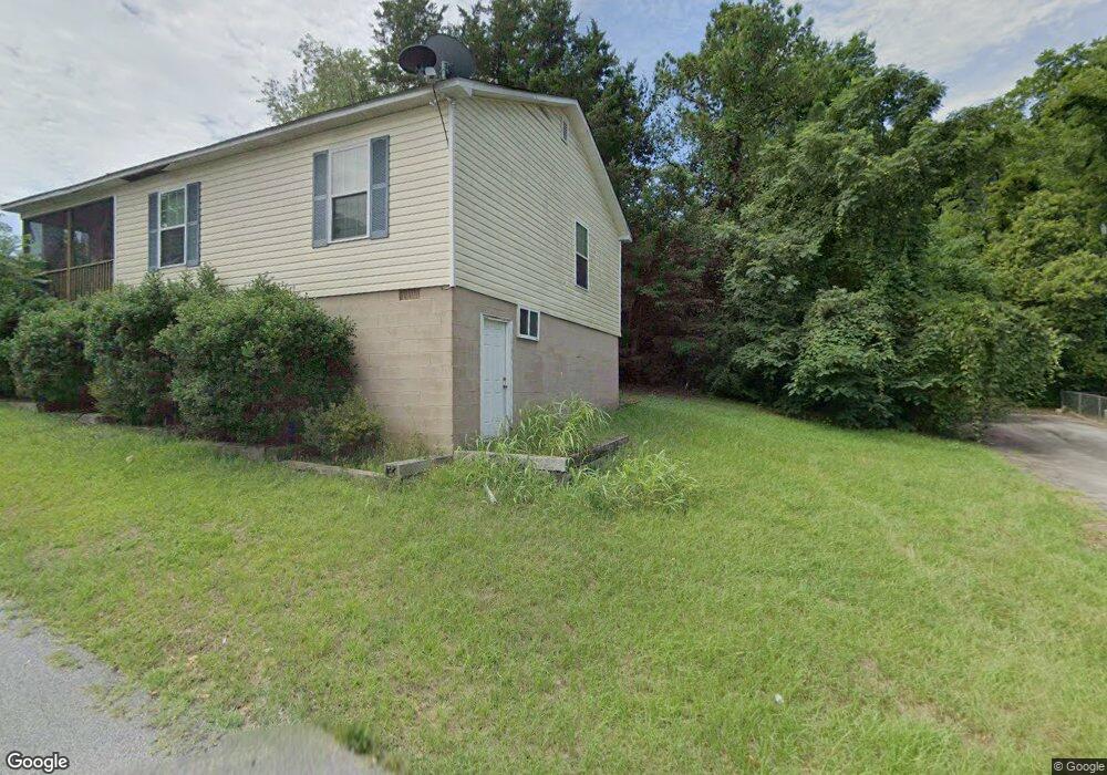
123 Fleming St Darlington, SC 29532
Estimated Value: $104,000 - $187,000
2
Beds
1
Bath
1,148
Sq Ft
$112/Sq Ft
Est. Value
About This Home
This home is located at 123 Fleming St, Darlington, SC 29532 and is currently estimated at $128,676, approximately $112 per square foot. 123 Fleming St is a home with nearby schools including St. Johns Elementary School, Darlington Middle School, and Darlington High School.
Ownership History
Date
Name
Owned For
Owner Type
Purchase Details
Closed on
Jul 26, 2012
Sold by
Darlington County Habitat For Humanity
Bought by
Martin Adrian and Martin Akueila
Current Estimated Value
Home Financials for this Owner
Home Financials are based on the most recent Mortgage that was taken out on this home.
Original Mortgage
$67,200
Outstanding Balance
$28,363
Interest Rate
3.68%
Mortgage Type
Purchase Money Mortgage
Estimated Equity
$100,313
Purchase Details
Closed on
Jul 1, 2009
Sold by
Tuck William J
Bought by
Darlington County Habitat For Humanity
Purchase Details
Closed on
Jan 9, 2009
Sold by
Davis Roosevelt T and Simon Lashawnta
Bought by
Tuck William J
Create a Home Valuation Report for This Property
The Home Valuation Report is an in-depth analysis detailing your home's value as well as a comparison with similar homes in the area
Home Values in the Area
Average Home Value in this Area
Purchase History
| Date | Buyer | Sale Price | Title Company |
|---|---|---|---|
| Martin Adrian | $87,200 | -- | |
| Darlington County Habitat For Humanity | -- | -- | |
| Tuck William J | $1,000 | -- |
Source: Public Records
Mortgage History
| Date | Status | Borrower | Loan Amount |
|---|---|---|---|
| Open | Martin Adrian | $67,200 | |
| Closed | Martin Adrian | $20,000 |
Source: Public Records
Tax History
| Year | Tax Paid | Tax Assessment Tax Assessment Total Assessment is a certain percentage of the fair market value that is determined by local assessors to be the total taxable value of land and additions on the property. | Land | Improvement |
|---|---|---|---|---|
| 2025 | $689 | $4,120 | $0 | $0 |
| 2024 | $7 | $4,120 | $0 | $0 |
| 2023 | $938 | $3,750 | $0 | $0 |
| 2022 | $938 | $3,750 | $0 | $0 |
| 2021 | $938 | $3,750 | $0 | $0 |
| 2020 | $599 | $3,750 | $0 | $0 |
| 2019 | $618 | $3,750 | $0 | $0 |
| 2018 | $496 | $3,480 | $100 | $3,380 |
| 2017 | $446 | $3,480 | $100 | $3,380 |
| 2016 | $438 | $3,480 | $100 | $3,380 |
| 2014 | $475 | $3,480 | $100 | $3,380 |
| 2013 | -- | $3,480 | $100 | $3,380 |
Source: Public Records
Map
Nearby Homes
- 1011 Pearl St
- 0 Harry Byrd Hwy
- 218 Davis St
- TBD Lamar Hwy
- TBD N Governor Williams Hwy 4 24ac
- 527 Stanley Cir
- 4757 Northpark Dr
- 2123 S Fork Dr
- 4733 Northpark Dr
- 305 Wells St
- 0 Stanley Cir
- 508 Elm St
- 237 W Broad St
- 120 Saint Johns St
- Lot 14 Wildshall Rd
- 617 Weaver St
- 510 Peach St
- S Governor Williams Hwy
- 200 Southern Pine St
- 608 Wood Duck Dr
Your Personal Tour Guide
Ask me questions while you tour the home.