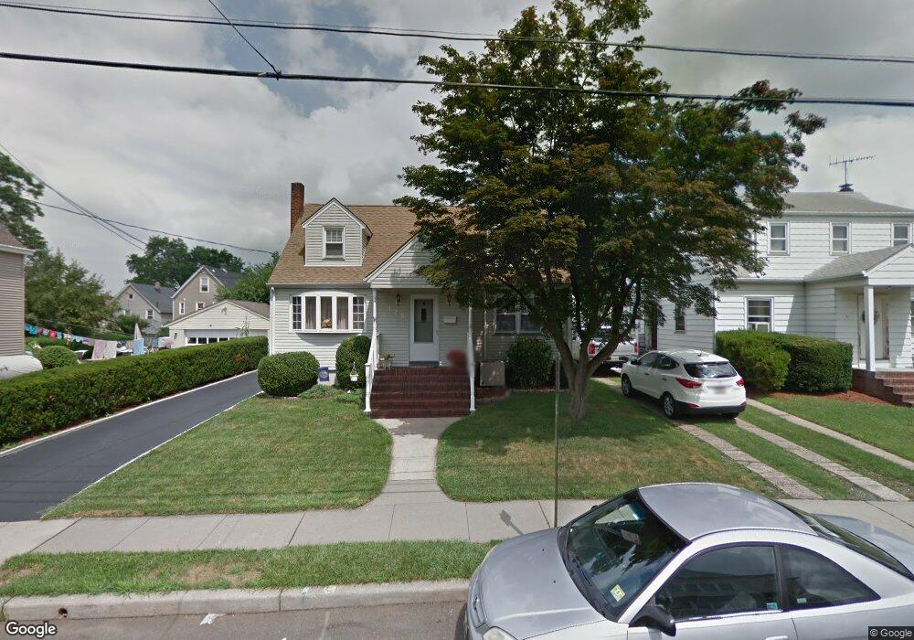
123 Sampson St Garfield, NJ 07026
Estimated Value: $645,702 - $772,000
Studio
--
Bath
1,897
Sq Ft
$371/Sq Ft
Est. Value
About This Home
This home is located at 123 Sampson St, Garfield, NJ 07026 and is currently estimated at $704,176, approximately $371 per square foot. 123 Sampson St is a home located in Bergen County with nearby schools including Garfield High School, Bergen Arts and Sciences Charter School, and Rainbow Montessori School - Clifton.
Ownership History
Date
Name
Owned For
Owner Type
Purchase Details
Closed on
Jul 27, 2007
Sold by
Szymanski Ronald and Szymanski Kathleen
Bought by
Funke Wayne and Funke Iris
Current Estimated Value
Purchase Details
Closed on
Jan 26, 1996
Sold by
Zurey Esther
Bought by
Szymanski Ronald and Szymanski Kathleen
Home Financials for this Owner
Home Financials are based on the most recent Mortgage that was taken out on this home.
Original Mortgage
$133,000
Interest Rate
7.1%
Create a Home Valuation Report for This Property
The Home Valuation Report is an in-depth analysis detailing your home's value as well as a comparison with similar homes in the area
Home Values in the Area
Average Home Value in this Area
Purchase History
| Date | Buyer | Sale Price | Title Company |
|---|---|---|---|
| Funke Wayne | $413,000 | -- | |
| Szymanski Ronald | $148,000 | -- |
Source: Public Records
Mortgage History
| Date | Status | Borrower | Loan Amount |
|---|---|---|---|
| Previous Owner | Szymanski Ronald | $133,000 |
Source: Public Records
Tax History
| Year | Tax Paid | Tax Assessment Tax Assessment Total Assessment is a certain percentage of the fair market value that is determined by local assessors to be the total taxable value of land and additions on the property. | Land | Improvement |
|---|---|---|---|---|
| 2025 | $10,118 | $303,200 | $130,000 | $173,200 |
| 2024 | $9,948 | $303,200 | $130,000 | $173,200 |
| 2023 | $9,207 | $303,200 | $130,000 | $173,200 |
| 2022 | $9,457 | $303,200 | $130,000 | $173,200 |
| 2021 | $8,295 | $303,200 | $130,000 | $173,200 |
| 2020 | $8,981 | $303,200 | $130,000 | $173,200 |
| 2019 | $8,811 | $303,200 | $130,000 | $173,200 |
| 2018 | $8,614 | $303,200 | $130,000 | $173,200 |
| 2017 | $8,462 | $303,200 | $130,000 | $173,200 |
| 2016 | $8,211 | $303,200 | $130,000 | $173,200 |
| 2015 | $8,008 | $303,200 | $130,000 | $173,200 |
| 2014 | $7,795 | $303,200 | $130,000 | $173,200 |
Source: Public Records
Map
Nearby Homes
- 164 Chestnut St
- 319 Outwater Ln
- 6 Garden Ct S
- 83 Plauderville Ave
- 123 Chestnut St
- 19 Plauderville Ave Unit 110
- 122 Cedar St
- 54 Bergen St
- 374 Semel Ave
- 0 Passaic Unit 26009533
- 107 Summit Ave
- 337 1st St
- 127 Morris Ave
- 44 Scudder St
- 52 Manner Ave
- 345 2nd St
- 167 Shaw St
- 60 Dewitt St Unit A
- 60 Dewitt St
- 413 Lanza Ave
Your Personal Tour Guide
Ask me questions while you tour the home.