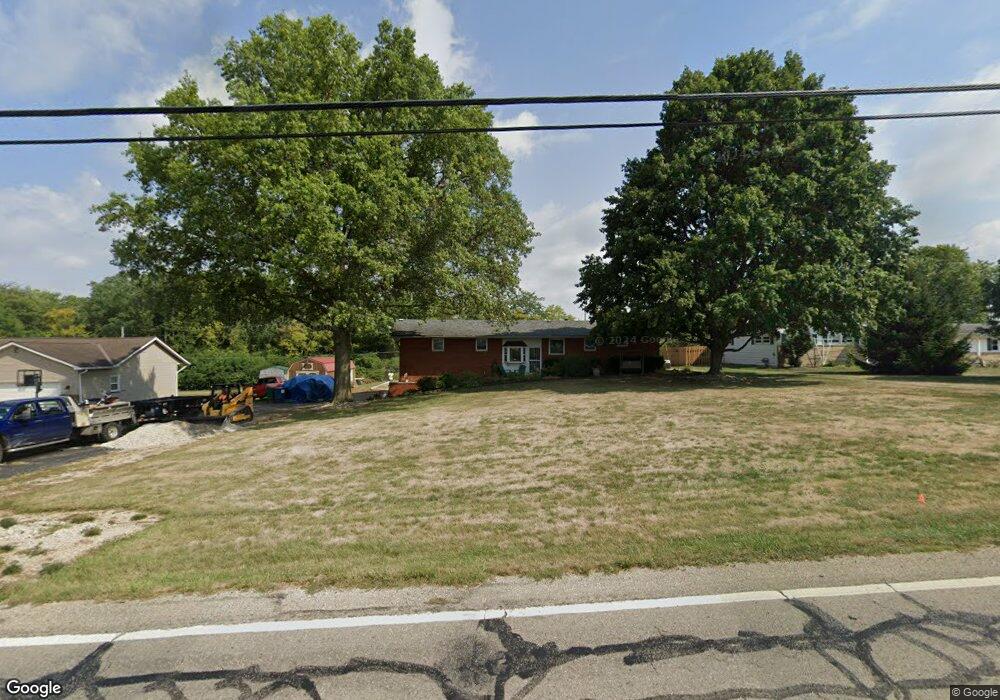
1230 Rohr Rd Lockbourne, OH 43137
Estimated Value: $343,358 - $388,000
About This Home
This home is located at 1230 Rohr Rd, Lockbourne, OH 43137 and is currently estimated at $363,340, approximately $221 per square foot. 1230 Rohr Rd is a home located in Franklin County with nearby schools including Hamilton Elementary School, Hamilton Intermediate School, and Hamilton Middle School.
Ownership History
We collect this data history from publicly available records. To have your information removed, we recommend requesting removal directly through your county’s website.
Purchase Details
Home Financials for this Owner
Home Financials are based on the most recent Mortgage that was taken out on this home.Purchase Details
Home Values in the Area
Average Home Value in this Area
Purchase History
We collect this data history from publicly available records. To have your information removed, we recommend requesting removal directly through your county’s website.
| Date | Buyer | Sale Price | Title Company |
|---|---|---|---|
| $149,000 | Midland Celtic Title | ||
| -- | -- |
Mortgage History
We collect this data history from publicly available records. To have your information removed, we recommend requesting removal directly through your county’s website.
| Date | Status | Borrower | Loan Amount |
|---|---|---|---|
| Open | $147,784 |
Tax History
We collect this data history from publicly available records. To have your information removed, we recommend requesting removal directly through your county’s website.
| Year | Tax Paid | Tax Assessment Tax Assessment Total Assessment is a certain percentage of the fair market value that is determined by local assessors to be the total taxable value of land and additions on the property. | Land | Improvement |
|---|---|---|---|---|
| 2025 | $5,246 | $114,810 | $27,900 | $86,910 |
| 2024 | $5,246 | $114,810 | $27,900 | $86,910 |
| 2023 | $5,218 | $114,810 | $27,900 | $86,910 |
| 2022 | $3,718 | $68,570 | $14,350 | $54,220 |
| 2021 | $3,769 | $68,570 | $14,350 | $54,220 |
| 2020 | $3,838 | $68,570 | $14,350 | $54,220 |
| 2019 | $3,611 | $57,160 | $11,970 | $45,190 |
| 2018 | $3,088 | $57,160 | $11,970 | $45,190 |
| 2017 | $3,082 | $57,160 | $11,970 | $45,190 |
| 2016 | $2,755 | $42,600 | $8,960 | $33,640 |
| 2015 | $2,614 | $42,600 | $8,960 | $33,640 |
| 2014 | $2,600 | $42,600 | $8,960 | $33,640 |
| 2013 | $1,391 | $47,320 | $9,940 | $37,380 |
Map
- 1295 Acuff Ave Unit Lot 107
- 1315 Webb Dr Unit Lot 93
- 1291 Webb Dr Unit Lot 90
- 5120 Fairlane Rd
- 1354 Acuff Ave Unit Lot 76
- 1319 Theodore Dr
- 847 Kingland Dr
- 5060 Ranger Dr Unit Lot 87
- 4903 Astoria Ave
- 0 Lockbourne Rd Unit 226012428
- 4850 Ridge St
- 5021 Grimm Dr
- 1953 Todd Ave
- 1093 Gartner Ct
- 4980 Fosterson Dr
- 1132 Ayrshire Dr
- 1124 Ayrshire Dr
- 318 Kear St
- 1107 Gelbray Dr
- 4436 Wesley Trail
Ask me questions while you tour the home.